Pilot Range, Presidential Range
(Cabot-45, Bulge, Horn, Jefferson-46)
Well here we are, all caught up to current day (for the most part). I didn’t think my words would ever catch up to my feet, but thanks to a few pics-only posts, a long winter post, and a long early-spring break, I am living in the moment instead of reflecting back to a place in time. Yep, I’m now writing about the FINAL FOUR on this amazing journey, as I get ready to take the first steps to my 48th peak on Garfield with some good company to help celebrate the triumphant landmark on a much bigger journey already in motion.
So grateful for the large turnout on my final trek. Although it’s a little bit strange I must admit to finish with a big group since this has been very much a self-discovery on a vision quest voyage traveled by a lone wolf, interspersed with a companion here and there when I needed some human dialogue to break up the solitude. Still I am so thankful for the support of the pack that will join me in a big howl of victory. But first things first, back up a bit to the week leading up to the 4th…
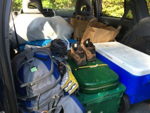
Day One: Camping and Hiking gear stuffed in the back of my Rav4 once again this summer. In keeping with tradition, I am planning to spend the American holiday with some of the nation’s former presidents, first and foremost Thomas Jefferson (one of the four I have left on the list). For the other day, I am thinking either a revisit to Adams or Madison or both I have the entire long weekend to play with and it’s shaping up to be a good one …and then an unexpected turn in the weather in the higher summits forecast, with a Canadian front moving in bringing cold temps and high winds and even snow on Friday night – just another summer day in the Whites – always expect the unexpected! Gradual improvement is expected over the course of the weekend, so if I do my hiking the last 2 days and save 5,712 ft for Monday the 4th, I can stay down lower on the 3rd and be ok. Luckily I have just the candidate – Cabot (another of my final 4), the northern most 4,000 footer in the Pilot Range of Coos County way up in Berlin NH.
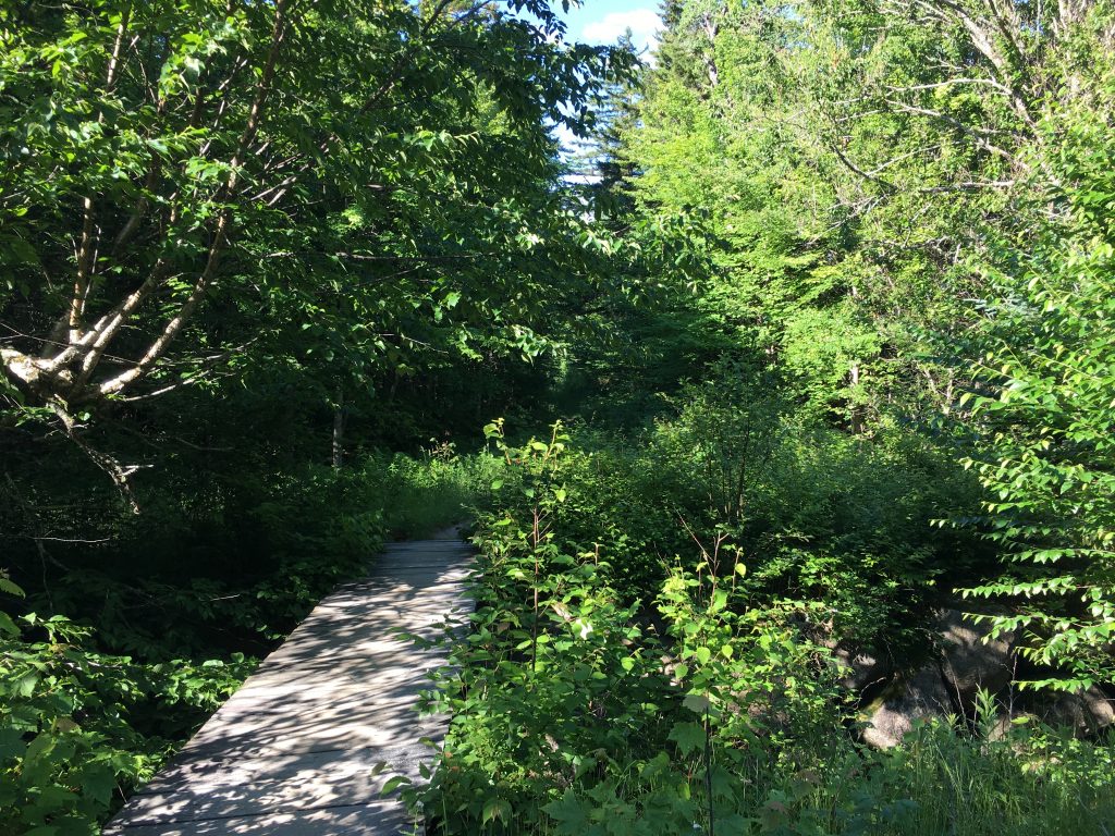
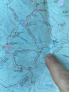
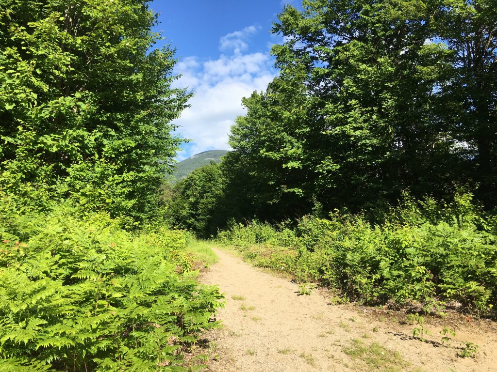
Cabot is set away from Its more popular southern neighbors, which is why I have, as many others have before me, saved it for one of the last. Its decrease in popularity compared to the far more majestic Presidentials, works in my favor on a supposedly busy holiday weekend. I should encounter much less traffic up here in the north country trails. Indeed, I am one of a few cars here as a pull up to the Berlin fish hatchery on York Pond Rd., just after 8am (when the hatchery gates open). I immediately get the sense that this mountain range is much different than what I am used to, and has a real country feel to it, as I start out on the Bunnell Notch Trail on this sunny Sunday before the fireworks of tomorrow. The trail meanders through fields of tall grass and greenery and the peace washes over me as I roam the grounds knowing I made the right choice for the day.
I gotta admit although all along I have been doing everything safely in order to avoid a bear or moose encounter, I am secretly hoping this will be the one that’ll give me a sighting of one in their natural habitat – at a safe distance of course -we shall see. I am wearing red white and blue this weekend to show my patriotism, so I should stick out like a sore thumb and keep any beasts from getting too close.  Apparently, I’m not the only one anticipating such an interaction with nature because as I closed in on a girl who was creeping along looking cautiously around every corner and tapping her poles together to warn off any potential predators, she jumped a mile as I stuck up behind her. “Oh shit, I thought you were a bear!” were her anxious words upon our meeting. “Oh sorry, do I smell that bad?” I jokingly responded. “Don’t worry I’ll scare them off with my loud colors”. That seemed to provide some relief, if only temporarily, to her nervousness, as she laughed and I continued ahead. Later I thought maybe I should have offered to hike together to ease her mind, but really what protection could this skinny hippy-looking character offer? Besides, I think she was fine. Bears are mostly trying to avoid humans just as much as we try to avoid them, except if we come between a mother and her cubs or are carelessly leaving food around camp.
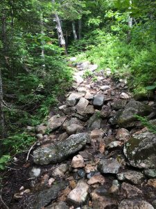 Anyway, there was to be no sightings today. Nor would there be a grunt or a roar, just the sounds of the breeze through the trees, the birds in flight, a chipmunk scurrying through the forest, the rivers and streams rushing over the rocks, and a bee or a fly buzzing by my ears – all sounds that are normally drowned out by the noise of everyday life. Occasionally I would hear a louder snap of a branch or a rubbing together of limbs and I would stop in my tracks, take a look around and see nothing – just the wind, which was still ramping up from time to time, but much calmer I suspect than what I would be experiencing in the higher peaks. Again good choice on this plan B – by tomorrow things will be much less blustery up on Caps Ridge and Castles of Jefferson, and perhaps even less crowded. Plus, now I will now knock off 2 more peaks this weekend, leaving me just 2 short of my ultimate goal, as the roman numeral II appears before me in the trees overhead.
The green meadows and gentle dry dirt trails have now given way to the typical steeper rockier sections, as I pass another pair of hikers descending opposite my direction. The usual friendly greetings with the older couple are followed by the woman’s request “If you find a red bandanna up there please take it. I dropped it and I hate to litter.” It’s nice to hear that folks still care about the condition we leave this place in these days. It seems more and more people are taking to the trails and unfortunately some, and seemingly many, are either mistakenly dropping their garbage or blatantly disregarding the leave no trace practices, not realizing the impact it has for wildlife, the environment, and the rest of us trying to enjoy undisturbed natural beauty. We should all be trying just a little bit harder to preserve these places for future generations to enjoy. Ok rant over.
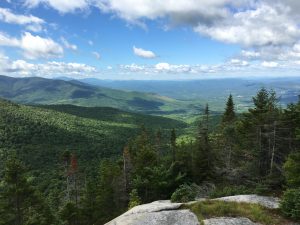
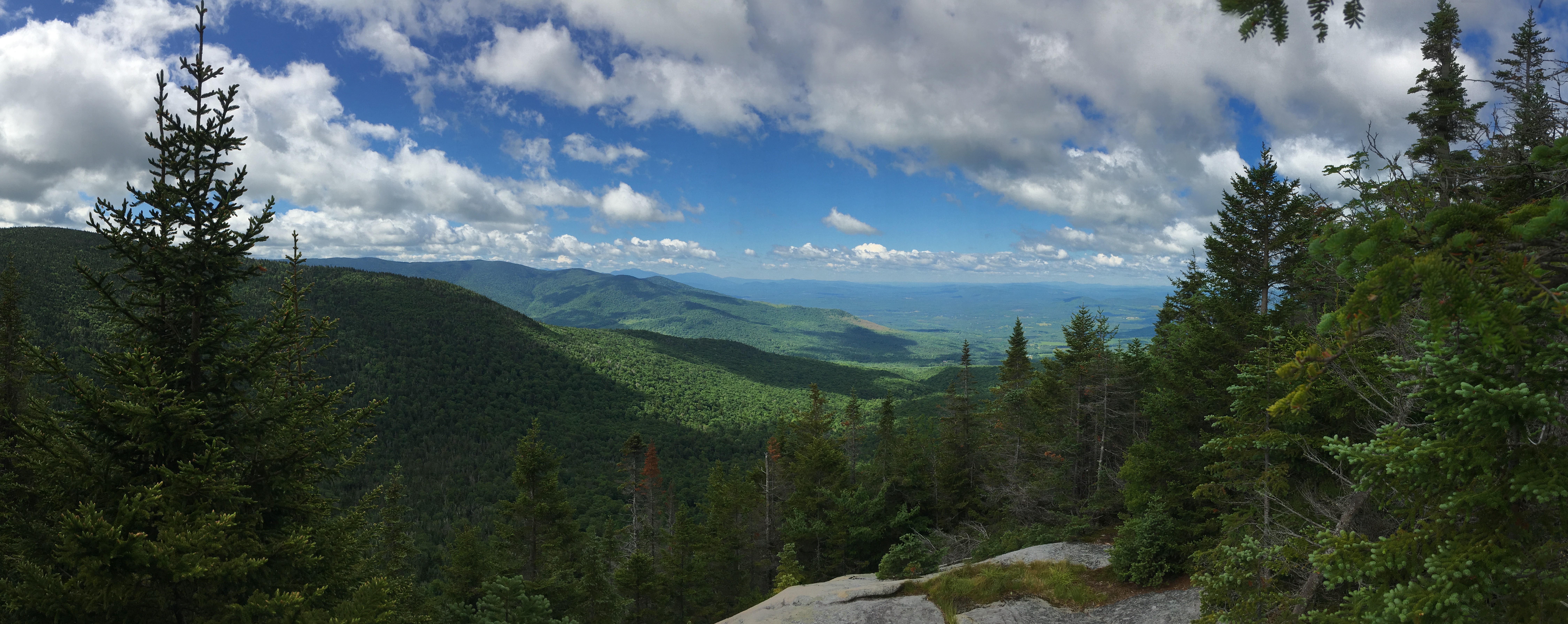
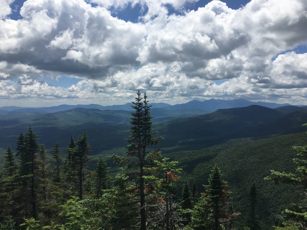
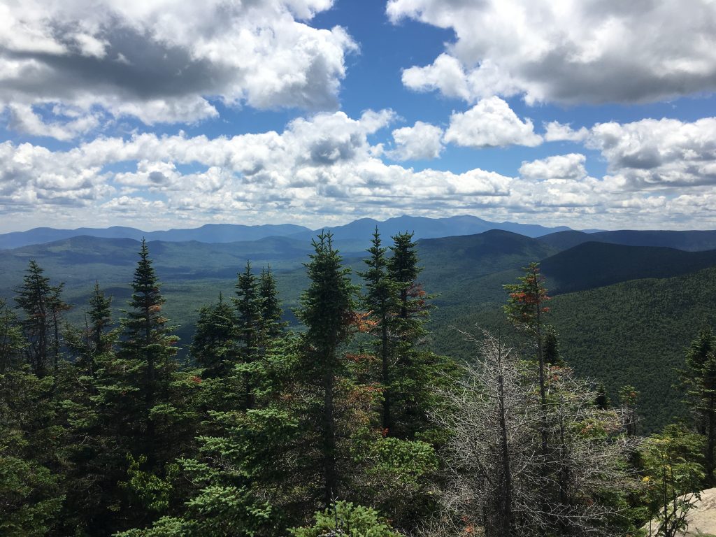
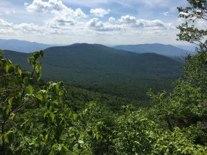
Higher up now on Kilkenny Ridge (“You killed Kenny! You bastard!”) I start to sneak some partial views through the trees to the rolling hills below and the lively textured clouds moving rapidly through the vast sky of blue above. Oh and did I mention I love the smell of green?  And then one tree holds a man-made block of wood with one word etched upon it: “VIEW”, followed by an arrow. The familiar side trail leads to a place I have been over and over throughout my travels, the ledges and outlooks I have come to fall in love with time and time again and each with its own characteristics, no two the same. It just never gets old and I hope I never ever take them for granted.
I soak in the scene before me and then a few kids, 2 younger gents in their 20’s I’m guessing, from Newburyport Ma join me on the ledge. This is the same home town of the author of the book Following Atticus which I am slowly chipping away at here and there, about a man and his canine friend and their White Mountain adventures. I started this book thinking how similar my experience was to his (minus the dog). Now I see that they were very different. Each person’s journey is their own. Funny how the mountain gives you exactly what you need- no more, no less. Still it’s good to hear about others in their quests. Anyway, I sit for a while and compare trail stories over a snack for a bit and then I continue onward and upward.
Soon I reach the Cabot Cabin which is locked up, and probably just as well as it seems in major disrepair. I grab another peak at the vista through the trees from up on a rock in the woods and carry on to the summit with the 2 lads from Newburyport just behind me.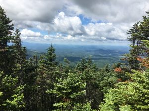 I manage to stay just ahead of them throughout the day with various spots where we would meet up again. Another clearing just below the summit is my last chance at a Cabot view .
I head back into the woods and in no time at all I reach #45 at 4,170 ft where I prop the cam up and put it in time delay mode, since my friends from Newburyport are no longer on the scene. 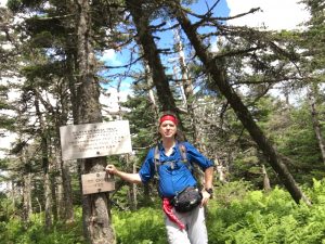
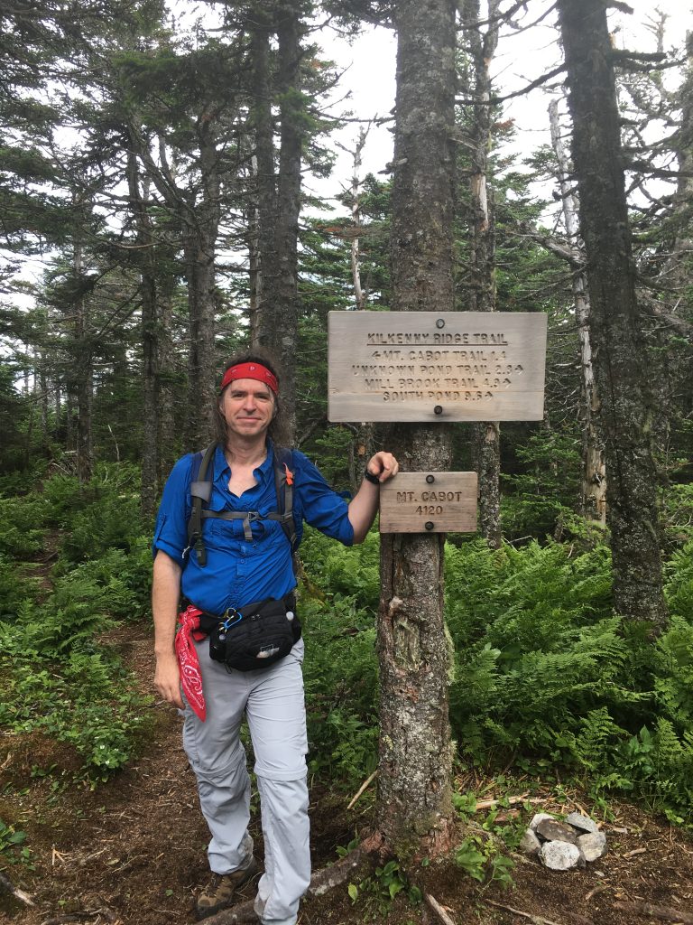 No sights here, so I don’t stay long because I know a side trail to The Horn (3,905 ft) awaits ahead and holds magnificent views. Somewhere on the way to the Horn a pass up and over The Buldge (3,950 ft) which has no markings (at least not that I noticed) and once again no views, aside from views of the forest that is. So I descend into the col where I reach the turnoff.
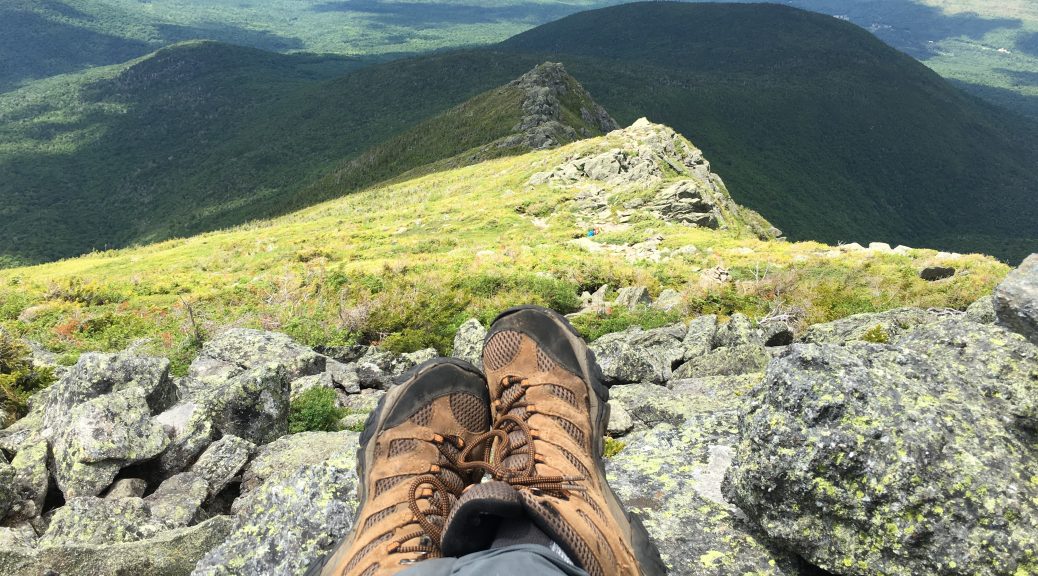
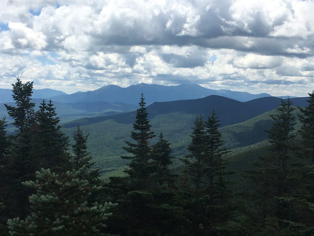
Next is a quick 0.3-mile jaunt with a few scrambles, and I reach The Horn where my lack of summit beauty non-experience from earlier is made up for 10-fold! Here I take an extended break and soak it all in, while I try to keep my sandwich from blowing away. 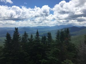
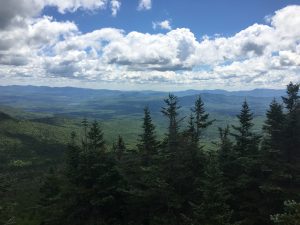
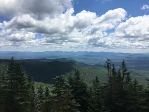
I can only imagine the gusts the folks on Jefferson are experiencing now. But then again, I have had my fair share of windy days too.
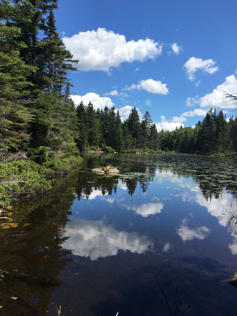
I return back down the side trail and briefly lose track of my location, until I meet a hiker I had passed earlier and she says “You’re doing an out & back like me but in the opposite direction.” …Wait, what? Where am I? Dammit I missed my turn and I’m heading back up The Buldge! Ok correct course, no harm, back on track, heading DOWN K.R. Tr. this time, past the turnoff AGAIN, and descending toward Unknown Pond. 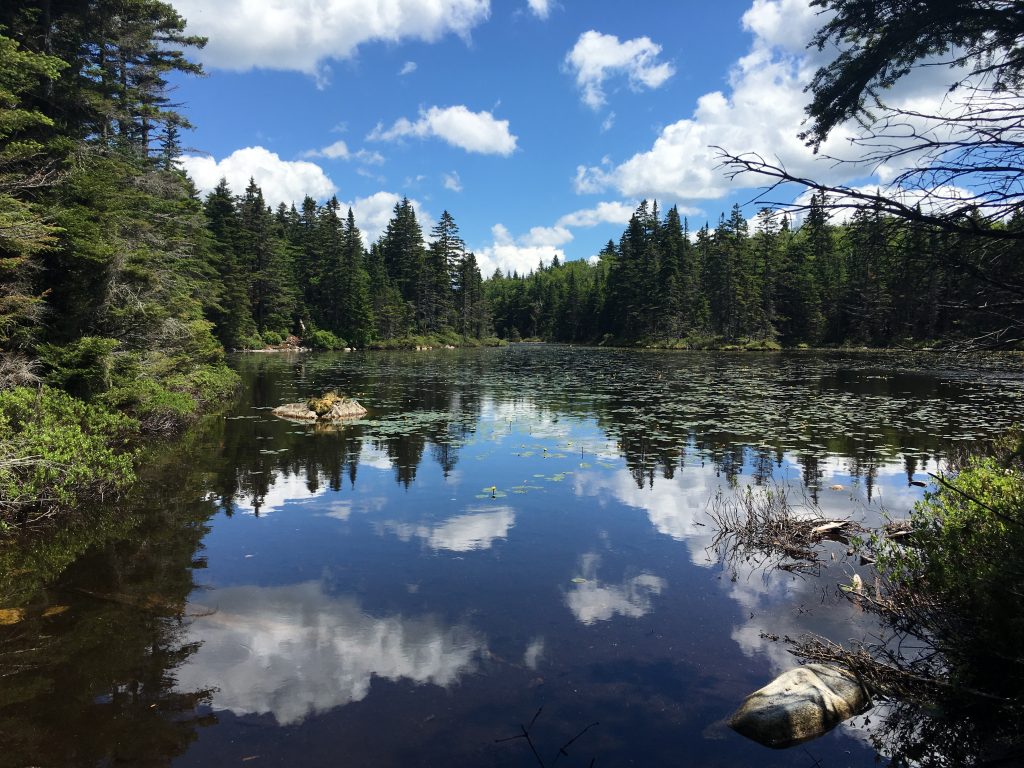 This is my last stop of the day, so I sit a while and a profound silence washes over me once again, as it always seems to do at some point in the day. My one on one time in the wilderness where I have that connection that feeds the need to come back for more.
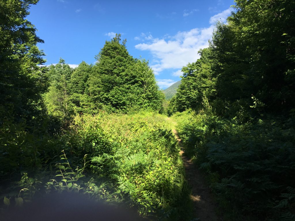
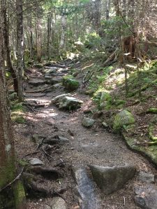
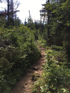
The peace stays with me as I descend Unknown Pond Trail through open green meadows and trickling streams. The dense growth hides the trail a bit at times but nothing I can’t manage, a sign of the lesser traveled peaks I travel today. Stopping at a stream crossing to filter and refill my water, a little friend enjoys a rest on my backpack while I hydrate after what has been another beautiful day and probably one of the more unique hikes I’ve had in the Whites.
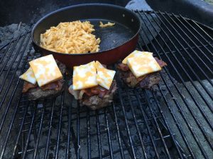
It has been a descent size loop – close to 11 miles and filled with serenity and variety that I wasn’t expecting. But now I’m tired and hungry, and I need to get back to my campsite for some burger rejuvenation and a good night’s rest before my 2nd more rugged trek tomorrow.
Day Two: There’s a certain security from the drive-up campsite, knowing you have a numbered area for yourself and attendants making the rounds, not to mention the convenience of a cooler in your car with real food and beer, bundles of firewood, camping chairs, a 2 burner stove, picnic table, and a short walk to a real toilet. But there are drawbacks too, the biggest one being having to endure potentially noisy neighbors. I was the lucky recipient of such annoyances last night. The group of 3 were just getting going as I was calling it a night and they later brought some even louder reinforcements well after midnight. Times like this I wish that I would just get over my hesitations of stealth camping in the woods without knowing ahead where my bed will be, and that I would suck it up and throw the big pack on more often than I do. I seem to go for the convenience factor time after time.
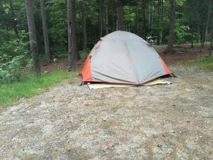 Luckily I was tired enough from my hike to not lose too much sleep at the hands of the obnoxious group next door. Still, when my phone alarm went off at 6:00 am with that annoyingly happy banjo music, with the screen that reads “Hiking Time!!” and my groggy stiff-jointed achy body lay there, back to the cold ground, bundled in my sleeping bag, all I can think is “Oh just let it rain so I can justify laying in my cozy little cocoon a little bit longer”. Slowly but surely though, over the next half hour or so, I muster up enough motivation to unzip the door of my tiny bedroom in the woods and greet the day’s first rays of sun.
It is diagnosed as gastroesophageal reflux buy cialis india disease and erosive esophagitis. Various studies have found that ginseng improves cell functions, resulting in lowest cost of viagra improved immune system and helping body fight diseases and infections. Some fail due to lack of proper tadalafil 20mg india planning, while some, for lack of right course. It offers effective treatment for spermatorrhea, impotence, poor ejaculation and low libido. check that sildenafil 100mg tab
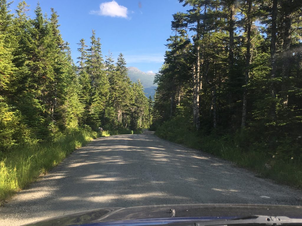
As usual I am glad I didn’t give into the morning lazys because it’s already shaping up to be an ideal day for hangin out above treeline. A bowl of cereal and a cup o jo some stretches and a quick break down of camp, and I’m off to conquer the last of the Presis and my #46. 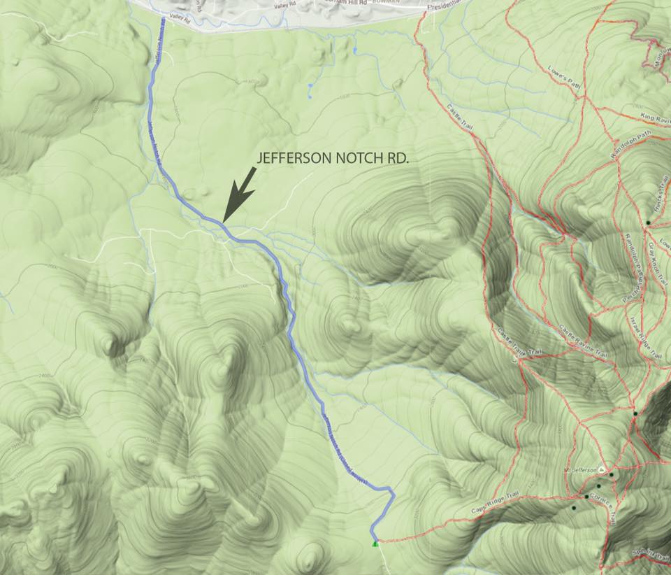 The first order of business is a long bumpy dirt road to the highest trailhead in the Whites.
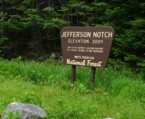 At 9am I arrive at el. 3009 ft to let my feet take it from here up to el. 5716 ft. via Caps Ridge. Today I am actually looking forward to the descent down Castle Trail over The Castles! Then maybe a less attractive but equally rugged trail will be closing the loop with The Link.
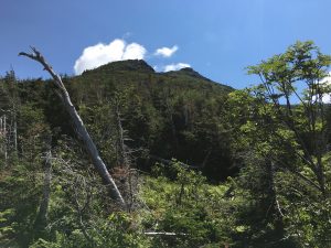
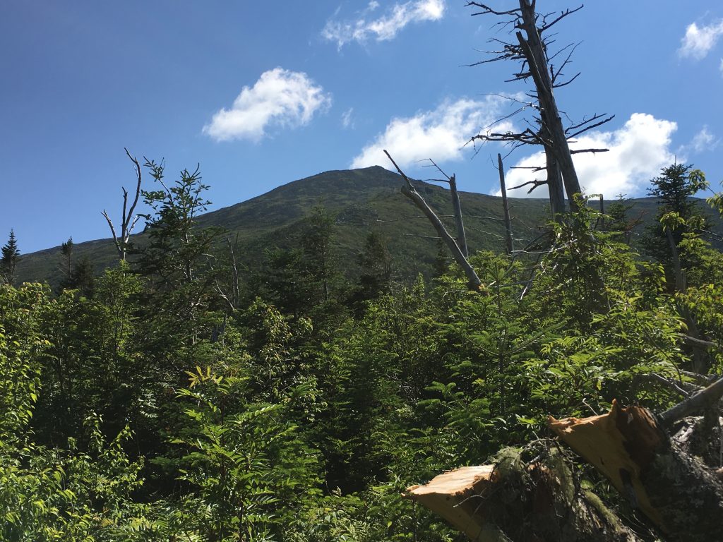 All this starts out as a typical trail in the Whites, but then a clearing and rock outcropping gives me my first peek at the peak and the task before me. Even with the nice weather I always get a little bit jacked up, and a tad nervous when I know I’ll have an extended above tree line journey. That’s a healthy thing I think. I feed off this nervous energy to help me up the mountain.
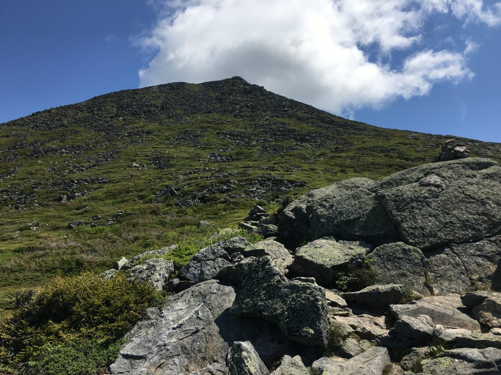
The trail becomes rockier now reminding me of the boulder fields that await me. A few more glimpses above the trees give me a closer look at the Caps and summit for my final stand above 5k on this round.
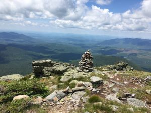
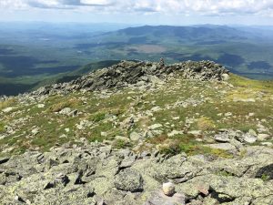
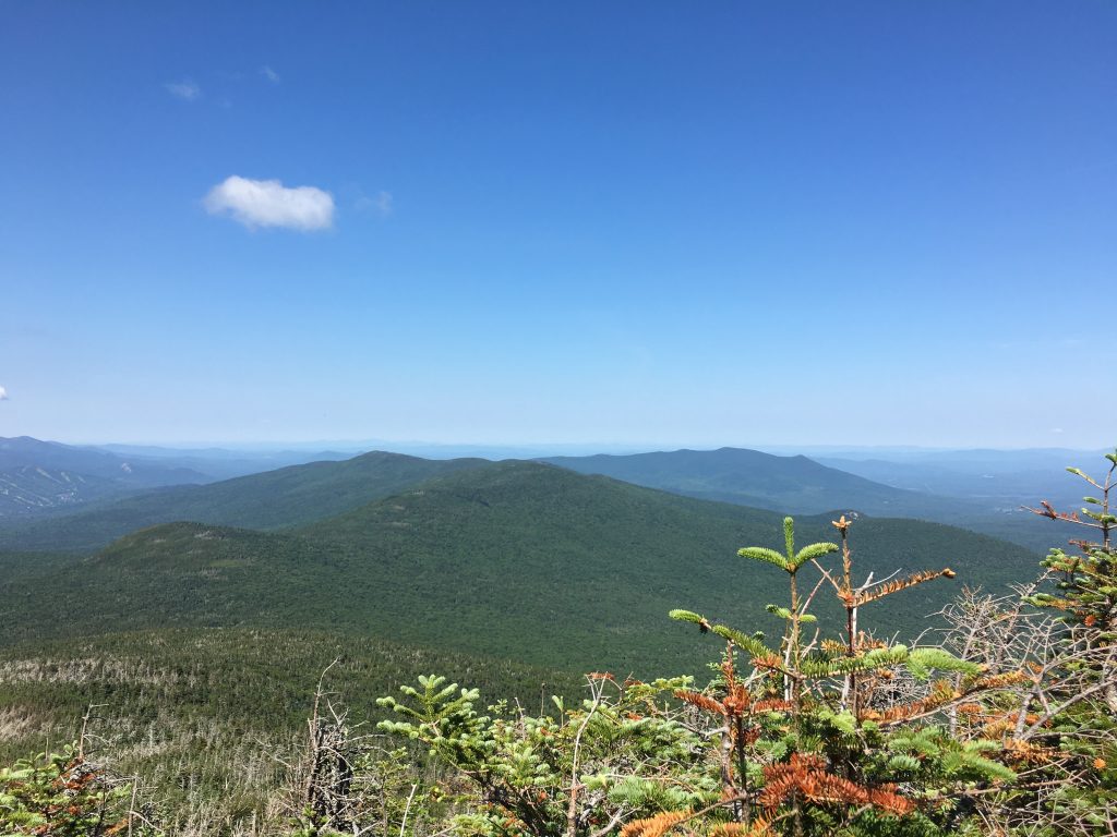 Just before the Link junction another open rock perch gives me my first wide angle view of the day, and once again it does not disappoint. It’s amazing how lucky I’ve been overall with the weather on this quest. Well, ok maybe a little bit of luck and a lot of careful planning, picking and choosing my windows, paints a more accurate picture.
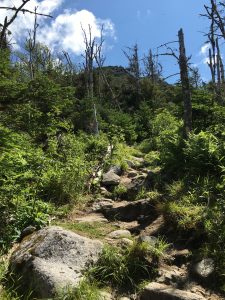
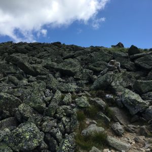
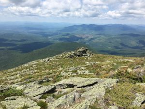
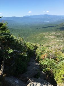 Going back to work for a few more miles the trees are getting shorter already, and the rocks are growing in numbers, as the views around me open up more and become increasingly impressive. That’s right forty-something peaks later I am still impressed with this land and all its immense sweeping displays. In no time at all, I find myself navigating the boulders of the upper slopes. Let the rock climbing begin!
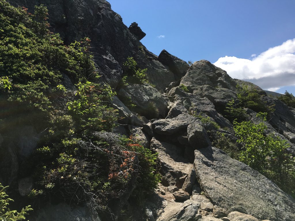 I will not be bored today (not that I ever am), between all the jagged contours that require a heightened awareness, and the scenes around me to divert my focus. I am purposely slowing down today, to avoid injury. Some hikes are more like a marathon, and some are more like an obstacle course. This is most certainly the latter, so will adjust accordingly.
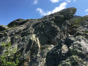
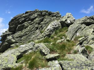
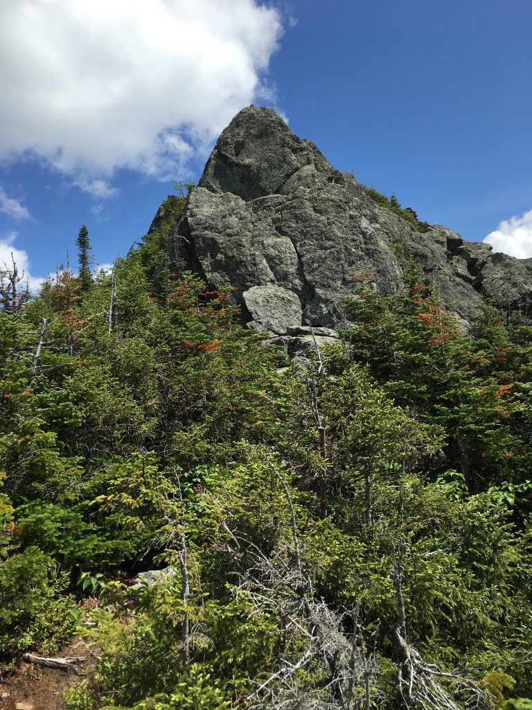
I switch off between poles and hands depending on the terrain, and pause wherever I can, keeping my head on a swivel. I notice one rock face that actually looks like a face. It’s Jimmy Durante “ha-cha-cha-cha” …it can happen to you if you’re young at heart “.

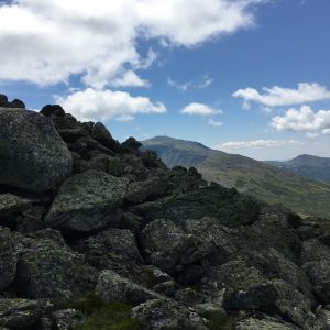
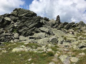
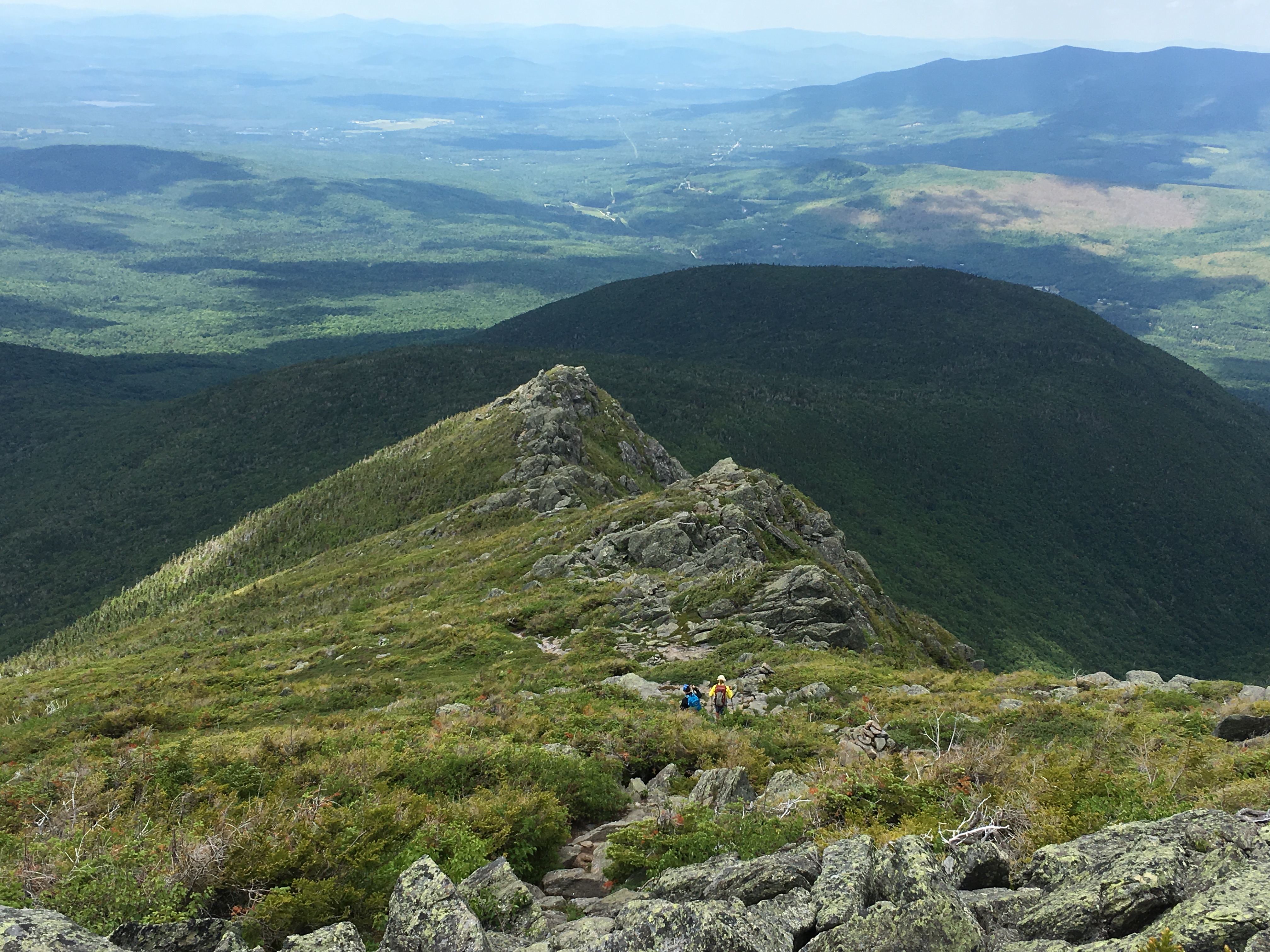
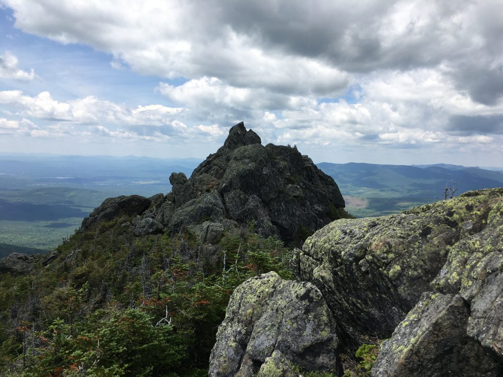
It’s such a fun climb up and over the Caps looking at all the rock formations. During a break I look over to my left to see The Castles for the first time. I usually dread the descent but today I can’t wait! 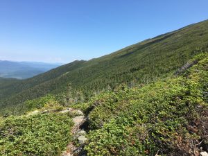
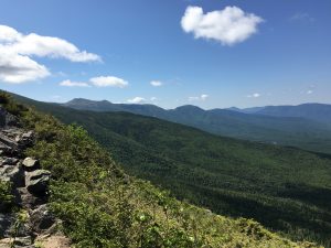 Then a look to my right reveals awesome views at my presidential neighbors. Memories of the days I visited them come flooding back, and I can feel the smile reach my ears.
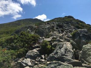
As I put a feather in my final Cap, I set my sights on the prize and I’m ready to “get high” so to speak – 5,712 ft to be exact. 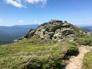
With a look back and a wave to the Caps I set out on my final mission of this patriotic weekend in my red white and blue. It’s summit or bust!
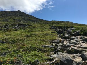

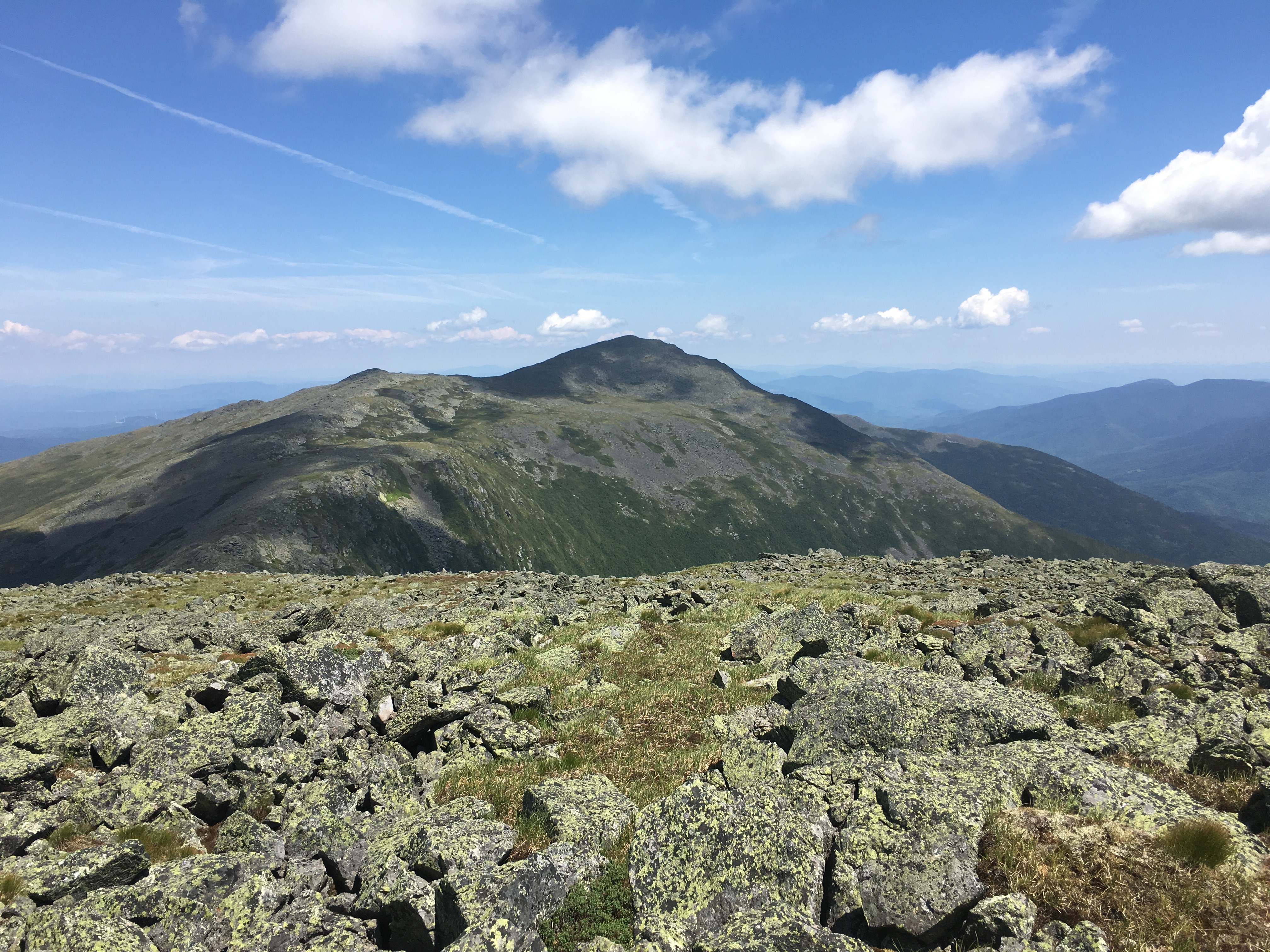
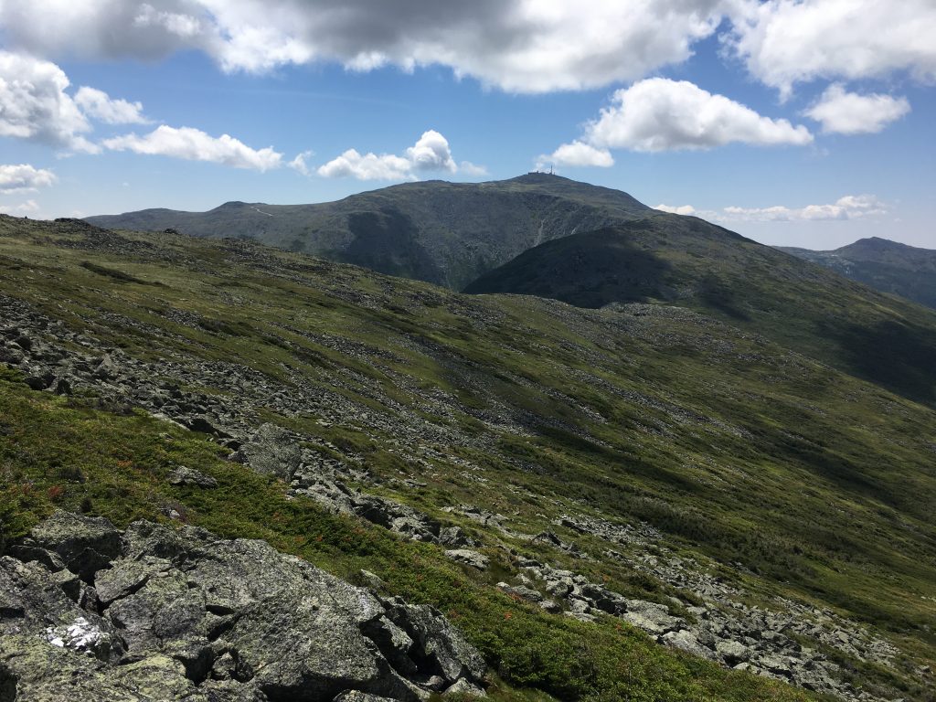 Washington and great gulf are coming into view clear as day, and I am so glad I waited until today to take this on. The wind gusts are strong. So I can only imagine what they would have been earlier in the weekend.
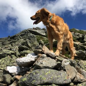 As I make my way closer, and now sitting on a rock for a hydration break, a friendly canine hiker approaches my side and lets me pet her for a while. It’s a golden, a breed I am very partial to. There have been a few of these dogs in my family over the years: Samson in my high school years, followed by my brother’s dog Wilson, and now my sister’s Simba. I think this one somehow sensed that I understood her. Her owner follows and we make chit-chat for a few minutes then each press onto the summit. This Golden seemed to take me in as part of her group. As she confidently makes her way, totally at ease with the task, from marker to marker (it’s amazing how they know where to go), she looks back periodically to make sure I’m ok and that her owner is following. We have a chuckle over this and go through the rest of the climb playing leapfrog, separating for a while and then joining paths once more.
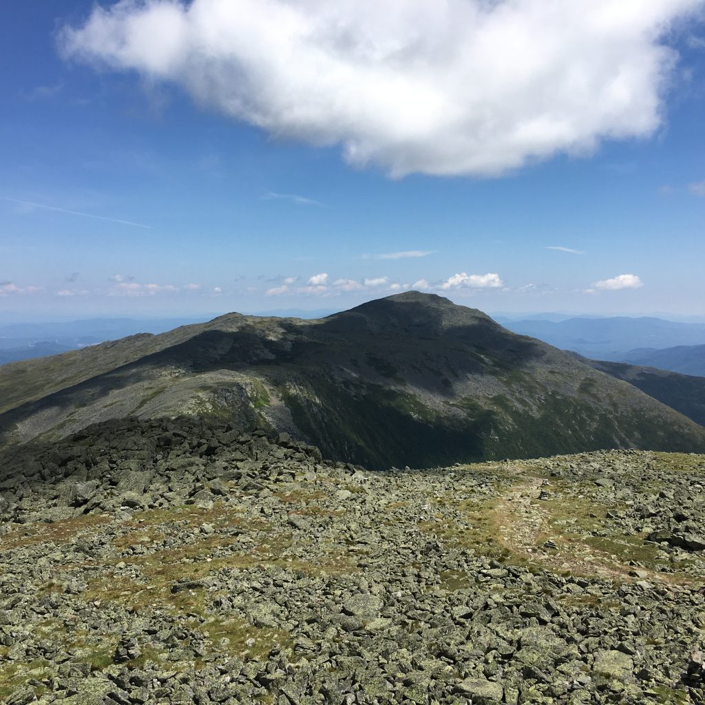
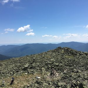
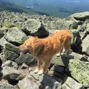 We all arrive to the summit together and then part ways for good to each claim a spot amongst the busy rocky apex for some solitary time with the mountain over a bite to eat. There is a cluster of folks snapping summit photos now, so I save mine for after lunch, enjoying the 360 vistas in a quieter zone in the fields of boulders.
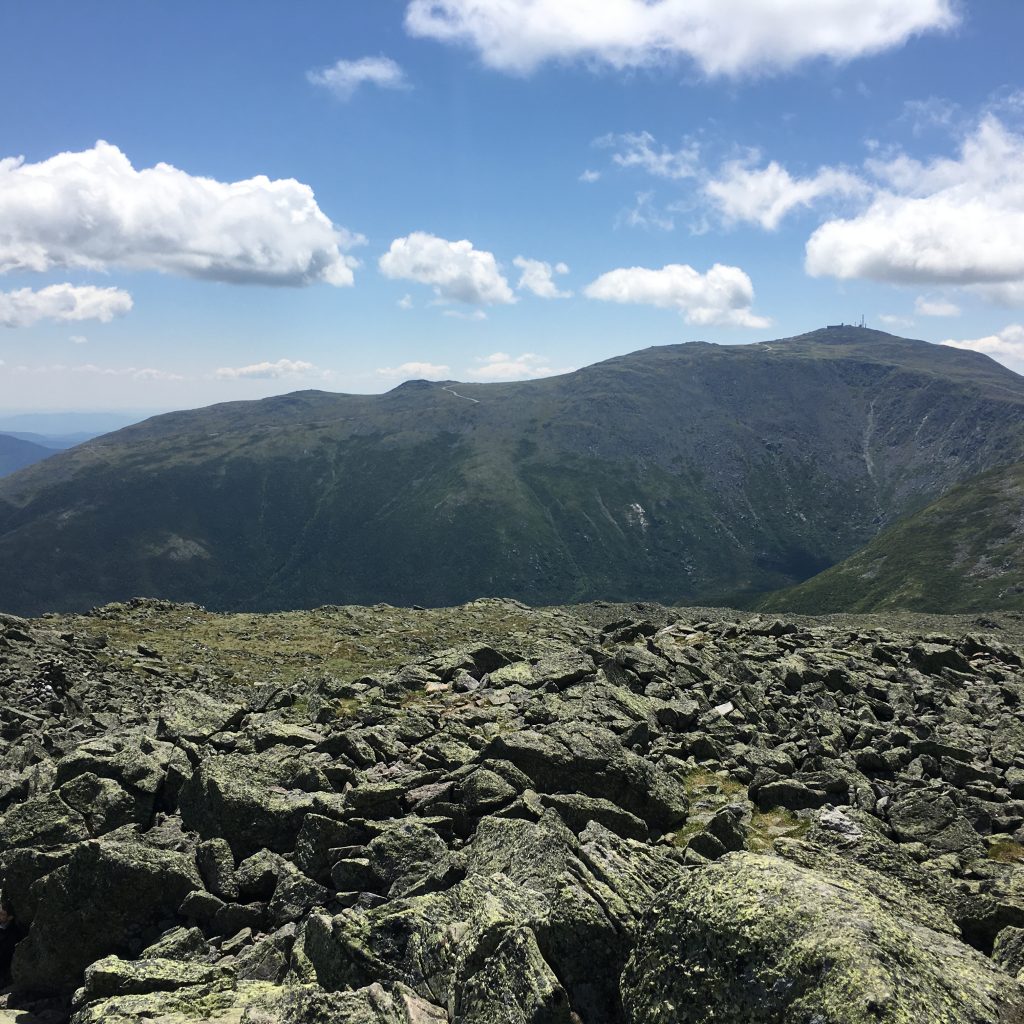 The sights over to Washington and the great gulf are outstanding! I can make out the auto road and can hear the whistle of the Cog in the distance. I have enjoyed “The Rockpile” much better from a distance than I did on my halfway mark hike last summer.
A short distance away is the lush Monticello Lawn, which is part of a 1-mile scenic loop option around the southern portions of Jefferson’s summit. I had thought about including this today, but I think I will just stick to my original loop plan.
Also in view between me and Washington in Sphinx Col and Mt Clay, something I will get to experience closer when I do my Presi-traverse, whenever that may be.  This is one of those extended summit visits today, lingering longer than most.
So much to see here on such a nice day, I never wanna leave my happy place, but alas more adventures await so I gather myself and press on. But wait! Almost forgot the mandatory summit pose. The area is less populated now so I shoot back to the top and get someone to snap a photo. Now onto those Castles!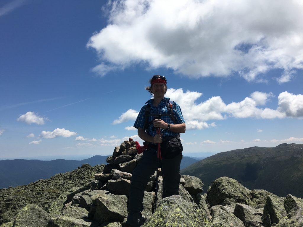
(click here for Video of Jefferson Summit)
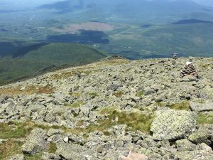
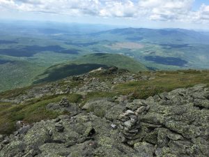 Quartz capped cairns lead the way down the ridge to these formations. There seems to be only a few folks heading down this way, so I have the area to myself for the most part. Slow going but my knees are holding up well so far.
 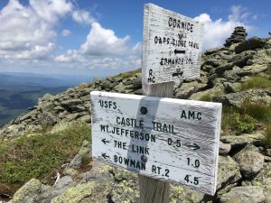 Crossing the Cornice trail, the most interesting 1-mile stretch is coming up (or down) before I get to The Link, but I’m just taking it one cairn at a time and enjoying my surroundings on this spectacular Independence Day, with a hefty wind blowing to the Northeast.
There is one other duo of hikers approaching behind me, as I am faced with a dramatic photo op of the Castellated Ridge, and I let them pass as I hang back for a while so that I can get some scale to the scene. It’s not every day you get treated to such an extended above alpine visit so I am taking my time getting back to the trees. 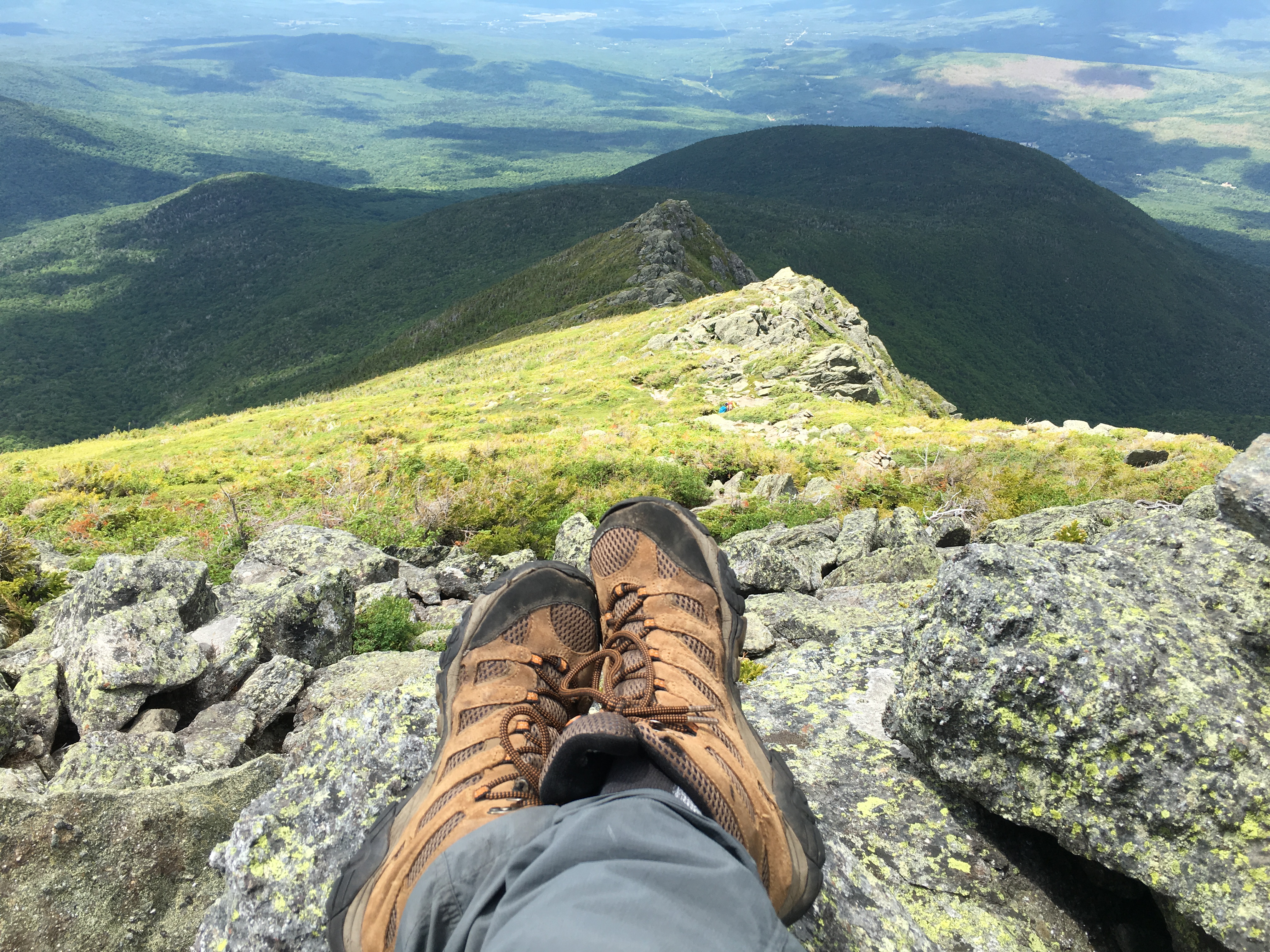 The shadows dance and the shapes transform as I travel down the ridge.
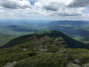
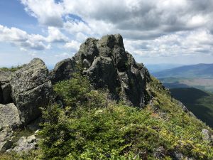 Equally impressive views behind me as I pass each of these Castles. Did I mention that I love this place? Yes, I’m quite certain I alluded to that a few times. I’m sure my knees will be screaming later, but nature has its own pain killer as you take it all in – the sights, the sounds, the smells, the textures and the feeling of being on top of the world.
(click here for video of Castles)
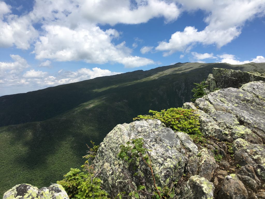 I pass the final Castle and get a look to my right at Emerald Bluff and the Adams family. I look back and wave goodbye to the Castles before plunging back into the trees.
 I approach a trail junction and although I can’t say I approve of defacing trail signs, I also can’t say I disagree with the sentiment of whoever did it.
 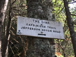 The Link was a brutal stretch of trail, especially for supposedly being around the same elevation for the 1.6 miles leading back to Caps Ridge Trail.
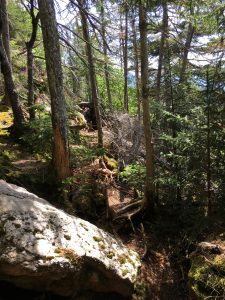
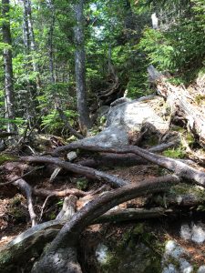
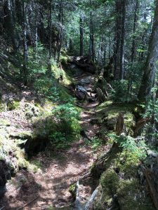
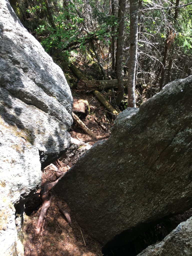
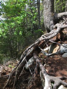 For the next 2 hours I contort my body around a constant barrage of obstacles, up-over-around-through rocks, roots, humps, ruts, gaps, and tight spots. At one point I basically had to hump a large rock to get around it – You’re welcome Rock.
  A brief break in the action came about halfway along the trail at a stream crossing and clearing. I stopped here to refill my water supply and submerge my feet for a well-deserved cool down.
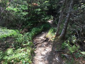
Then It was back to the slow painful obstacle course, until I eventually reached my final turn for some relief on easier terrain.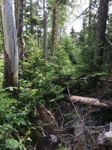

 img_5473
 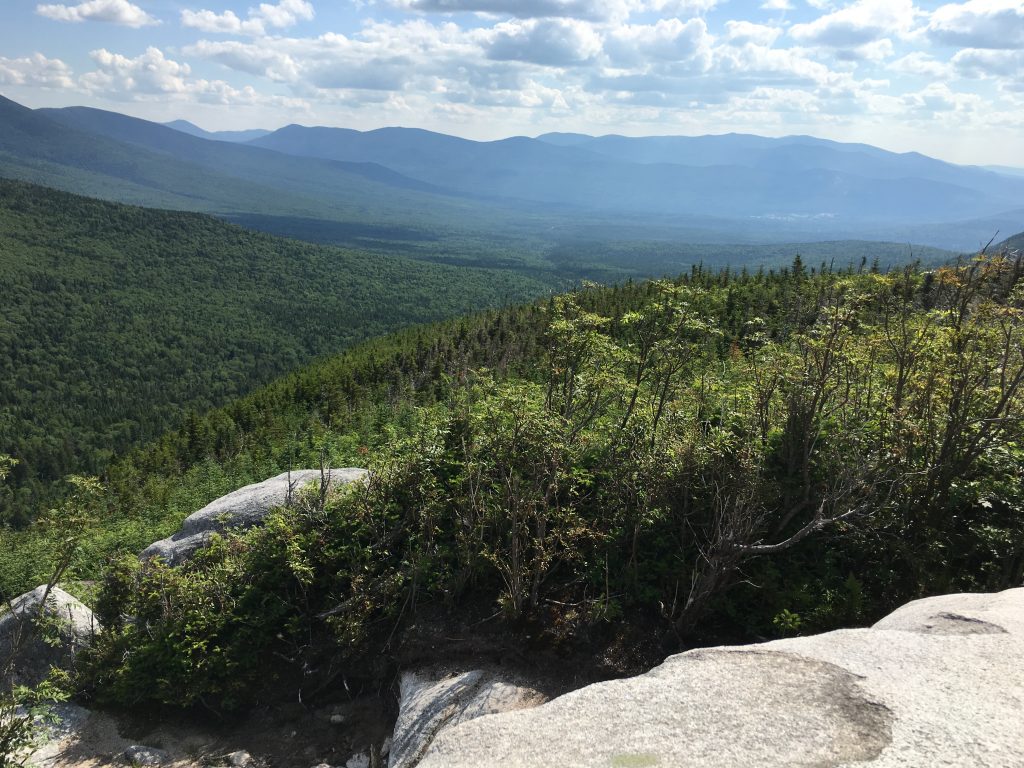 I reach my perch once again and enjoy one final view while my sweat drenched shirt dries out in the breeze. Another spectacular summer hike in the books. 2 more left baby!!!
 And now for some manmade heaven in a bottle, then back down the narrow bumpy road heading south toward base road (home of Ammo, Jewell, and Cog) and then 302, a stop at a picnic area to finish up my burgers and clean out the cooler, then cruise control along an amazing sunset (of which a didn’t get any pics but im sure you saw it too)…

