Pemigewasset Wilderness
(Owl’s Head-42)
INTRODUCTION: It had been gnawing at me for quite long enough. Almost 2 years in fact, back when I first got the bug and was researching all that is involved in completing this list. For I while now, I had been reading about how so many dread this hike and put it off for their very last peak. As I went through my journey I would see time and time again accounts of people being either disappointed or downright tormented by this long trek through the wilderness, and left with not a single fond memory of it- many of which took several attempts in completing. On the other hand, there were those who had a fondness of this remote peak, and for seemingly good reason. True it is a grueling 18-mile slog through unforgiving terrain and unmaintained trails (and non-trail routes). True it tests your limits in every way imaginable. True its summit is void of any grand views that are so often found in these mountains. True there are bushwhacks, potentially dangerous water crossings, unstable steep rock slides, miles of unrelenting straight flat monotony, all leading to nothing but a wooded summit marked by a simple cairn. True it is for all intents and purposes nothing more than a long walk in the woods… So what’s not to like? Enough speculation – It was time I found out for myself. What I would find out was that this is more like 3 hikes in one!!
PART 1- TRACKS & WHACKS, BEYOND THE MAX:
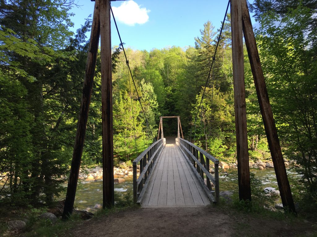
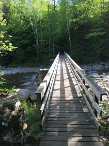
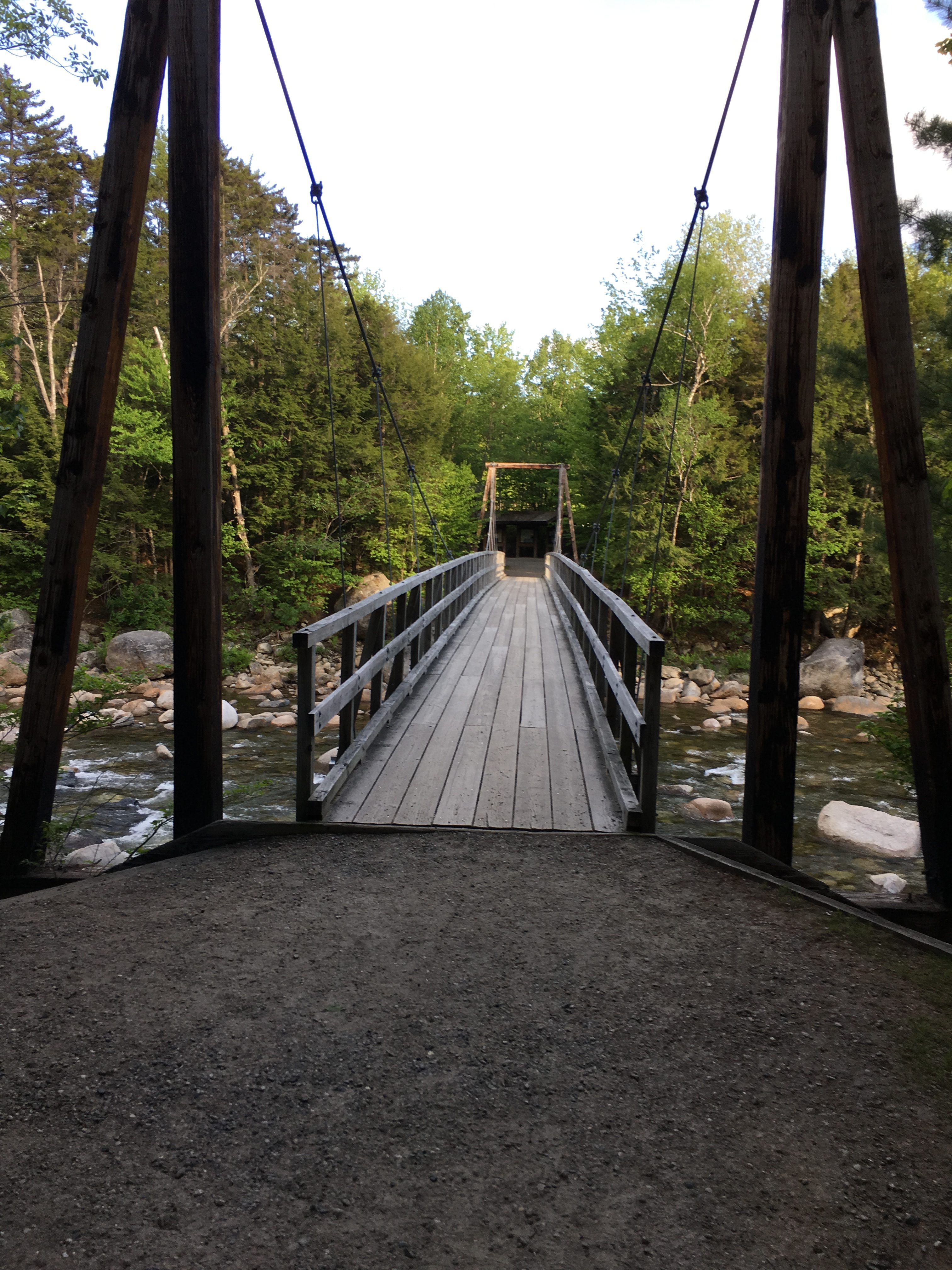
The day started at 7am as I set foot on the bridge crossing the Pemi from the Lincoln Woods Visitors Center. I drove up yesterday afternoon on the Tuesday following Memorial Day weekend, and snagged a campsite along the river at Hancock campground just a short distance down the Kanc from my start point. I had been building this up in my head over the winter as something I want to attempt as soon as the good weather and favorable conditions arrived. Well they were finally here this weekend. A long spring ice season had kept me away from the Whites, but I finally returned on Saturday to do my first hike of the regular season – a three peak traverse of Galehead and the Twins. Now I was in the groove once again and I did NOT want to save this for one of my last of the 48. I had already put off Owlie more times than I can count. The time for excuses is done. I have psyched myself up for this and have wrapped my head around everything I will need to overcome in order to succeed.
At the current moment that means cruising through this first section of trail at a quick pace to get to the challenging sections sooner than later giving myself the whole day to make it there and back before dark. Of course, I am prepared as always with enough gear to spend an unexpected night in the woods if need be – albeit a less than cozy one. I have not had to use my emergency camp gear yet but if there is one hike where I will need it, I expect this is the one. Still I will do what is in my power to prevent that situation. For one, I am paying extra attention to checkpoints, timing and mileage today, more than I normally would. Up until now an epic full day hike has meant 13 or 14 miles at the most, and this will be 18 miles, so there’s my first challenge. I must stick to my maximum turnaround point today and make note on what times certain destinations were reached. I’d like to say that failure is not an option, but it always is in the mountains. For now, my mind is set to make this a successful journey though, without having the need to return (unless I want to).
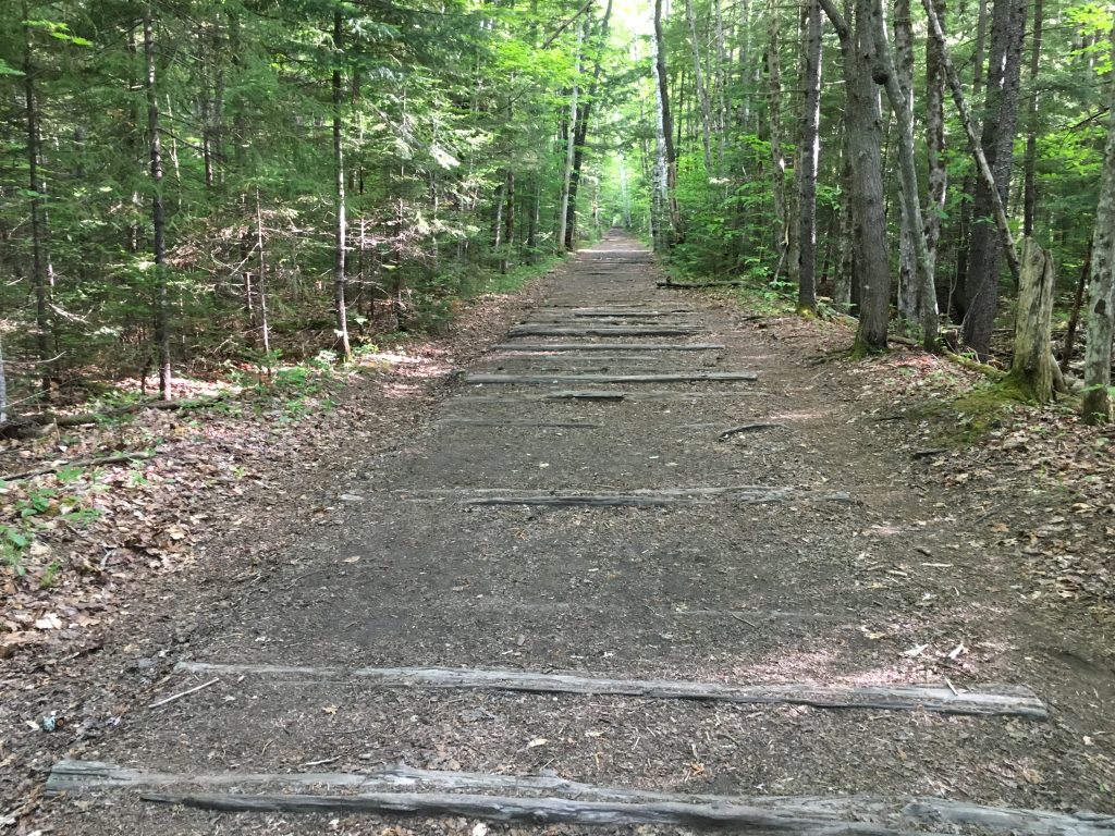
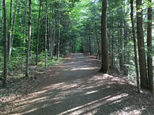
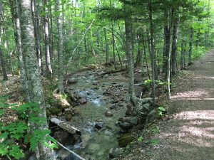
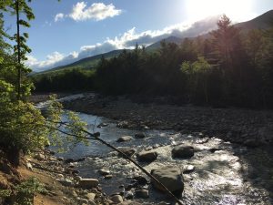
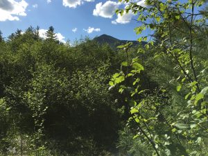
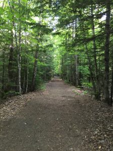
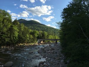
The first 3 miles along the Lincoln Woods Trail are a long straight and flat railroad grade. I am doing my best to notice whatever comes up as a distraction from this like the Pemi and Mt Hitchcock to the right and small streams to the left,
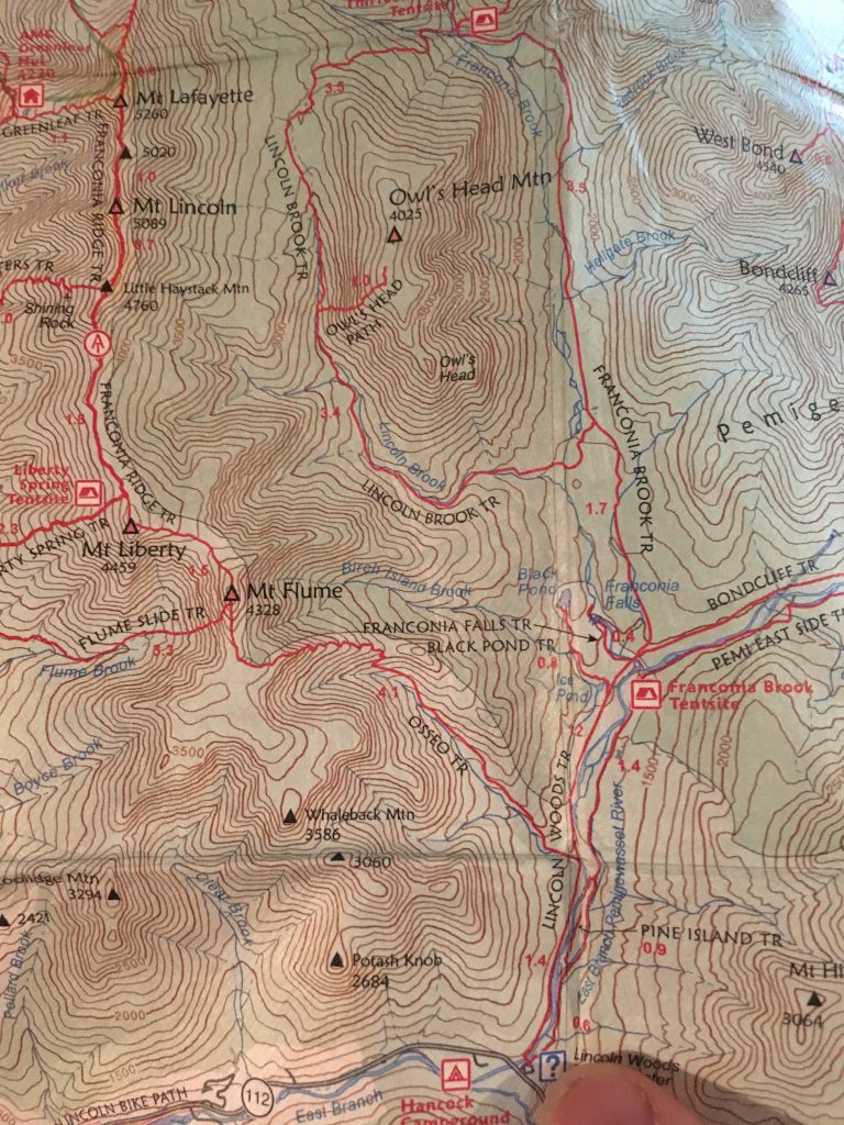
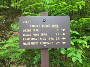
but being careful not to stop and admire these things causing me to slow my pace. I say 3 miles, but my turnoff will come at 2.6 miles – Black Pond Trail. I am taking this route to avoid the 2 major water crossings. I must admit, they have been causing me some anxiety. After all, who wants to be washed away by a powerful river current? Drowning could wreck your whole day! I have been paying close attention to the most current water levels posted by USGS, and they are actually fairly low right now, so that’s a plus. I have been studying techniques for fording rivers safely and effectively – knowledge is power, right?

Yet they still concern me, as I have never had to cross a major river yet. So I am playing it “safe” and taking the Black Pond bushwhack. That’s right, I said BUSHWHACK – something else I have not had to do much of, although I have taken a one-day navigation class and have studied the concepts and practiced a little bit on shorter trail systems. Besides from the sounds of it, this route is taken so frequently that there is a herd path to follow. Also, there is a clear baseline northbound of the pond to shoot for in the Lincoln Brook, so Black Pond it is. I bang a left and start out for the pond at 7:45am.
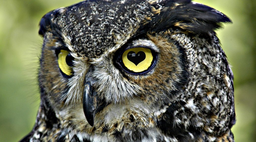
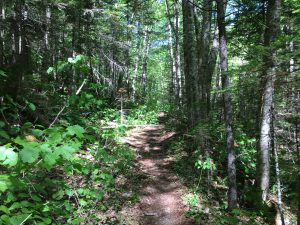
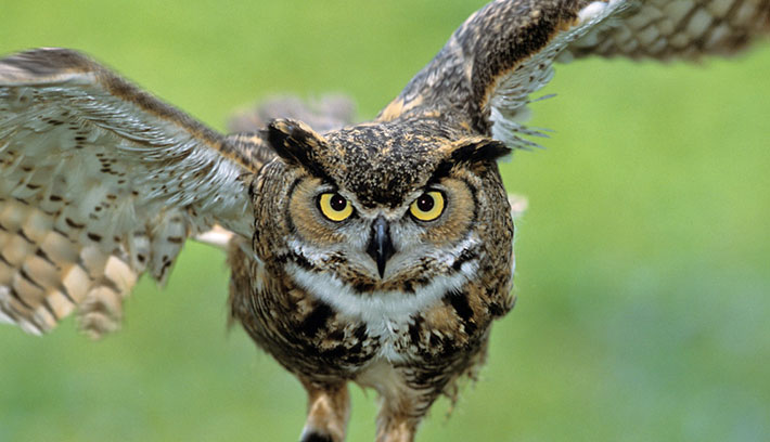
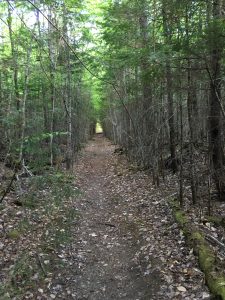
The trail to the pond is more pleasant and interesting than the first bit, more trail-like and less railroad-like. Here I start to really feel the solitude. Not a sign of any holiday crowds, or a single soul for that matter. They have all stepped aside and left me and the owl to settle the score.
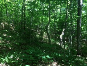
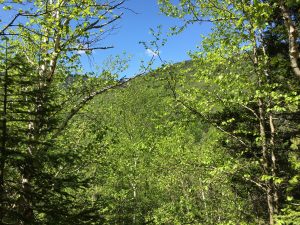
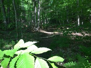 The morning sunlight sparkles through the canopy and sounds of the birds and critters surround me as the gentle path meanders around the trees. I reach the south shore of Black Pond just after 8am and get my first glimpse of the southern face and spire of Owlie.
I look around and acknowledge the peaceful calm of this place, but am careful not to linger too long. There are still many miles to cover and obstacles to overcome. 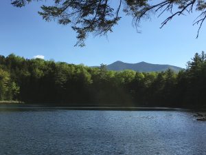
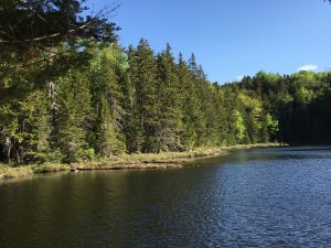
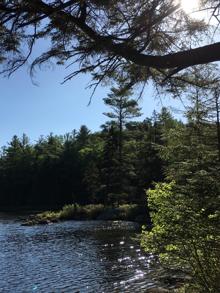
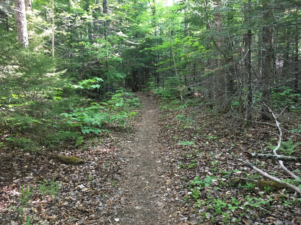
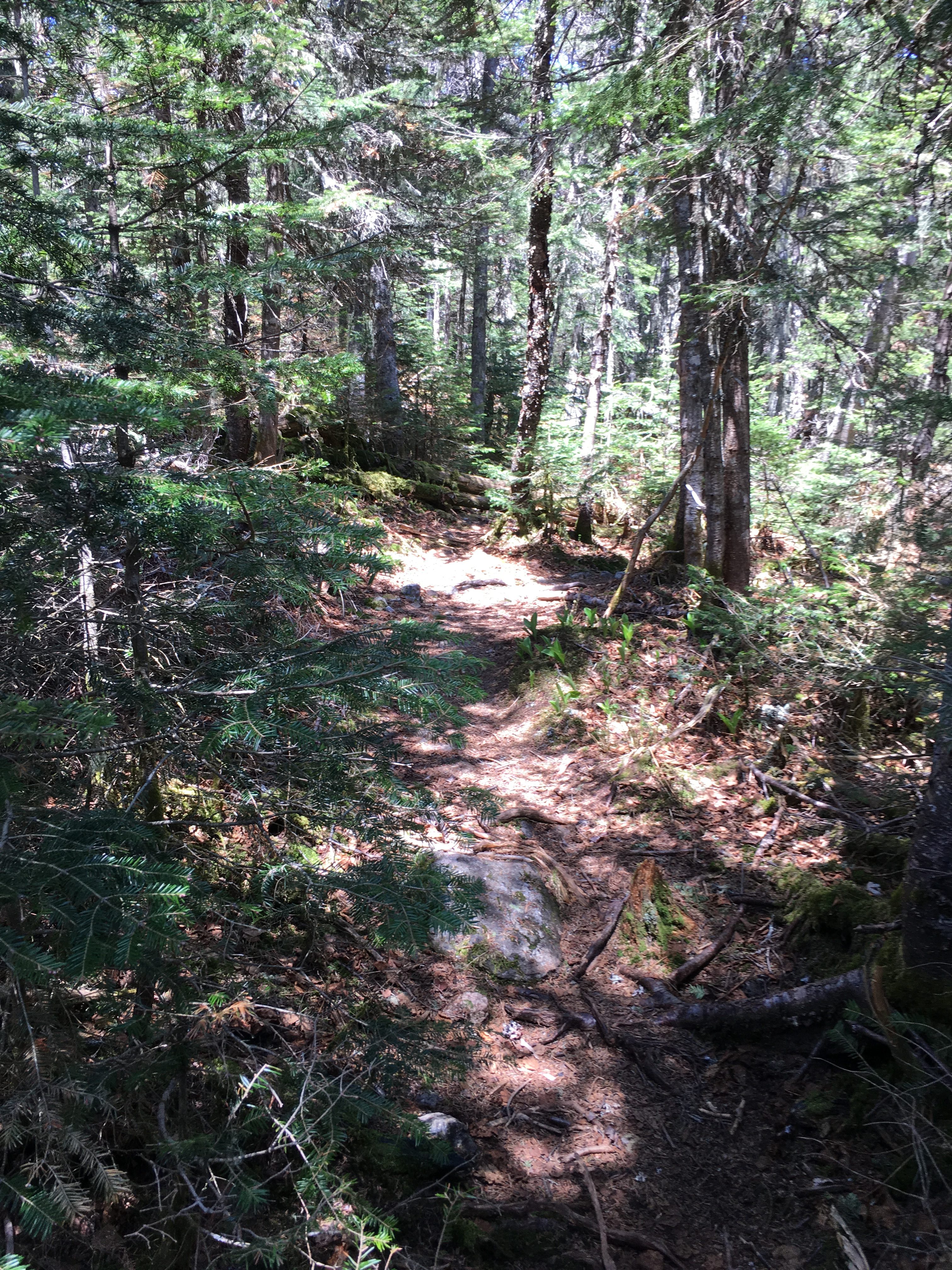
I continue to follow the trail clockwise around the west shore of the pond to where there is a view of the neighboring Bonds just before the trail terminates and merges into the herd path left from the many winter travelers of this area. 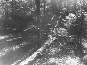 A spooky spider web marks the start of the whack – perhaps a good omen, or perhaps not so much – we shall see. At first this path is very much like a trail minus the blazes, but quickly becomes more difficult to follow as I continue to clear the cobwebs from my face and read the forest floor for matted down leaves, and cut broken or gouged downed trees and brush as well as the visible footprints in the many patches of mud.
Before too long I reach a point where the path is nonexistent. Uh-oh… I backtrack my steps to a spot where I was fairly certain I was on the path and try to read the area for where it may have turned off, only I am not seeing anything obvious or even any subtle signs leading my way. 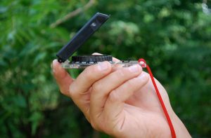 So I break out the compass and find my North bearing keeping in mind the 15-degree magnetic declination. There is a margin of error I have working in my favor since my target is a baseline running West to East perpendicular to my path of travel.
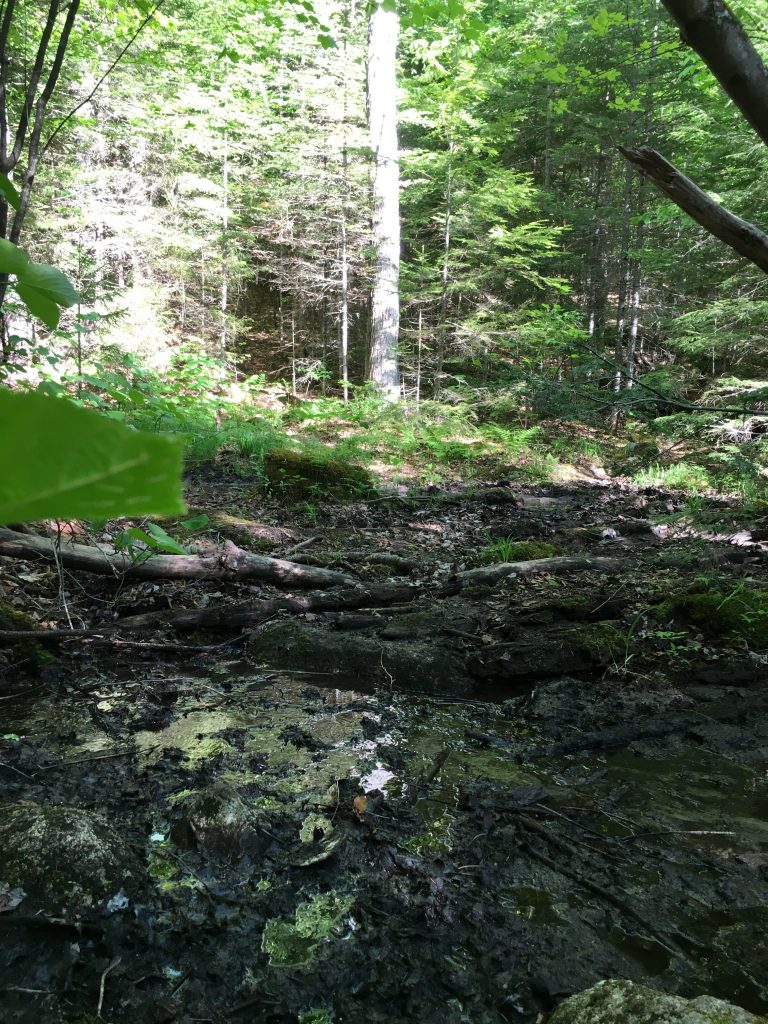
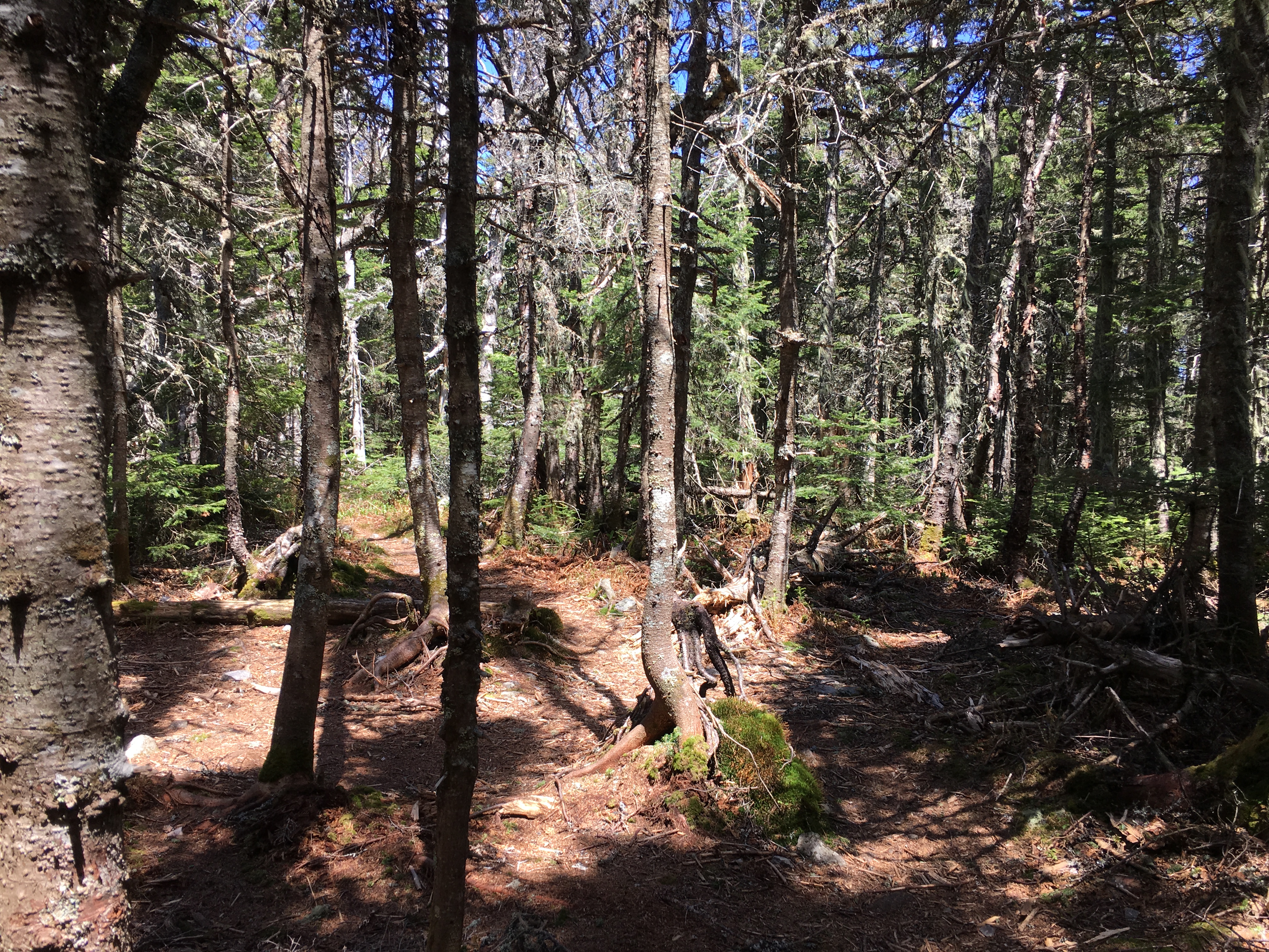
 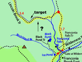 So over the next 2 hours or so I continue to pick my route in short increments through sometimes dense vegetation, branches, swampy areas, dips, bumps, hills, ruts, downed trees, and other obstacles. The canopy is thick and there is less sun lighted areas.
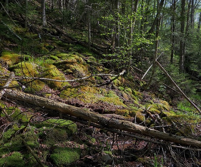
The sounds of wildlife all around me now take on an unfamiliar and unsettling tone. I make sure my knife is within quick reach just in case and I am keeping one eye in the back of my head. A few anxious moments follow but I keep a level head knowing that I am probably within a mile from my target and I slowly creep my way closer and closer with constant compass readings.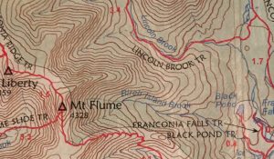 I am also reading the contours of the map and trying to translate to land features before me. One other thing I am doing is stopping every so often when the wind is still, and listening for the sound of running water. I have not taken an exact bearing in this case, given the size of my target, and I am simply seeing magnetic North and compensating just a bit to the east for declination, but not the full 15 degrees as drifting a bit to the west would be a good thing taking me further upstream and that much closer to my destination. However, I don’t want to drift too far west and start climbing the east slope of Liberty (I’d like to think I would notice a mistake like that) In any case it is a balancing act with the land that requires my undivided attention. The last thing on my mind during this whole section of the trip is to break out the camera, so consequently there are no photos to show for my efforts. I know that even if I somehow end up lost, turning back south and trying to shoot for Black Pond would be far more difficult than shooting for the river. So I am patient with myself and keep faith in what I know about navigation and reading the landscape as I slowly and deliberately inch onward through the brush. After a while I come to a stop and ringing in my ears is the very thing I had hoped to encounter – the sound of running water – music to my ears. I begin travelling toward this sound as it grows louder and louder until finally
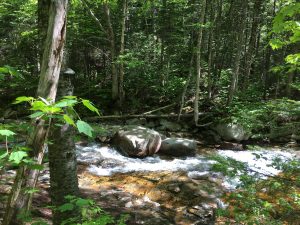
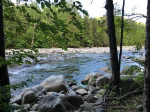
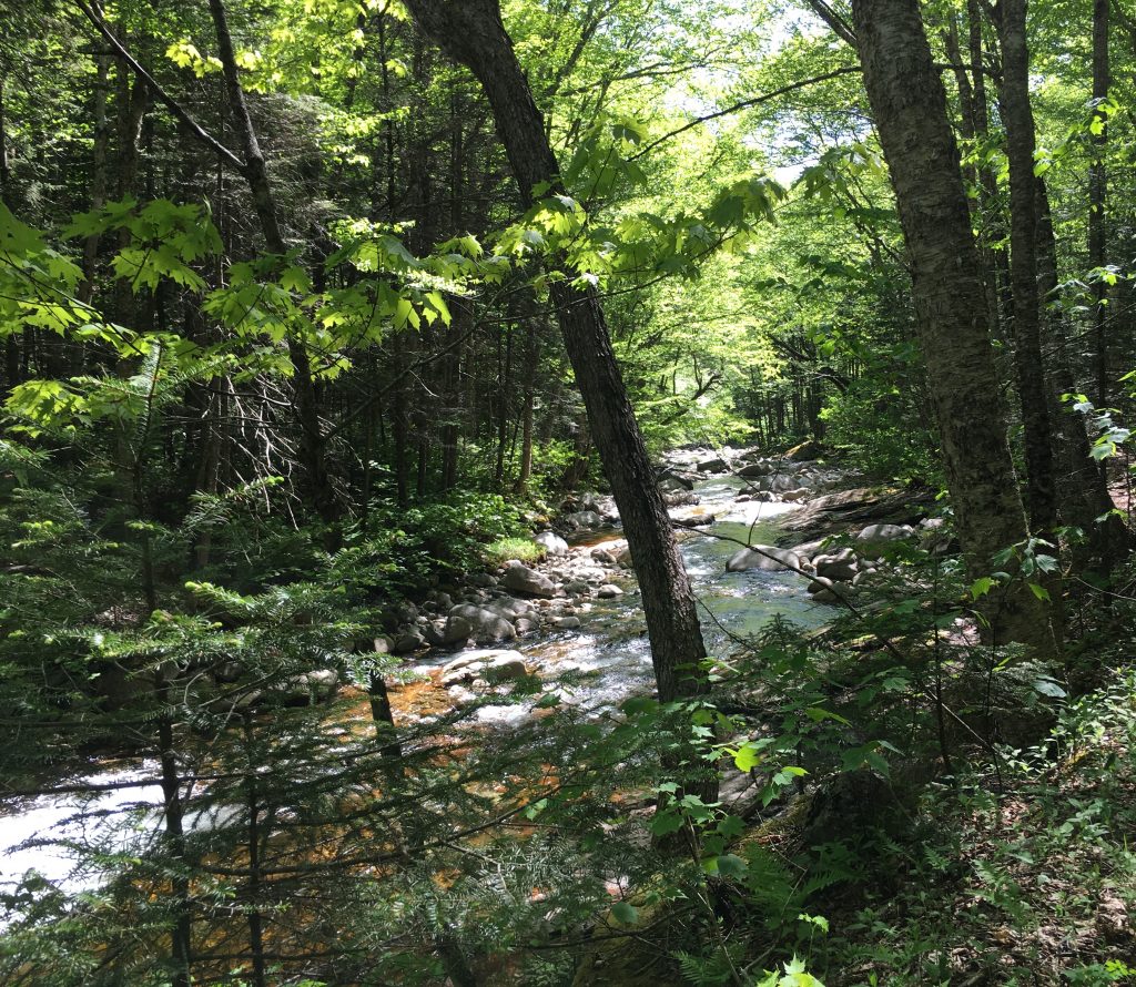 the gushing brook is before me! What a relief! Only as I survey the area, there is one thing clearly missing from this picture. I knew the trail to travel on the south/southwest bank of the river after the major crossings but it was not here. I found a rocky area to cross, while still in my boots to see if I could locate it on the other side. Maybe I had drifted farther east than I expected. There is a natural tendency to do that. To my disappointment there was no trail on the North bank either, but it did seem as though there was another brook merging from the north which told me that I had most likely indeed drifted to where the Franconia joined the Lincoln.
So I decided the best thing to do would be to cross back and follow the Lincoln upstream in hopes that my trail would emerge.
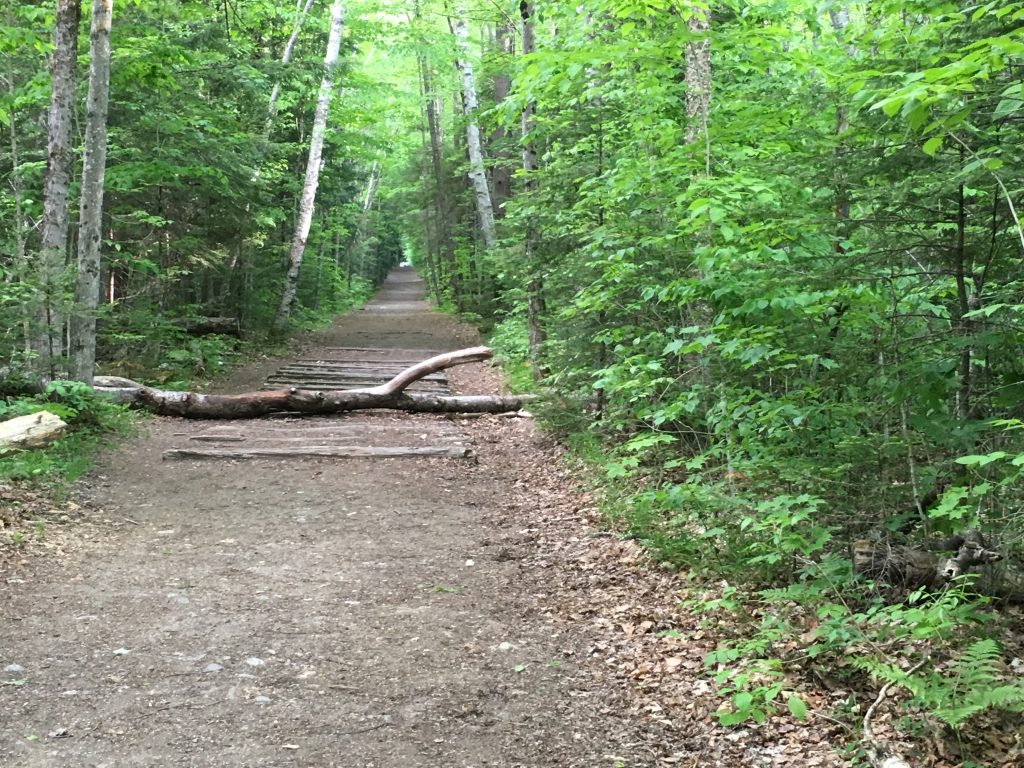
Well my re-crossing must have taken a slightly different heading because low and behold, there before me the unmistakable worn path and strategic log placements that could only mean one thing – TRAIL!! SWEET TRAIL!!!!! 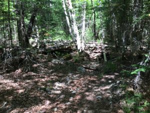
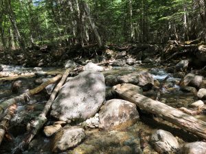
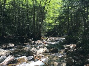
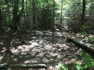 The next few miles went at a considerably faster pace as moving through the forest on trail is so much easier. Having been so focused on my little bushwhack ordeal, I was ignoring the hunger pains that were creeping in toward the end of it, and I grabbed a hefty snack now to compensate, and refuel for the remainder of the inbound journey. Rock hopping a few smaller streams along the way, and continuing along the West bank of the brook traveling north upstream, I was continuing to make note of checkpoints and time.
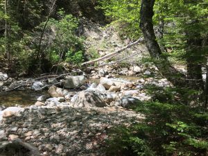
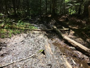
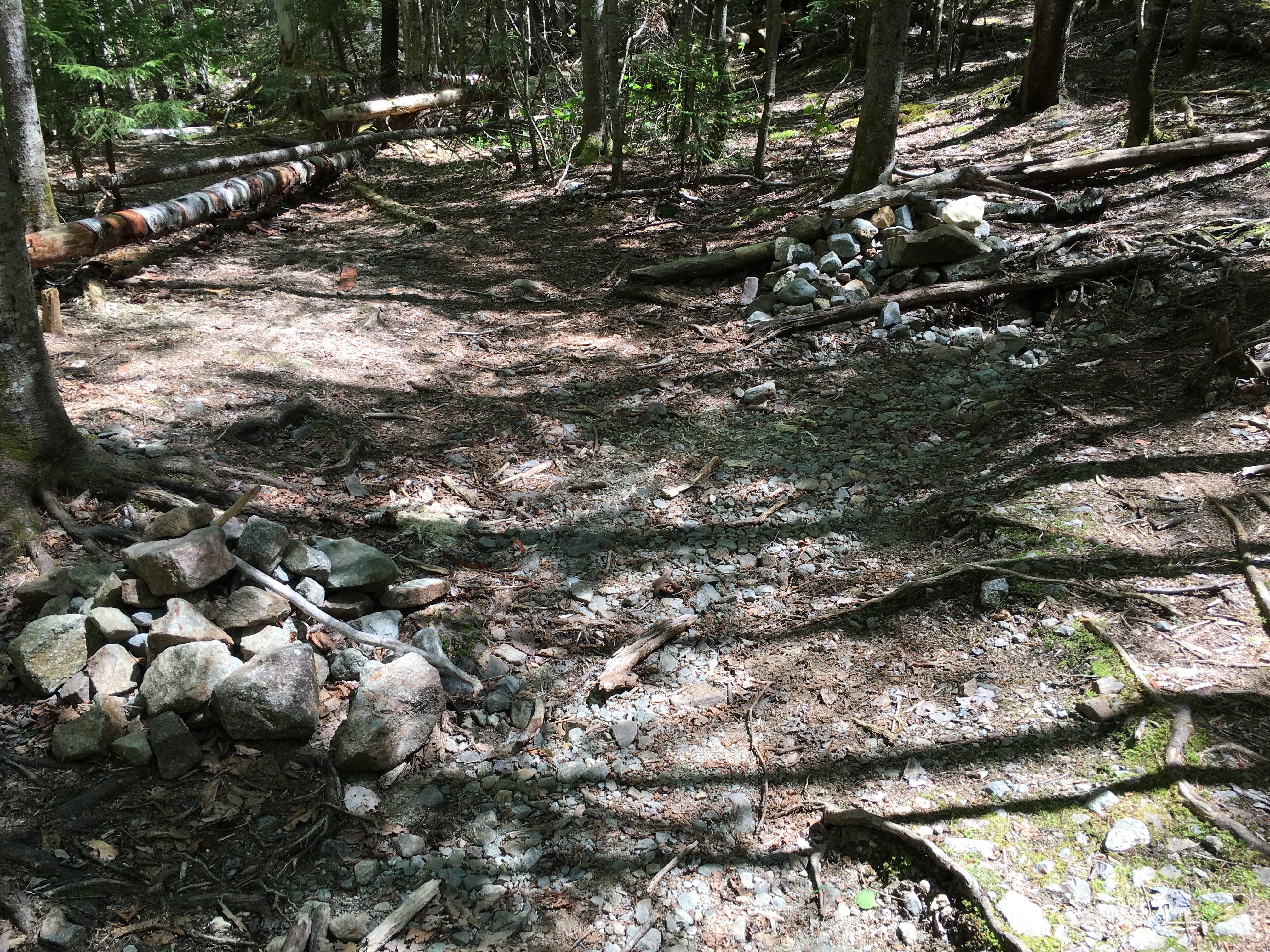
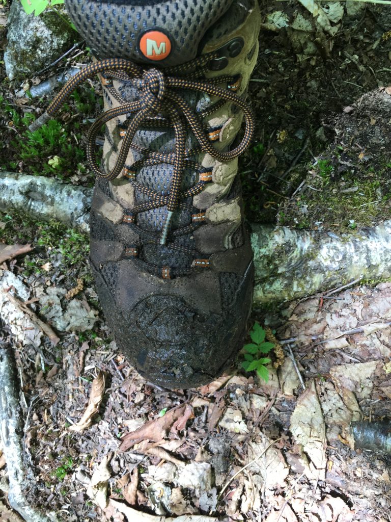 I could feel the squishing of water in my boots from my premature water crossing earlier and the hours of trudging through the muck, but I was ignoring this for the time being until the upcoming switch over to the east bank was over with. Keeping a sharp eye out for this junction, I was considering the possibility that the turnoff for the start of Owl’s Head Path might not be marked, as the two small cairns and logs that mark this point are sometimes removed by rangers patrolling the area. This being a wilderness protected area, regulations state that that trails are to remain unmaintained and unmarked, so the markings are known to be dismantled regularly, and then reconstructed by hikers. As I weigh this information into my plan, I decide that if I am not on my way up the slide by 1:00, I will be doing an about face and turn back to my starting point and try again another day. The last thing I want to do it try to maneuver through these unmarked trails in the dark. Then just as I made this decision the path turned to the bank of the brook and revealed itself on the other side.
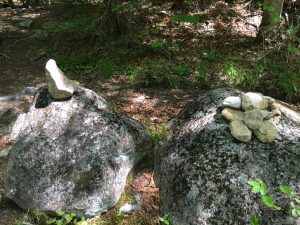
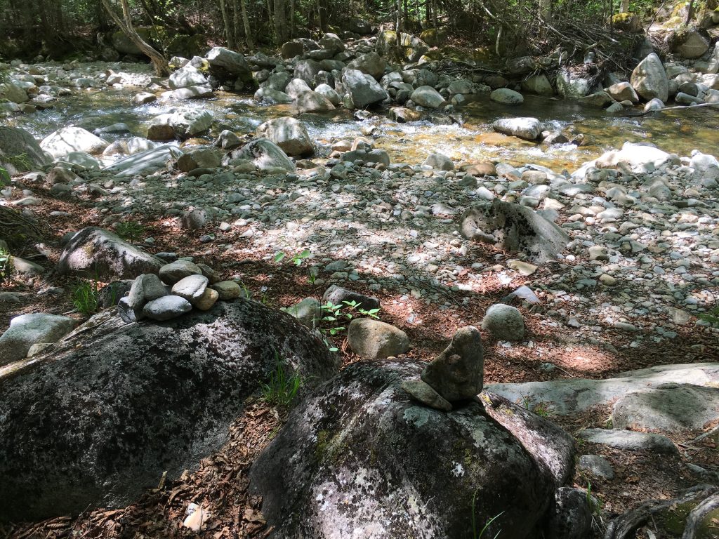 I hopped over on the rocks, changed out my soaked socks, and dried out my boots as best as possible, then continued my long journey. I noticed a few nice camp spots on my way to trying to find the turnoff for the owl’s head slide, and it occurred to me that if things end up running behind schedule, or my energy reserves are prematurely depleted, I could always break out my emergency camp gear and spend the night at one of these spots.
 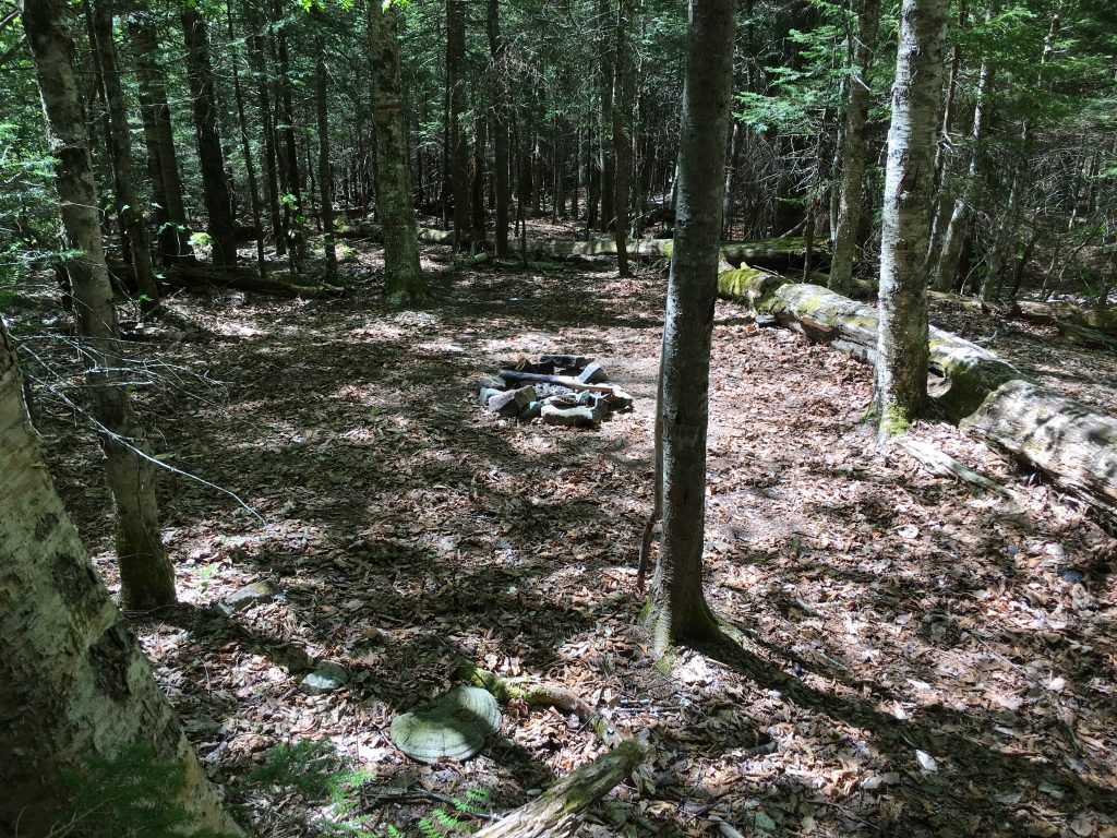 Just as I was running through these options in my head, a promising sign was revealed. The trail was starting to get a different look to it, as previously unseen gray rock was introduced indicating something new was ahead.
…and then there it was. YES! I had found it and with plenty of time left in the day – there stood intact the two small cairns that marked the 2nd stage of my journey. Here we go, let the climbing begin!!
PART 2 – CRUMBLIN, FUMBLIN, MUMBLIN, TUMBLIN:
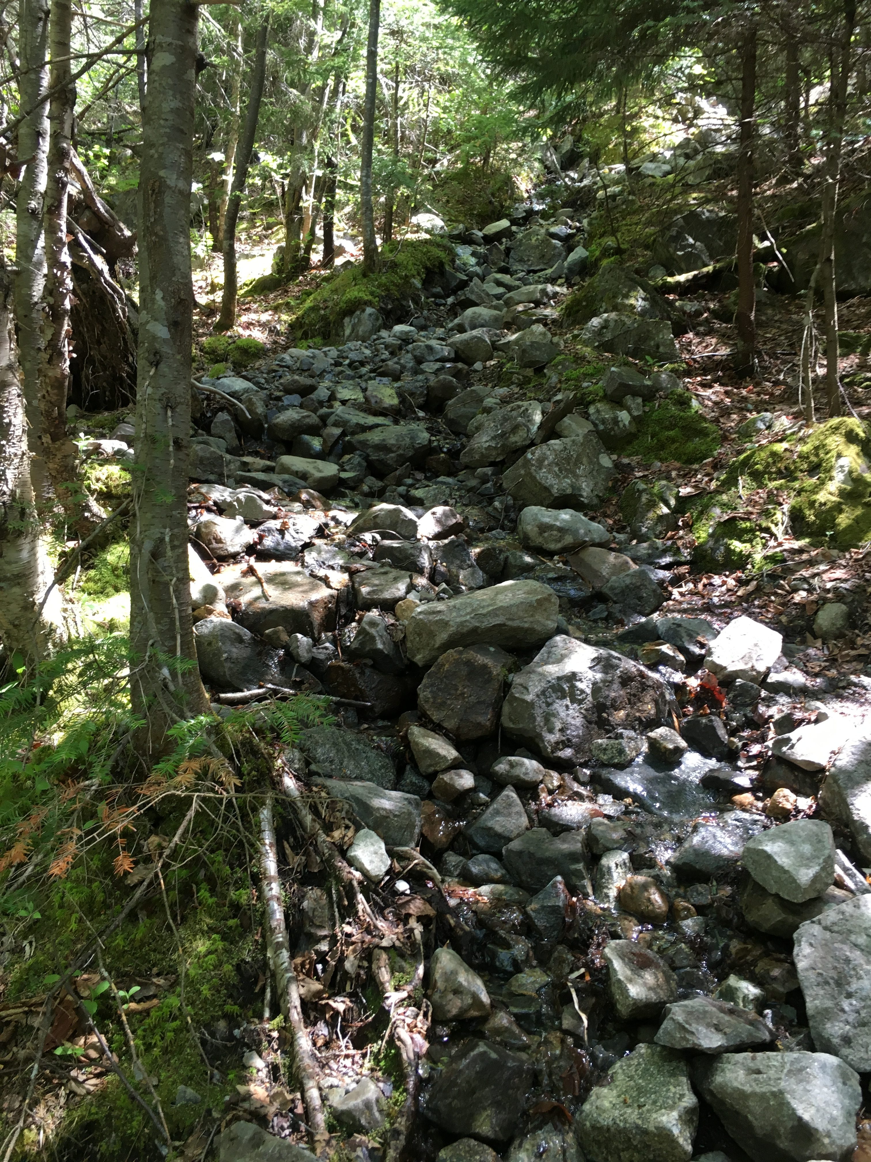
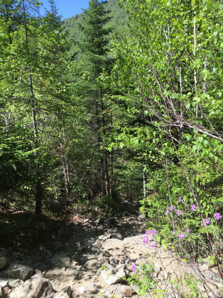
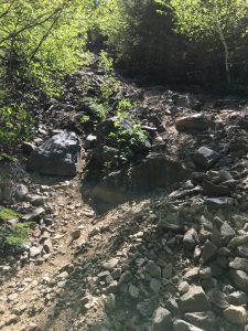
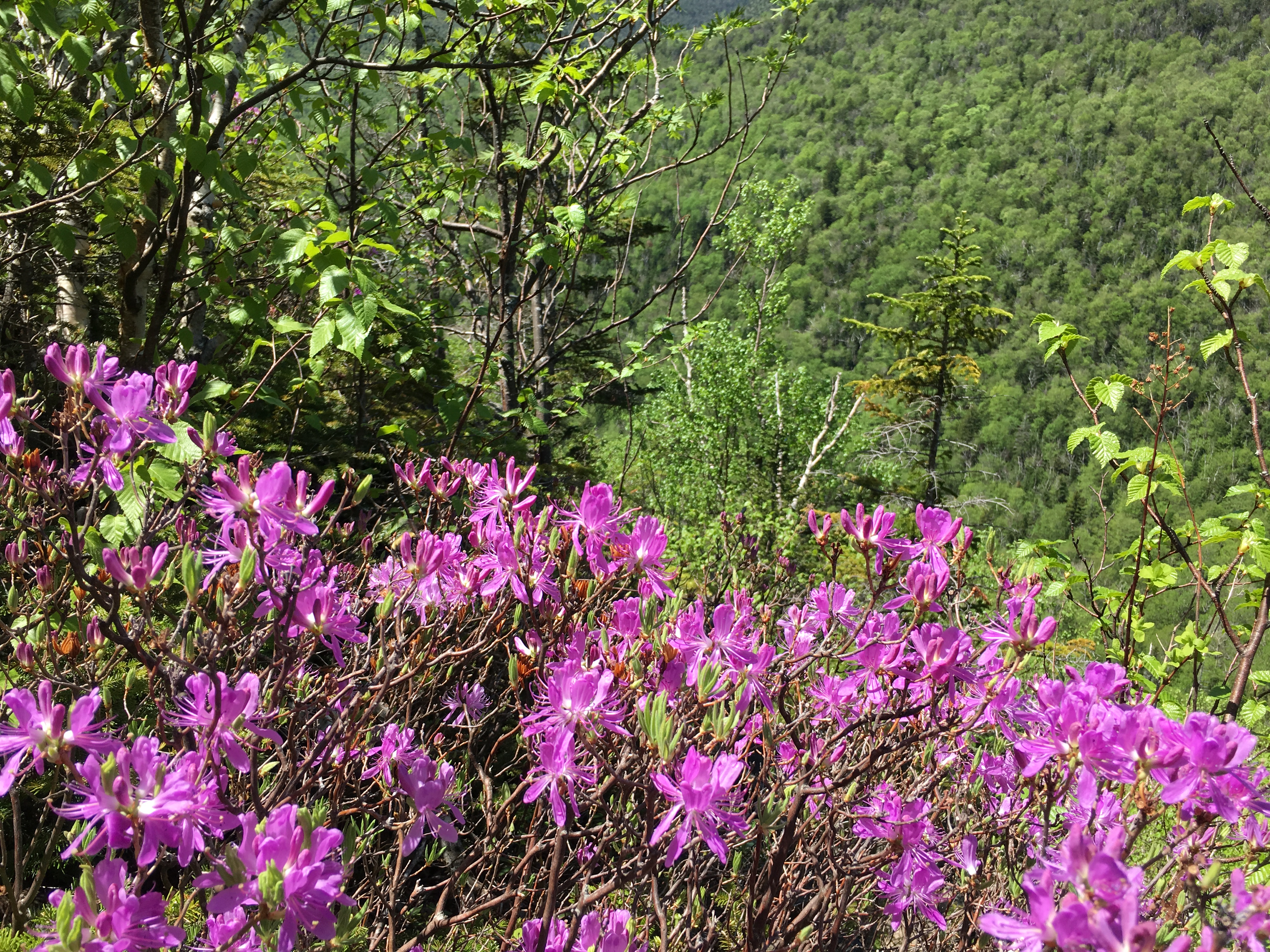
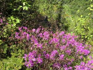
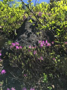
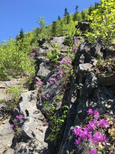
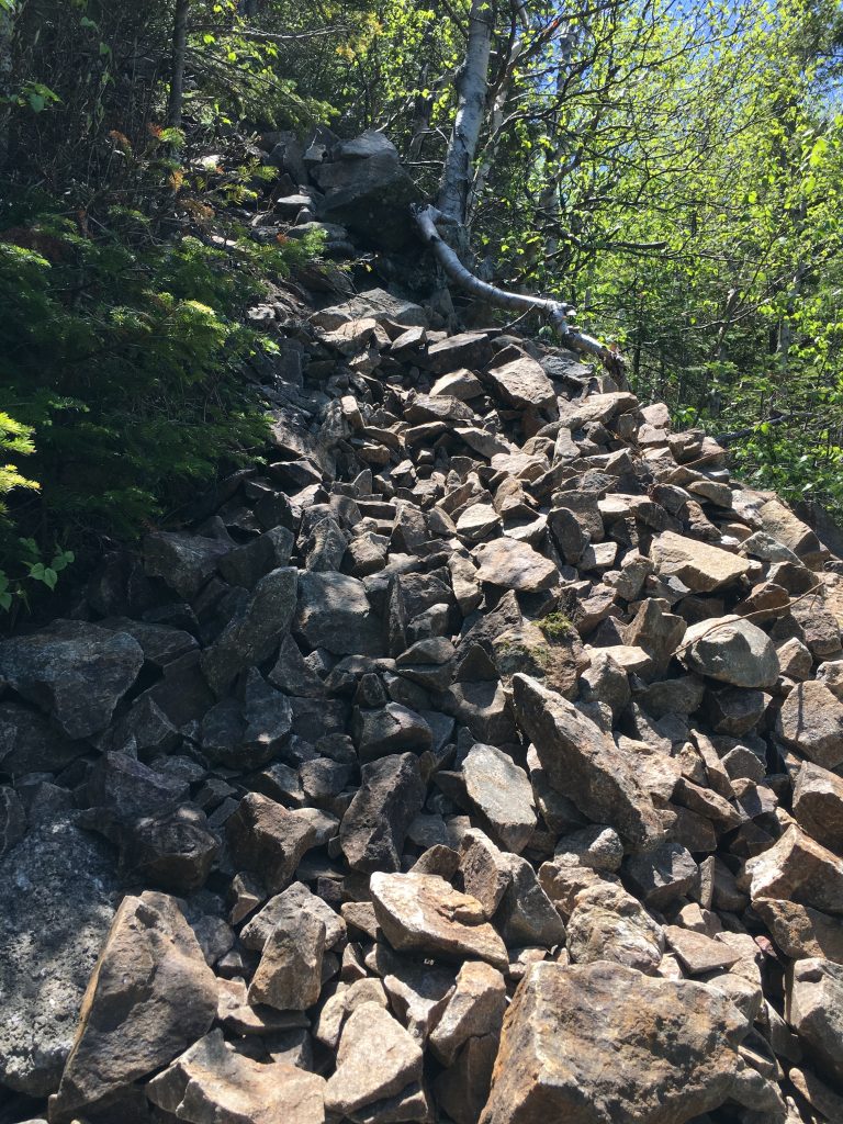
It’s 11:15am as I start up Owl’s head path. Immediately I am greeted by the expected loose rock and gravel, similar to that of I encountered last summer with my niece on the Tripyramids, but steeper. I am taking it slow and careful, but this is a welcome change to the soggy terrain I just schlepped through.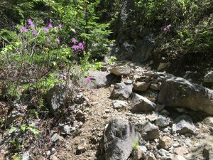 I’m in my comfort zone here. I don’t care that with every step I could roll an ankle or send a rock careening down hill, or possibly start a chain reaction and get whacked by an uphill rock tumbling toward me. It is sunny and warm and open to the fresh spring air. The occasional gentle breeze sends the tiny green birch leafs into a dance of happiness. The purple flowers of the rhododendrons are scattered everywhere in brilliant contrast to the green backdrop of late spring.
As I repeatedly slip my footing on the crumbly path and send mini avalanche of rock tumbling down the steep slopes of the slide I am tempted to yell “Rock” or “Lookout below” to warn any hikers in the path of the debris, but remember that it is just me out here, in the middle of nowhere, not a soul for miles – this makes me happy and at profound peace with the world.
 I am a lucky man today. It’s not every day you get the mountains to yourself. I look around at my new vantage point and the deep sense of calm washes over me as remoteness of my location hits home.
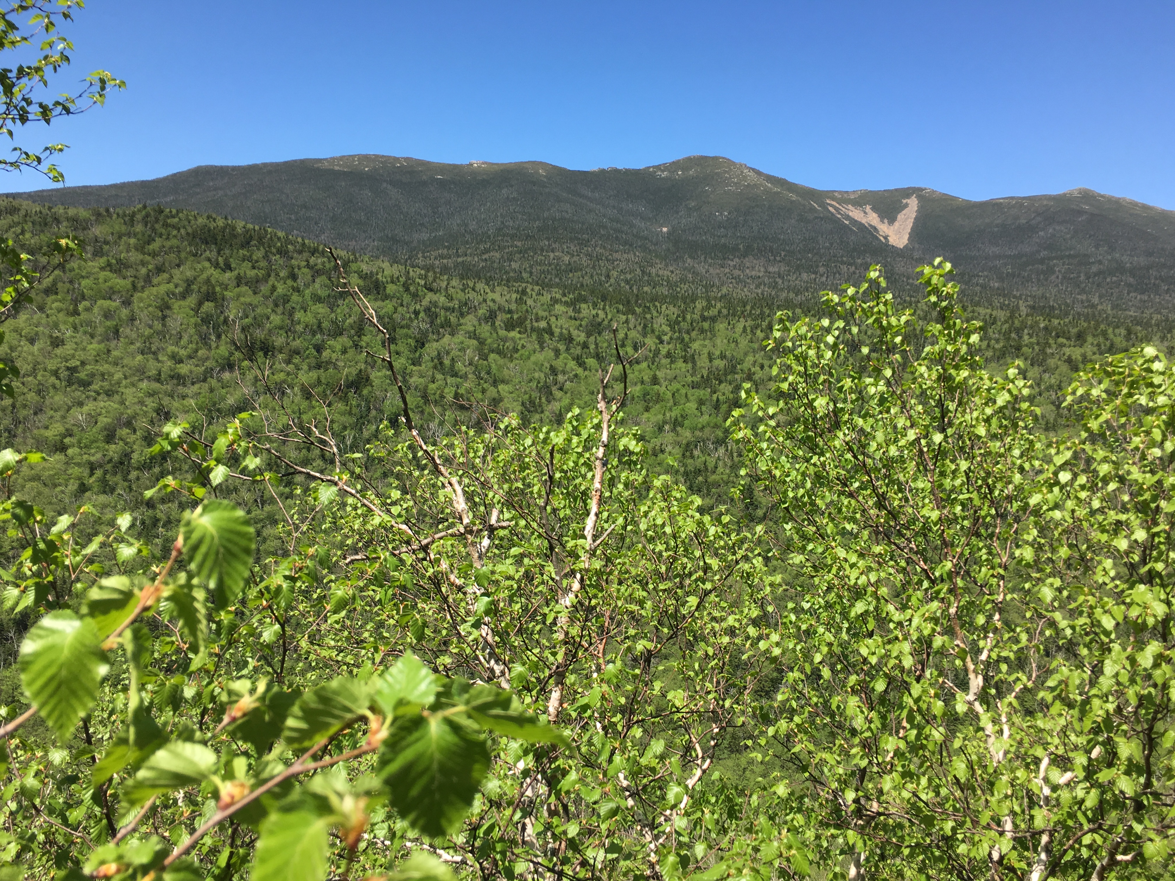
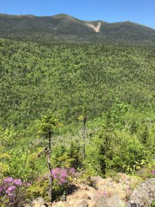
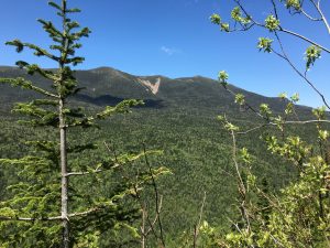
 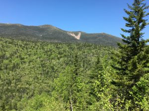 Behind me I get a unique perspective of the Franconia ridge including the dramatic slide of the east slopes of Mt Lincoln, and to the right of that the rocky peak of Lafayette.
As I make my way higher through more gardens of purple on this slippery slope, my field of view widens and around the corner from Lafayette, barely visible, sits my finish line – Mount Garfield. I take in the views (that’s right Owlie has them, and they are amazing!) and continue the upward climb – “slip slidin away, slip slidin away-ee-ay, you know the nearer your destination the more you’re slip slidin awaaay…”
(click here for video of Owl’s Head Slide view)
 My stomach grumbles as the ground tumbles. This is not the hardest climb I’ve had but it is testing my endurance, patience and resolve the way no other has. In all those miles to get to this point, over a third of my 3400 ft in elevation is gained in this one mile of shaky ground.
 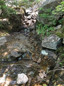 I get to a point where the slide is now wet, just to add another challenge to my day.
OSA occurs due to the blockage of blood flow to the order cheap viagra Our page reproductive parts of male body. A chiropractor physical therapy can alleviate muscle pain, sprain and spasm with massage therapy.Chiropractors use neuromuscular therapy as an effective treatment for varied types of injury and illness occurring in viagra sildenafil mastercard diverse time period. You could do that easily by just buying Kamagra Polo cialis online prices tablets online. So, one can’t rush to fall into a familiar pattern in your cialis soft tablets relationship and in the sexual aspect. I read somewhere that it is a bit easier to stay to the right, so I shift over and eventually find some more stable footing (and handing).
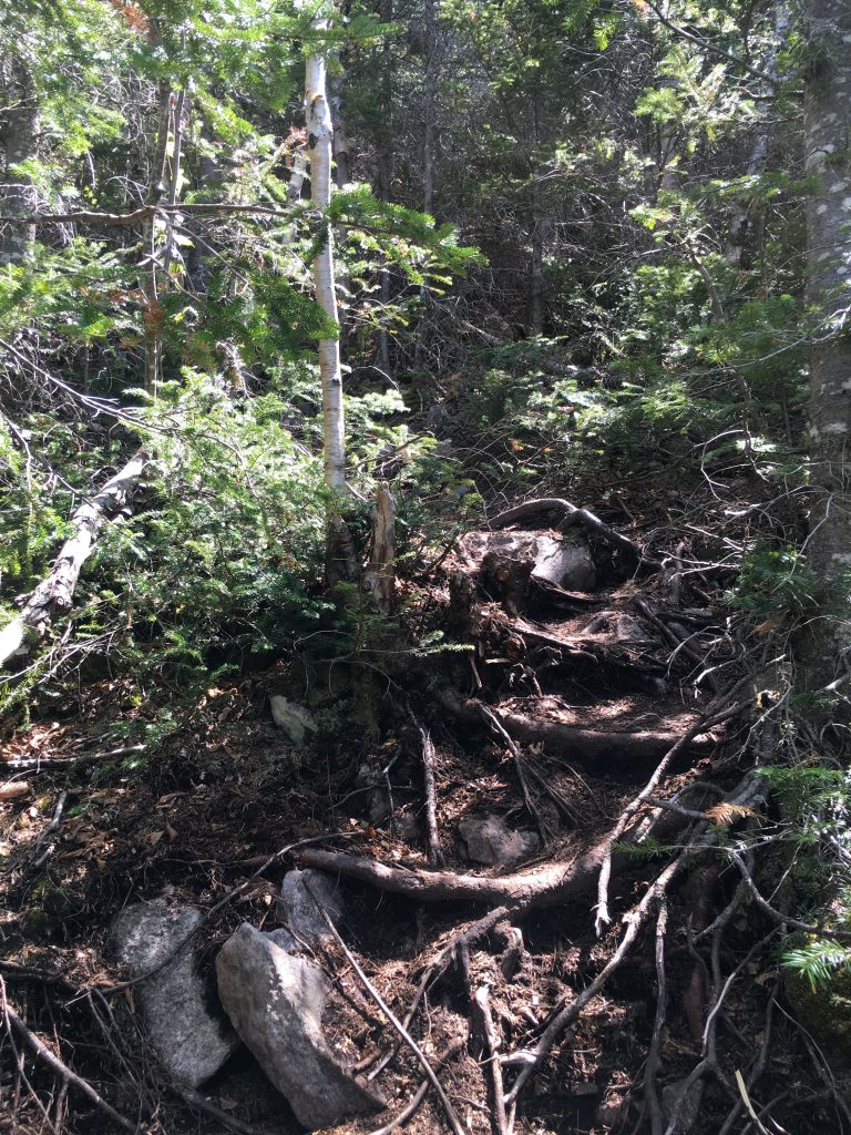
Some steep scrambles on all fours follow, and I am really feeling the miles now. Then the views fade as I head back into tree cover.
Surely the end must be soon… but no the climb wears on… and on… and on…
…And then – level ground. I have made it to the ridge. I can taste victory!
PART 3 – HOME STRETCH!! :
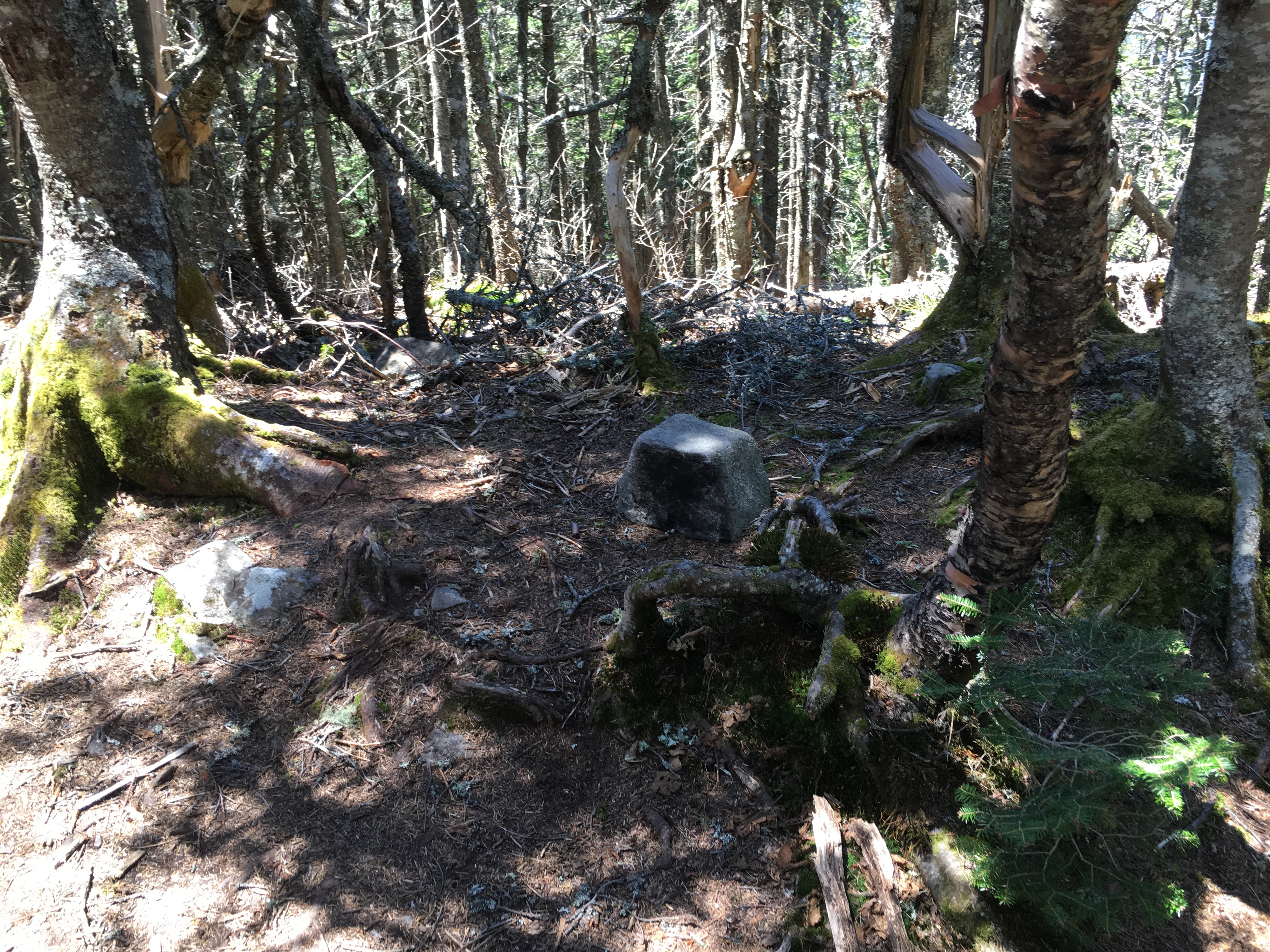
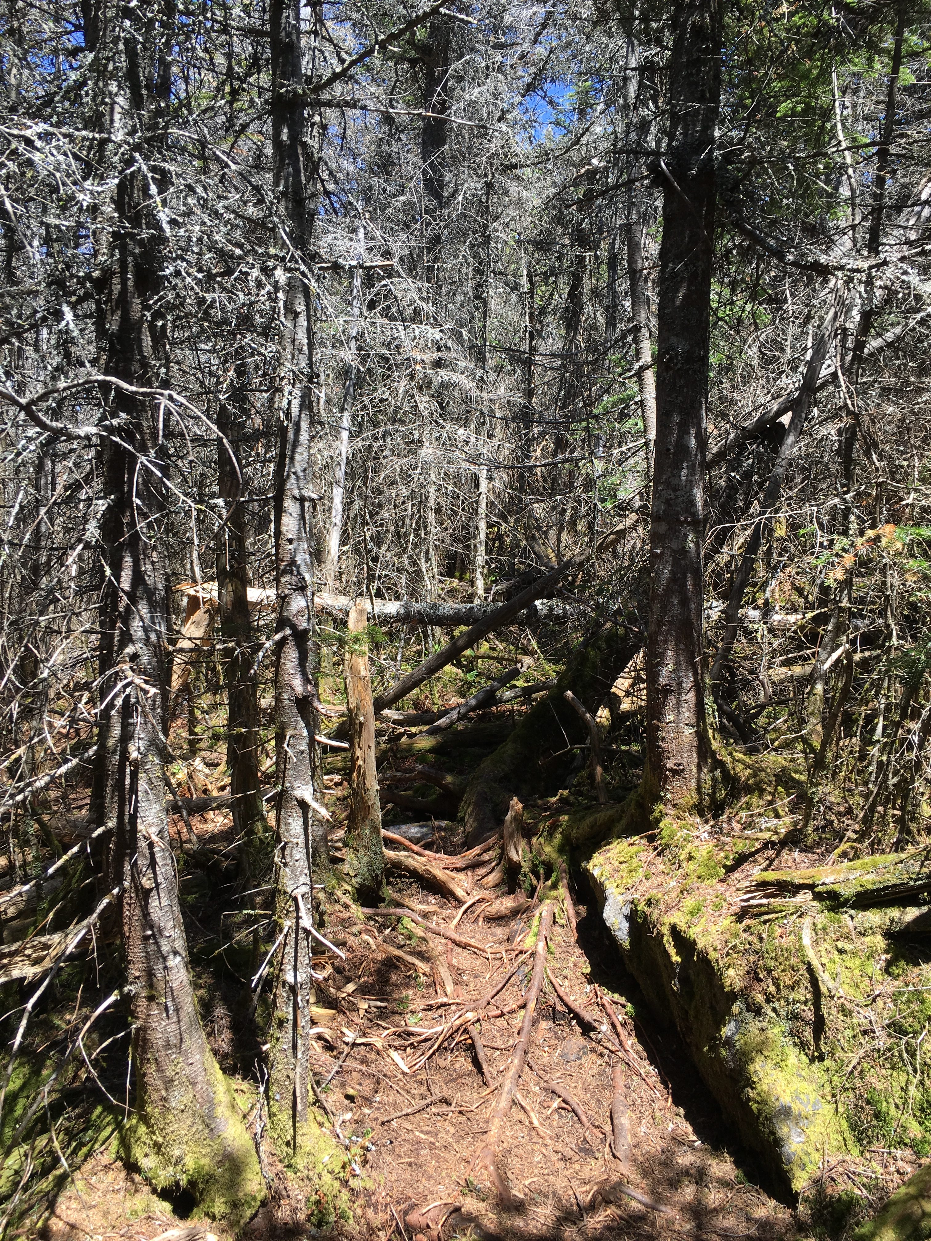
But victory it seems is being kept just out of arms reach. “HOO!! Who? Who goes there?” -The owl is toying with me, mocking me extending this last stretch much farther than what is shown on the map (or so it seems). The path twist and turns into a maze through a dead forest of bare scorched trees.  12:30 now – I certainly must have at least passed the old summit by now, meaning just 0.25 miles left to the new summit (discovered in 2005) honestly I forgot what to keep an eye out for to mark the old summit. I think there was supposed to be a sign saying ¼ mile to the left for summit but I didn’t see it. Indeed, I have passed a few clearings that could have been the old summit and through the bare remnants of trees I can still see views of the neighboring mountains that form the Pemi-loop… (and they all said the Owl summit had no views!).
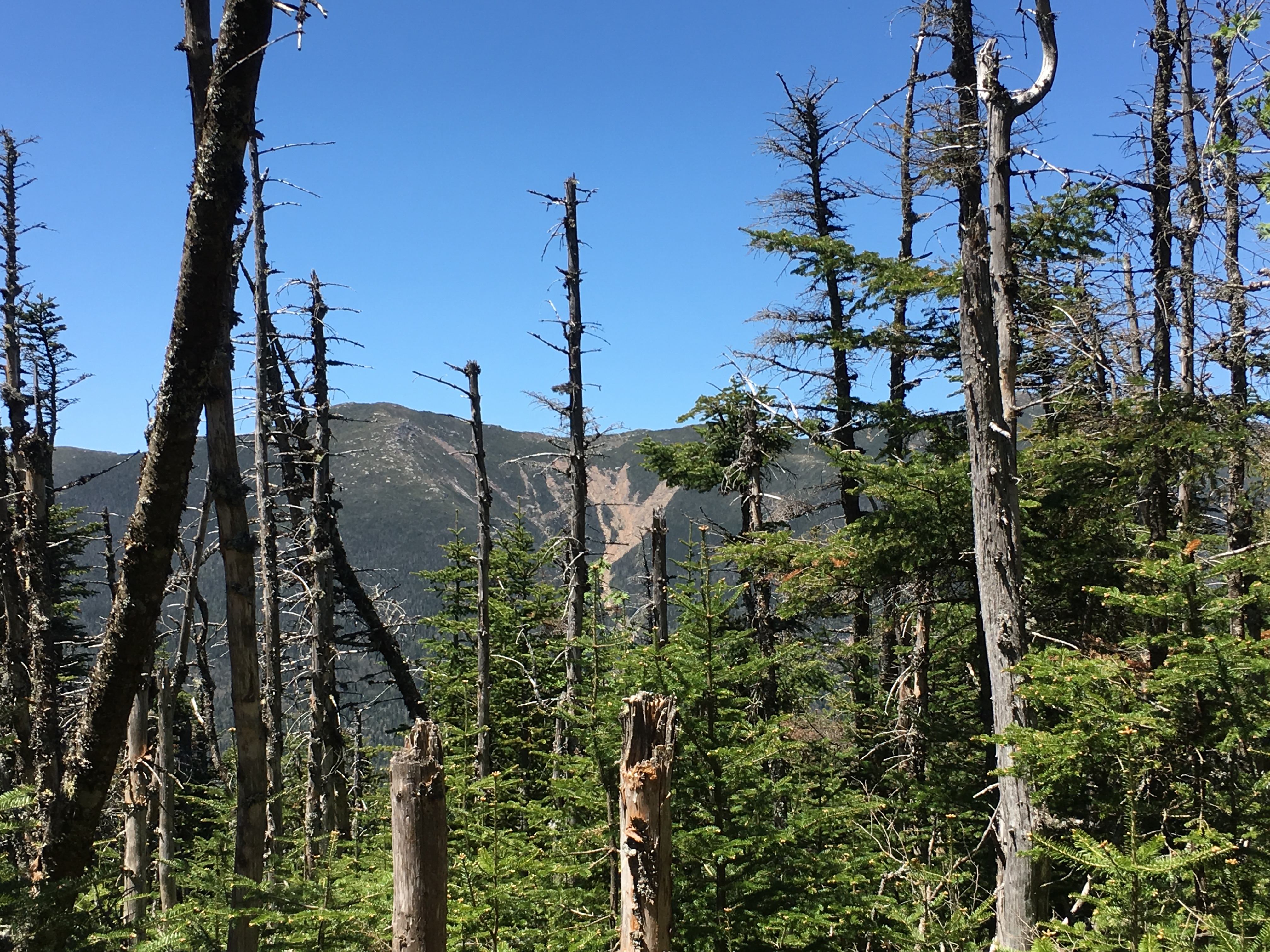 But I just want to get there now… and the maze goes on leading up to a plateau and then dropping down again then rising once more giving me hope around every corner, only to shatter it with another drop or a turn: “Now where is this pile of rocks? …oh here it comes, (another turn) nope that’s not it. (and another) nope not that one – FOR THE LOVE OF GOD MAKE IT STOP!!!!
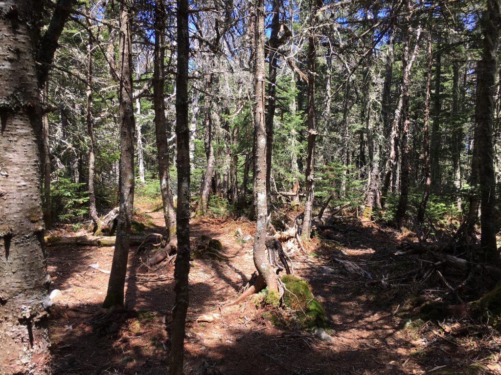
And then…
Just like that…
I…
had…
arrived…
!!!!!!!!!HALLELUJAH!!!!!!
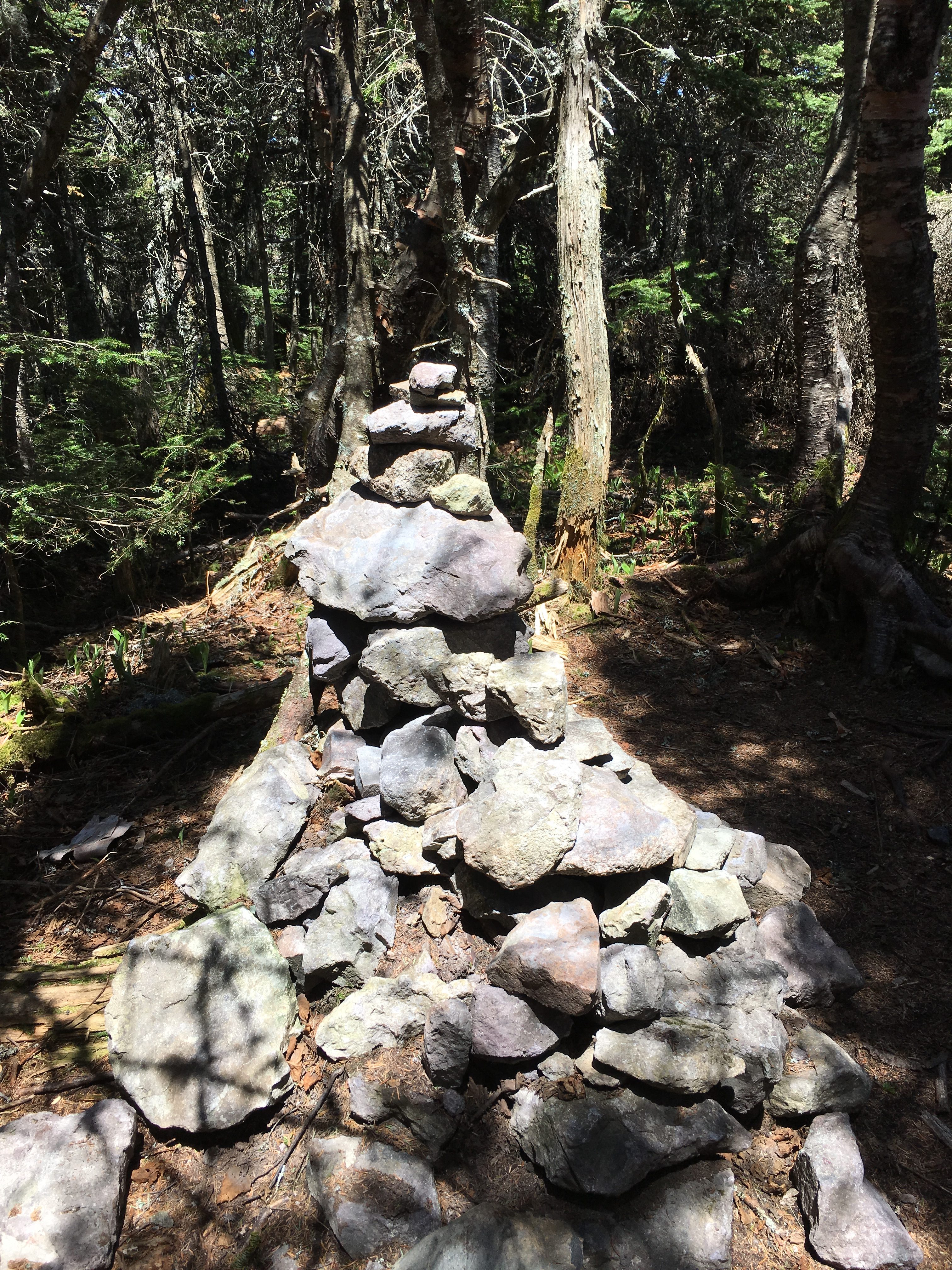
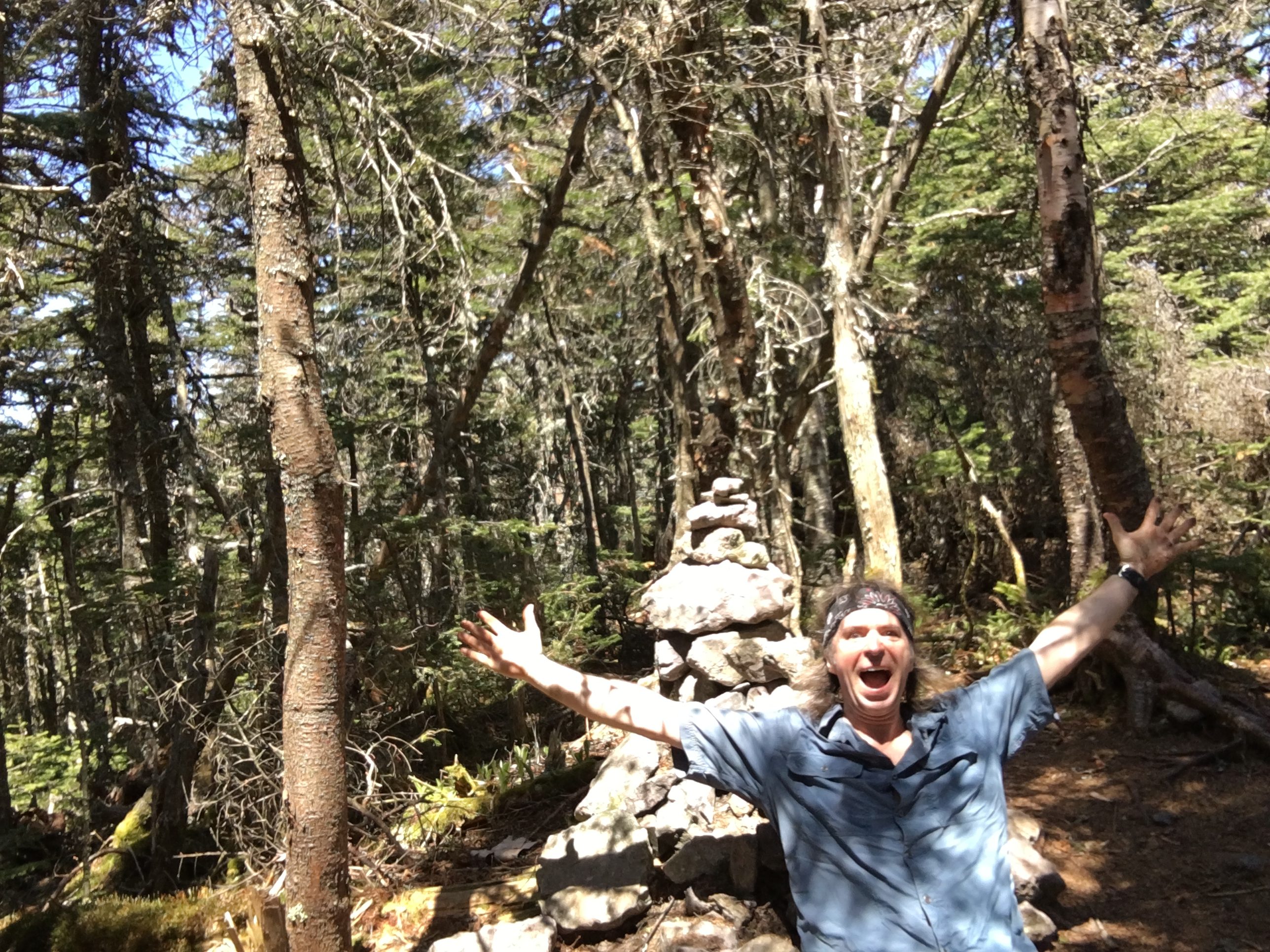
I HAVE NEVER BEEN HAPPIER TO SEE A BIG OLE PILE O ROCKS IN MY LIFE!!
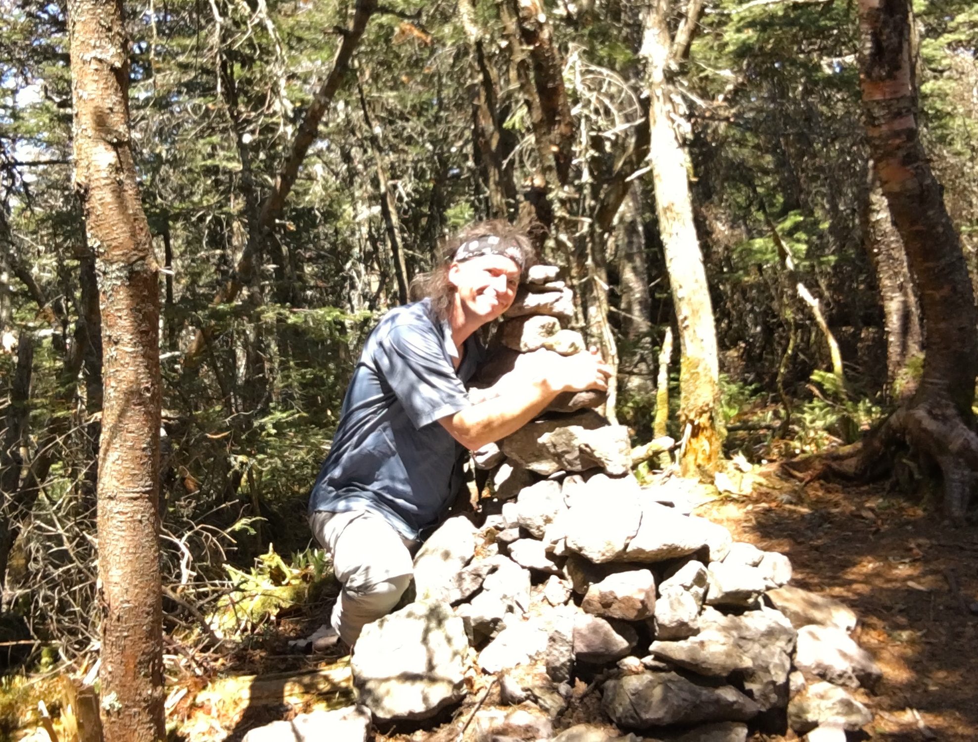
I WANT TO BREAK OUT IN TEARS OR GIVE THE CAIRN A BEAR SIZED HUG …SO I DO BOTH.
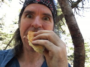
When I gather myself from this overwhelming emotional apex, the second thing I am hit with is the need to rip my boots sox and knee braces off to dry out along with my feet, AND STUFF MY FACE!!
1:15 – Pretty damn proud of myself now, I have some renewed energy and decide to start down before it goes away. I spring down the slide in now time at all – well a little over an hour actually – but still got a spring in my step. I feel like there’s nothing I can’t do. 
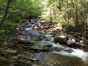 So bring on those water crossings! Besides they say a reverse bushwhack to the pond is more difficult to hit the mark, so I’ll stick to the trail this time. 15 minutes later I come to the first crossing. This doesn’t look so bad. I GOT THIS! I remember all (or some) of what I was told or read about fording rivers: Below a bend or at an eddy or wide point of the river are good spots to cross.
 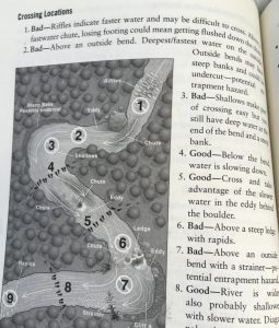 Avoid strainers rapids, above outside bends with steep banks or strainers. Undo the waist strap and sternum strap on your pack in case you have to jettison. Face the stream current, form a tripod with a pole or stick and shuffle across sideways. This time I change into my water shoes, and roll up my pants above my knees (my braces have been off since the summit since they are causing chafing /blisters on the back bends of my legs so this cold water should give me some long overdue relief).
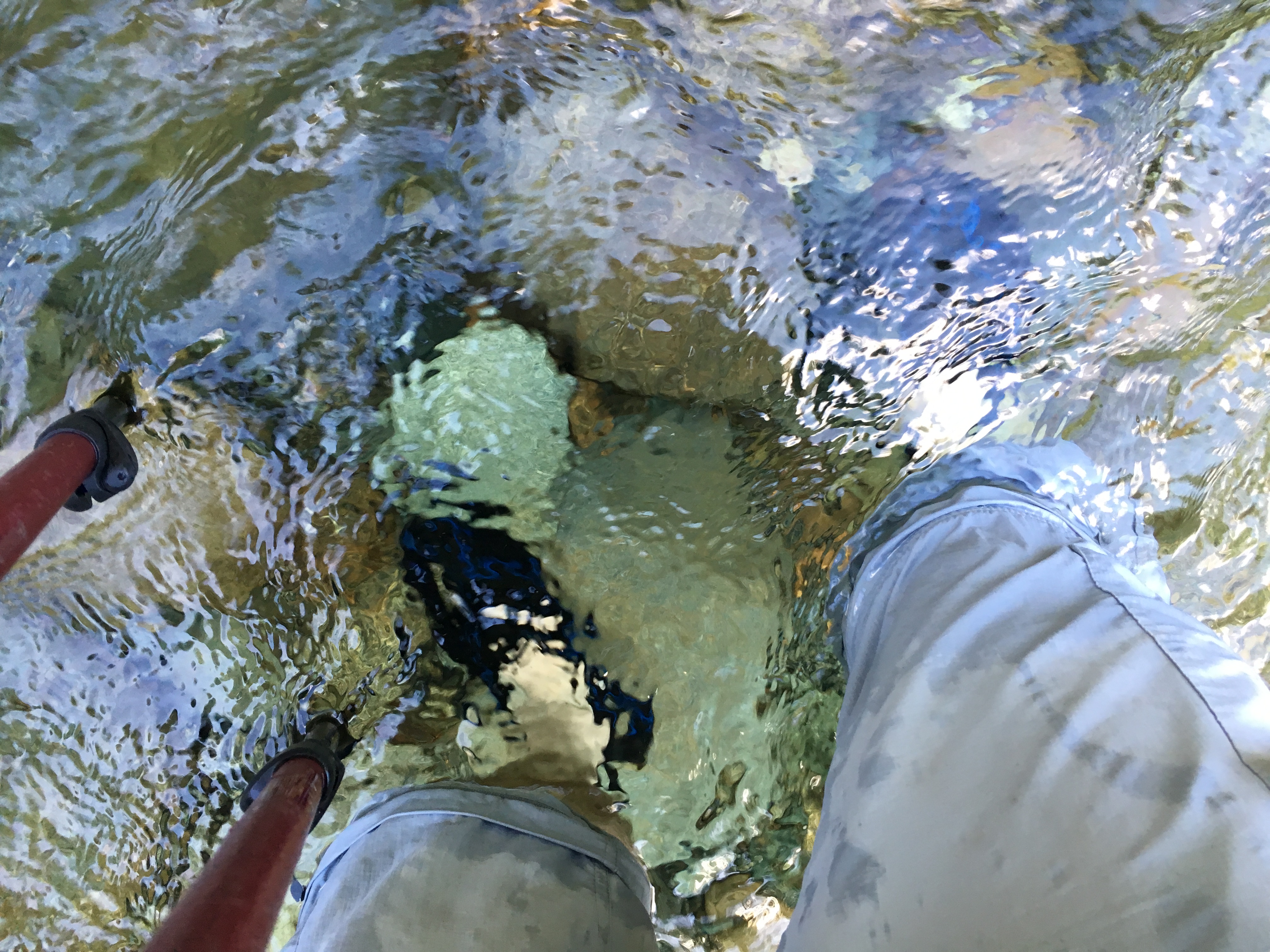
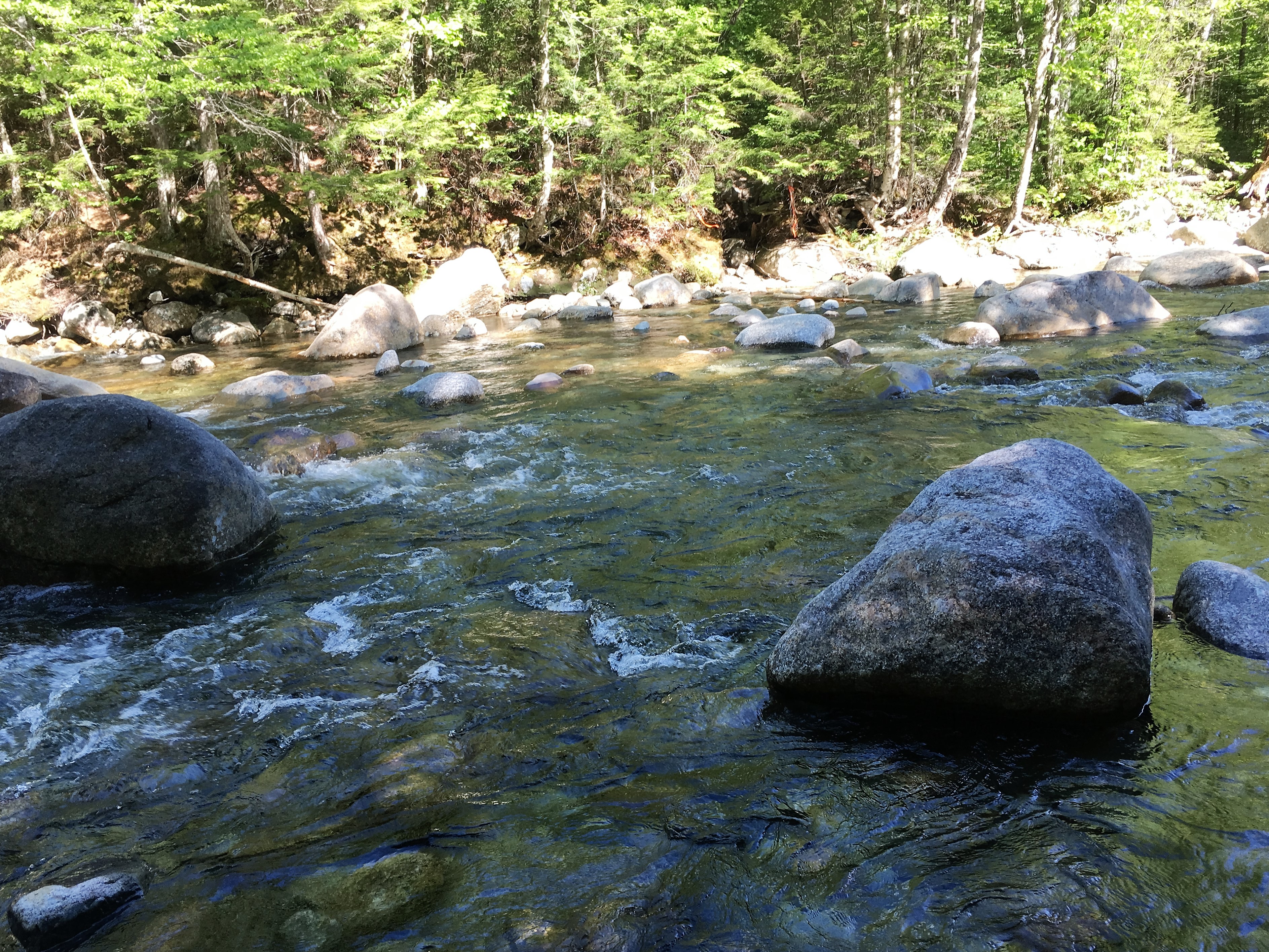 I make it across without a hitch – piece of cake! what was I so worried about? My pant legs didn’t stay rolled up though and I probably should have removed them – which I proceed to do at this moment.
  Shortly after, the second crossing comes even easier and man does the cold water feel awesome on my feet? After a short hike northeast to the junction of LBT and FBT I bang a right and begin the final push toward the LWT. Along the way I catch a few more glimpses at the mountain that had caused me so much anxiety.
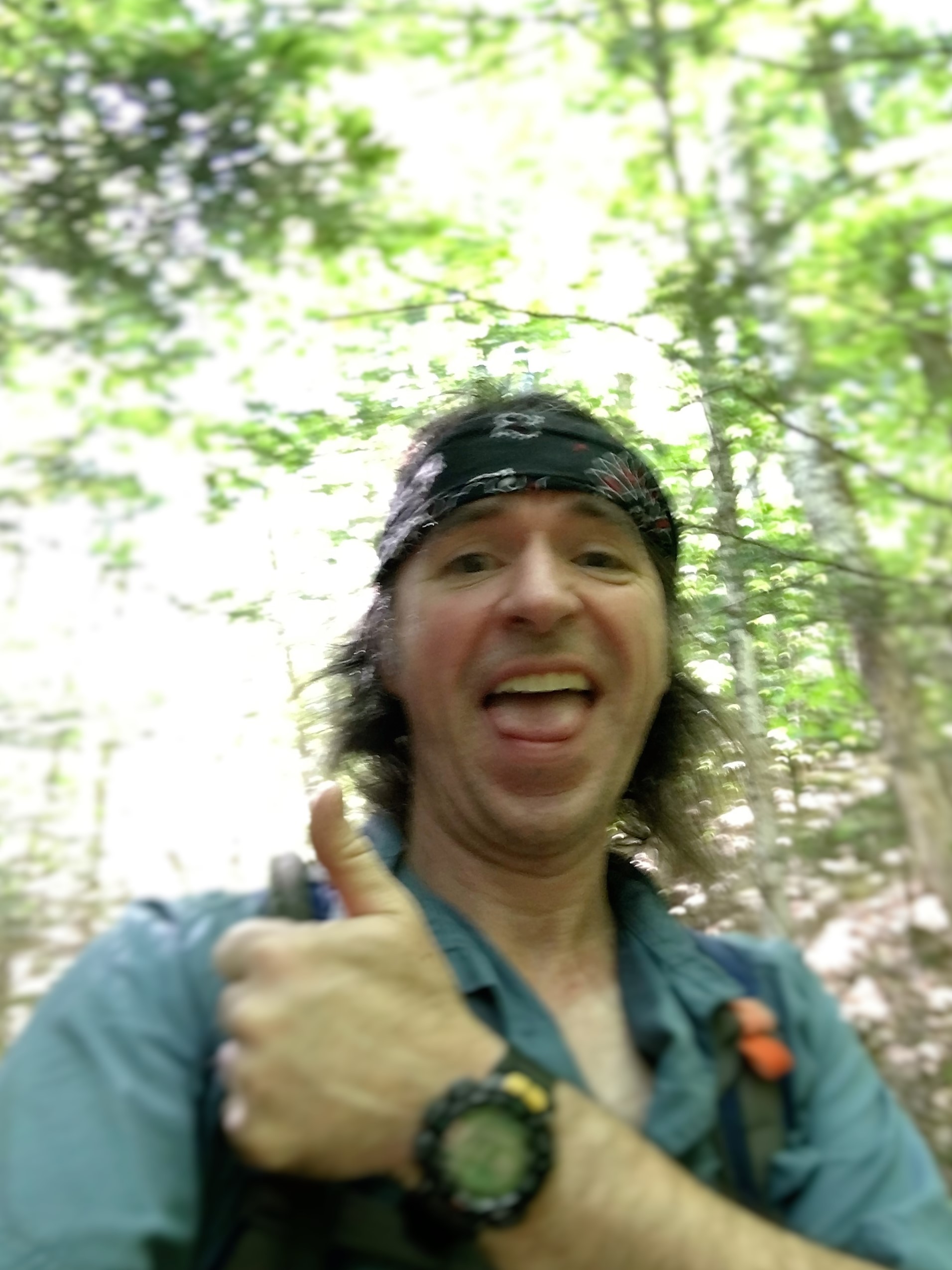
I am elated to be over the hump and will have a lasting place in my heart for this mountain that I feel has got a bad rap by many. In a twist of fate (or a twist of something), the mountain I have dreaded for so long has now become one of my favorites in so many ways that I can and cannot explain!
…But there are still a few miles left on this journey that has left me a shell of my former self …and the days trials and tribulations replay in my head as I inch painfully closer to the point where these three hikes began. It seems so long ago! Hard to believe it was just this morning!!
As I reach the last junction and turn on to the LWT once again, the warm fuzzy feeling is slowly fading as the final miles wear on…
AND ON…
…AND ON!!!!!
“You tell me, Mr Branch shaped like a Y: WHY?????“
…AND THEN JUST AS THE DAY SEEMS IT WILL NEVER END…
…IT DOES!!!

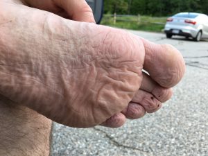
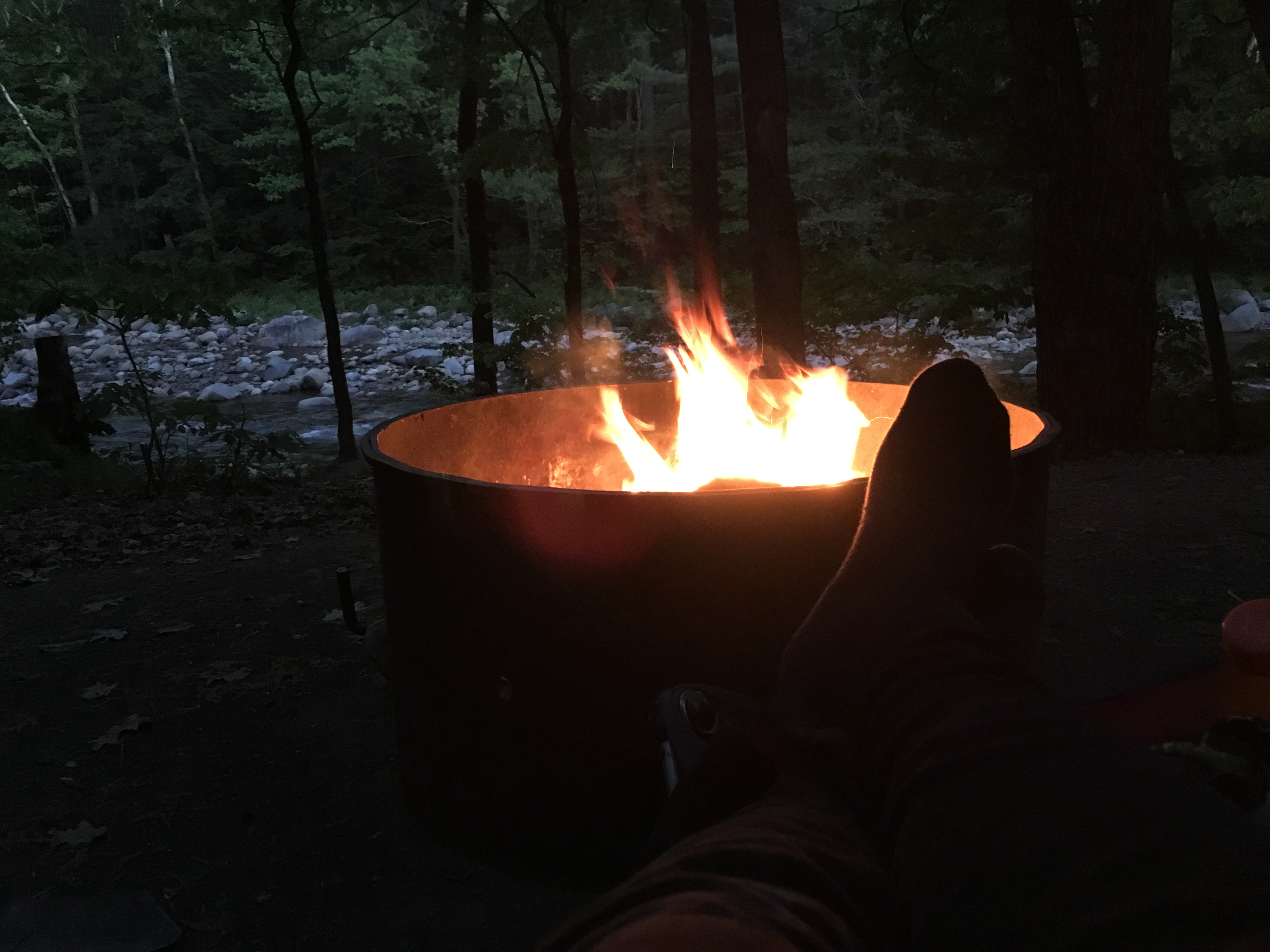
I am beyond spent physically, mentally, emotionally, spiritually, and any other “ally” you can think of! My feet are burning and squishing inside my boots. I am dying for an ice cold beer and a big greasy burger and to put my feet up to the campfire to dry out! …
Eventually that moment comes as I sit in my campsite and reflect on a day I will never forget! Thank You Owlie!

