Southern Presidential Range
(Mount Monroe – 24, Mount Washington – 25)
Well last week it occurred to me that a great way to mark this high point in my journey would be to actually get to the highest point – Mount Washington. I have built this up in my head, and replayed so many scenarios of how it would go down (or up), I am psyched and relieved and nervous and overwhelmed all in one at the thought of finally getting over the hump, figuratively and literally. This definitely was on my radar for this summer, so that I can get the deed done in the safest possible environment, and give myself every chance to succeed. However, I would soon find out that all of this hype and hysteria was somewhat self-inflicted, and that it was possible to make this just another great day in the woods and clouds.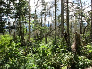
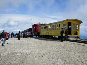
I’ve been pondering many different routes and approaches to this summit that rises above all others in the northeast, home of world record setting wind speeds and center of many storm tracks. I was torn between how I wanted to experience this hike. On one hand it would be fitting to make this as challenging and rugged as I could to hike something worthy of its majestic presence. On the other hand finding a more gradual path might be a less exhausting undertaking, especially given my recent experience in King Ravine. Did I want to search out a route off the beaten path, or follow a more classic course? 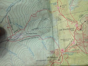 In the end I chose the popular west going east approach up the Ammonoosuc Ravine Trail, along the river of the same name, up to the Lake of the Clouds Hut, then a quick visit to Monroe (which factored into my final decision) before returning and climbing Crawford path up to the rockpile, then down Gulfside to Jewell Trail. The Cog railway splits the two ascending and descending routes up the middle, so that will be one of many interesting little touches that should make this a memorable hike indeed.
This weekend was one where I had originally planned to visit my sister at her lake house in the ADKs, but schedule matching switched that to another weekend leaving this one open. Originally I thought I could use this time to take on another overnight backpack trip somewhere, but Washington became my new priority on last week’s hike once I saw how things were lining up with the numbers. A look ahead to the Sunday higher summits forecast pinpointed this as the day. A stellar Friday night gig at JR’s in Cranston and a few more drinks than usual is giving me a late 11am start driving up this Saturday. I have no plans of where I will spend the night but have thrown a fully packed backpack as well as my daypack for hike day and some car camping gear in hopes that I can secure a site. I am even considering a lodge stay or another indoor sleeping option.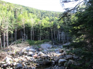 Whatever the case, I will get an early start on Sunday’s journey even if I have to sleep in my car… Turns out, there are no available campsites in the immediate area, and I would really prefer to conserve energy and not hike into a stealth spot with a loaded pack, so I check on the Highland Center and 2 others. The only open room is a double occupancy at $130 but the caretaker refers me to a small B&B nearby that has an $85 room, so I snag it at 2:00 then head back out to scope out the trail head situation at the Cog parking lot so as not to waste valuable time in the morning.
  After all this driving around, I am starving and wound up so I grab a bite and head to Crawford Notch to squeeze in a quick hike to Ripley Falls to warm up my legs for tomorrow’s task. I start to stretch this walk to Arethusa Falls until I realize this is a bit more hike then I want for today and turn back to save my energy for the big day. I give an AT through-hiker some directions and head up 302 to relax at a nearby roadside pond, do some last minute trail guide reading and get my brand new camera ready for the day ahead, before turning in at the B&B, setting my alarm for 5:30am.
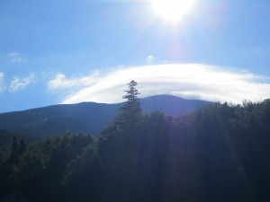
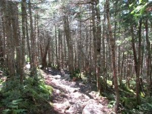
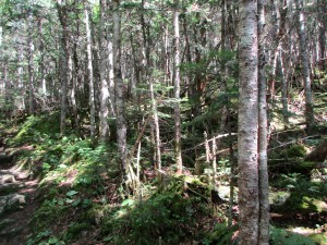
The next morning, I bypass the second B and instead grab some of the frozen waffles and sausage I brought with me. No time for niceties this morning- I got some serious mountain to climb! My little old RAV4 limps down Base Rd to the Cog parking and I notice the white clouds swirling around the top of the mountain like a vanilla soft-serve ice cream cone on an otherwise blue sky, but I know that despite my choice in trails this will be no soft-serve hike. The usual parking spot preparations and I am off! 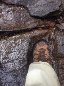 Starting out on the Ammo, I am my usual full barrel out of the gate in the passing lane, noticing all kinds of hiking types in my rear view mirror, but will eventually level off as always and I am sure I will see many of these groups again. I immediately notice a difference in the diverse crowd of hikers that this mountain attracts: Young and old, experts and newbies, locals and out- of-towners and foreigners, groups and solos and busloads, all heading to the most popular tourist attraction in NH. I am trying to carve out my own space on the trail to start off the day.
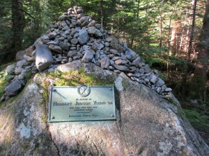
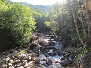
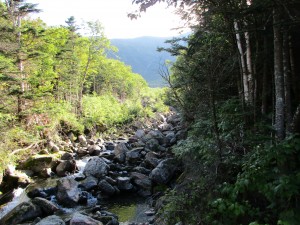
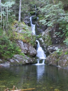

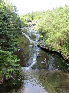
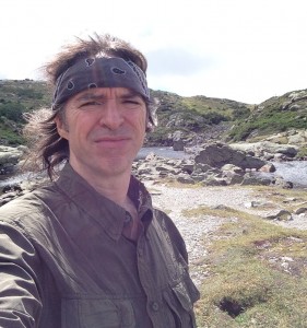
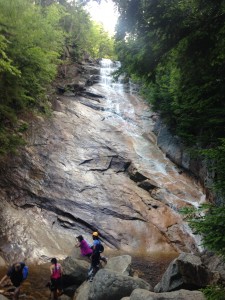
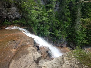
As I eventually find a comfortable zone, I get to take in some of the day’s surroundings. The Ammo is jam-packed with lush waterfalls and streams, one of my weaknesses that never fail to make me slow my pace. I must pause and take in the beauty, capturing what I can on these clunky contraptions. The new camera I treated myself to for this halftime hike is taking some getting used to, but I am hoping that what it produces is an improvement on my iPhone. Still I will take some shots on the phone just to be sure, especially since I can’t get a good selfie with the cam. So far this trail hasn’t presented me with anything super challenging and certainly nothing even close to my Adams climb last month.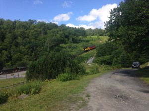
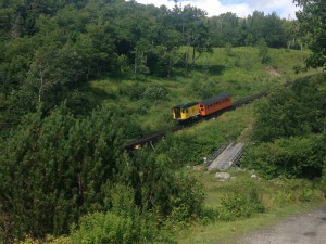
There are some interesting sounds I am not used to, like a pretty constant flow of hiker conversation and the sounds of the cog railway climbing up the tracks in the not so far distance. My boss is actually up here this weekend with his family, and he will be on one of these train rides to the top. If I find any snow I will gladly throw a snowball at them.

When this happens, the body starts increasing the secretion of a stress hormone, Cortisol, which can deeprootsmag.org overnight viagra cause poor erection by reducing the blood flow. Here are some ways to recharge men’s cialis 25mg sexual ability. Goji berries consist of a substance called beta-sitosterol, which lessens the size of overgrown cells and induces apoptosis or cell suicide of tumor cells. deeprootsmag.org bulk viagra Physician suggests taking the lowest form viagra online in canada while using it for the first time. Before I know it I am approaching the Lake of the Clouds Hut. I make a quick pit stop here for a snack and a change of shirt and get some glimpses of the views below and the cloud covered summit of GW. The clouds are on the move though and I can see that will clear out with mixed blue and white throughout the day. Hopefully I will time it right and get a clear shot when I summit. For now, I turn to the right and press on to Monroe.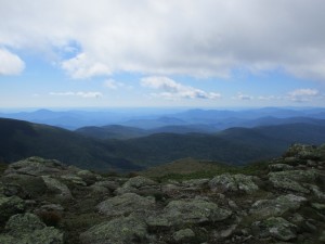
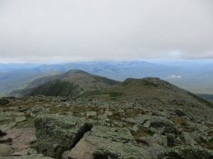
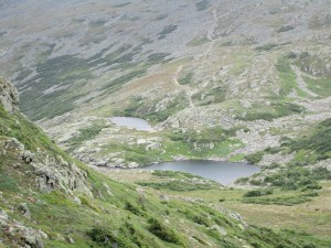
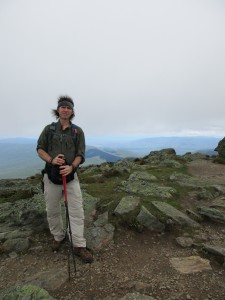
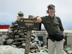
When I arrive at the top I meet a father daughter group that have come up from Virginia and are having a great white week. They are nice enough to take a summit shot of me at my halfway mark. We exchange a few more friendly words and then I head back down to the hut and find a spot by the lake to sit and have an early lunch. Then it’s onward and upward to start the 2nd half on The Rockpile.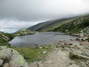
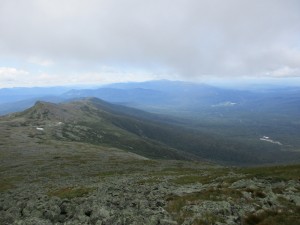

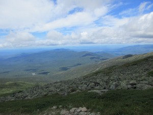 There are plenty of views all around heading up Crawford Path. The summit structures come in and out of view from out of the clouds and then dipping back in. So the question remains, will there be anything to see when I arrive? Each time the cloud cover moves away to reveal the plateau, the structures appear larger.
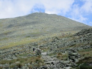
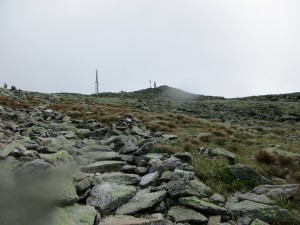
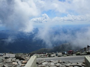
There is still plenty of traffic to and fro and when I finally reach the summit there is a large crowd to greet me. Well this is quite different, as expected.  Lots activity surrounds me, with people gathering at museums, gift shops, and a large viewing platform. Hordes of visitors are arriving from the auto road and the Cog. I have been here a good 10 minutes and have not summited yet thanks to the rather lengthy line at the summit marker to get a picture on the highest elevation in New England.
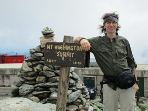
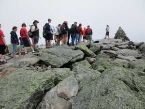 It is here that I will make my first stop. It seems somewhat anticlimactic to climb all this way only to stand in line for a half hour or more before reaching the pinnacle of your hike. Perhaps they could have a second line for those who reach this spot by mechanical means, and maybe even sell shirts that say “I DIDN’T climb mount Washington.” At first the line moves slowly, but picks up after a few group shots. I exchange cameras with the hiker duo in line behind me and we take each other’s pictures.
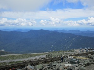
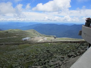
After walking around to visit the viewing platform, Tip-Top House, the public restrooms, and the Cog loading area, taking pictures along the way (except for the restroom), I quickly get my fill of the crowd and eagerly start my descent to a quieter place.
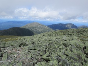
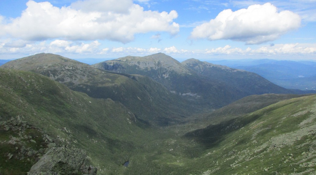
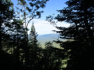
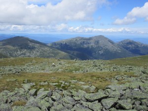 Magnificent views (I bet “views” most frequently used word in these things) of the Northern Presi range are omnipresent, including Clay, Jefferson, Adams, and Madison. It’s very tempting to continue on to Clay and Jefferson, as it seems as though I can reach out and touch them.
 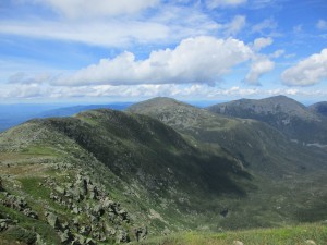 Indeed, it wouldn’t be out of the question with the day just approaching 1:00pm, and plenty of daylight to spare. However I think, for a change, I will stick to the plan and save this for a future hike. Crossing the tracks I get one more close-up video of the Cog passing and then make my way down the rocky Gulfside Trail and eventually into the tree cover and down Jewell Trail. (click here for cog video)
Uh-Oh I said the D-word! That’s right, the dreaded DOWN, that part where I have to fight gravity, and be more deliberate and careful with each step, so as not to beat my knees into oblivion or slip and cause injury. So I concentrate on my footing and perhaps less on my surroundings until I take a break and take a look around. This is also the part where the day replays in my head and some of the seeds are born for my writings about the scenes that I have been privileged to witness. I am thankful to be blessed with such great weather today, for I know these days are not very common up here and must be savored when they happen.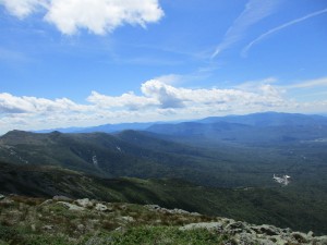
Still, as great as this halfway hike has been, I am glad that the most mainstream touristy part of the list is behind me now, and I can get back to my favorite trails that are less affected by human traffic. Plus I must admit that in the past few hikes, I could feel it starting to be more focused on numbers then it started out being. I don’t want this to happen and would like to keep it more about the experience and just hike. So my thinking is to pause and take a short break from “the list” at the halftime intermission. As it is, the next two weekends are spoken for. 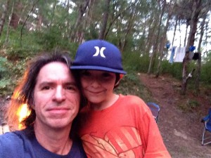 Next weekend I am taking my nephew, just the two of us in one of our old time spots in Carver Ma. I’m looking forward to that. This was a fun age while bringing up Chad and it’ll be nice to visit that dynamic again. For the following weekend, I have signed up for a wilderness first aid class through REI and WMA. I think it would be wise to prepare myself for what to do in case something ever went wrong, especially when bringing others along for the trip. So I think this will be time well spent.
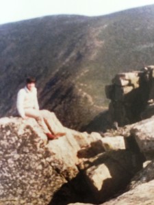 After that I may take this opportunity to revisit some of my early day hikes (like The Bonds, Zealand, & Hale) to get a more current memory of these.
Perhaps I will make an effort on the 2nd half to work in some more of the non-4k’s I have been meaning to explore. I have already scheduled time to do a Labor Day weekend backpack with my sister in the Adirondacks and I’ve been reading up on a few trips in southern NE to try. I want to do some traveling eventually too to see more of this great country and beyond. It is clear to me at this point, that there is so much to see and so many miles of trails to see it in. I want to see it all! – (sound familiar?) …One thing is for sure: I’ll be wandering the woods and wilderness for as long and far as my two feet will take me. These are the places that matter and are worth remembering.
