Crawford Notch/North Country
(Willey-20, Waumbek-21, Pierce-22, Jackson-23)
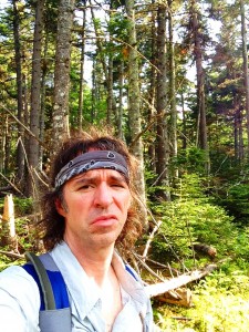
Part 1 Willey– Or maybe www.wet-woods wanderer… Or perhaps www.where were whites? Making my way along these soggy trails on this foggy damp weekend, the title for this entry has changed so many times in my head. Thankfully in the end, the heading above summed up the past days the best. I had booked this trip months ago, not knowing what peaks I would be conquering and even as the time was upon me I didn’t have a solid plan. I don’t know how much good a plan would have done anyway. Probably as much good as a set list does for my band (we always end up abandoning the list early on, and calling out songs).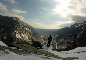 It was here in Crawford Notch when I first learned to always be flexible in the mountains- adapt and overcome- and I was rewarded, given an opportunity to climb to 3442 and then 4340 when it seems like 2865 might be all I would manage that weekend. It was here where I spent so much time on the whitest wonderland season I can remember and where I fell in love with winter hiking. So I am looking forward to seeing what the area looks like under all that white stuff. As it turns out, the weather is not on my side to start things off and I might not get the chance to see the notch’s summer views this time around.
Well that doesn’t matter all that much because while the views are always amazing up here when they are present, it is not the only reason I hike. Sometimes just a walk in the wilderness is just what I need. It has been 2 weekends in row that I have been away from my home in the woods and I’m glad to be back where I belong. I am not complaining really, because I was busy doing my OTHER favorite thing – music, playing 3 Saturday gigs over 2 weekends. Still, it seems like forever since I last got my boots dirty and I vowed that over these next 3 days I would be hiking every minute I am able. So I am getting a head start driving up on a Friday evening after work. My campsite isn’t reserved until Saturday night as I thought I would have a gig tonight, but after a cancellation due to a double booking by the club owner, a seized the opportunity to turn this into a positive. So I grabbed some backpacking gear and will hike into the woods a short distance and grab a spot for the first night. By the time I got to a suitable spot it was dark, but I am no stranger to setting up camp by flashlight. I just usually have the security of knowing I am in an actual campsite and not in the middle of the woods. The trade-off is I now have a peaceful night’s sleep with no neighbors other than whatever creatures wander by my hammock. Any uneasiness this causes is offset by the fact that I am sleep deprived after a stressful workweek and rushing around packing for this trip, and I drift off in no time.
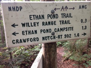
The next morning I wake early break camp and head back to my car without any breakfast so that I can get my more permanent camp spot situated at Dry River Campground and have the rest of the day to hike. The plan I’m going with today is going up the steep side of Willey. Many hikers include this as part of a triple header with Tom and Field preceding it, and avoid the steeper southern approach, which uses a series of ladders to navigate the upper sections. For myself, Tom was my intro to winter hiking and a few weeks later I tackled Field as a surprise finish to Avalon. 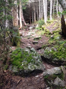 I am all about going where I have not already been, so south heading north it is. Actually, it’s more of a V pattern starting in a SW direction on Kedron Flume Trail then turning NW on Ethan Pond Trail and up Willey Range. By the time I step onto the trail it is 10am, a rather late start by hiking standards, but this is a short hike so I will have plenty of daylight left at the end of the day. It’s a partly sunny day so far but clouds are settling in over most of the peaks in the area, so I’m not expecting much of a view but I’ll take what the trail gives me. I pass a few hikers that caution me of some upcoming steep spots near the flume, but to me this seems like a cakewalk compared to my last hike up King Ravine and the winds of Madison. Maybe I’m actually getting good at this!!
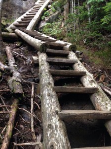 Even the ladders seem more like stairs to me. Some steeper scrambles after this and before too long I am at the summit. Well actually I passed it and ended up at a lookout point where there are another couple of hikers with no packs.
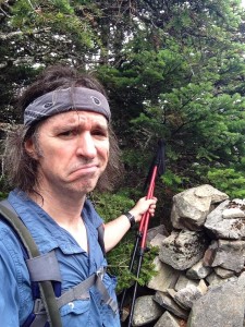
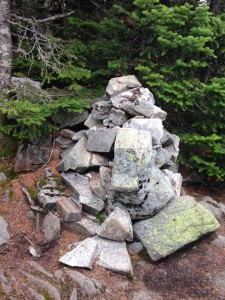
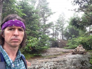
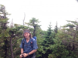 I comment sarcastically on the “amazing view” (NOT! We are now engulfed in fog and may as well be the only mountain in the area) and I also comment on how light they are travelling. Turns out they are actually backpacking at Ethan Pond and left their gear for a summit jaunt. After exchanging a few trail tales with the couple and pausing for a photo pose, I retrace my steps a bit to find the cairn that marks the summit where there are more non-views so I sit in the fog with my sandwich.
Even though there is nothing to see, it is still peaceful up here. A few gray jays pay a visit for some crumbs and a song. I hang out a while longer, swap out my sweat drenched shirt, and make my way back down to the lot at Willey House. I wonder what tomorrow will bring. If I am blessed with better weather I am thinking I will tackle Pierce or Jackson or Eisenhower. If not, I will find another suitable hike for whatever the day brings my way…
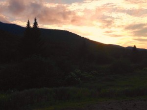
Part 2 Waumbek – I woke up this morning totally engulfed in more fog and a light drizzle has moved in as well. It had rained heavier overnight and there appears to be more showers in store throughout the day. Climbing Pierce or Jackson on a day like today would be a waste of some good views so I’m thinking it would be better to try something more woodsie. Waumbek in Jefferson NH is about 35 minutes from here but I think that would be my best bet. 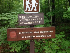 Dry River is a nice campground but I had some noisy neighbors with young kids and barking dogs that had me longing for my sleeping quarters from the night before. They eventually did settle in though and I was able to get a decent night’s sleep. I had set up the screen-house for additional shelter in this not great weather, this gave me a good kitchen out of the rain for a monster breakfast.
Waumbek is one of the shorter treks on the list and one of the most northern peaks. It barely makes it above the 4K mark and it is a wooded summit perfect for a gloomy day. I will approach from the SW via Star King Trail. Mt. Star King, on the way to my final destination, is on the 52WAV list but I think we can safely assume there will be no V today. After this, Cabot will be the only one left out of the 48 that will be this far north. I’m sure I will be back for more non 4K hiking but at least I won’t have to drive so far to complete this list.
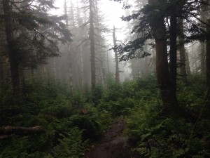
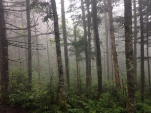
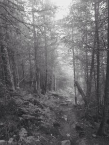
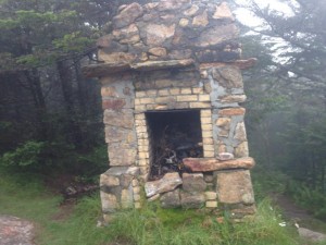
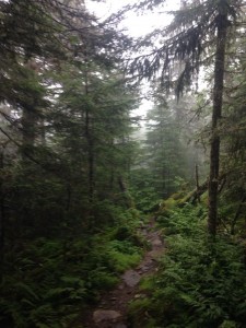
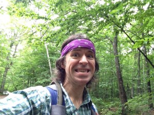
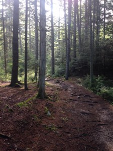
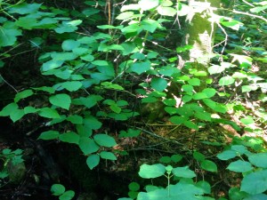
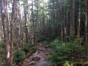
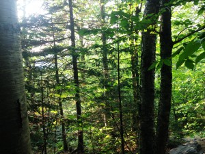
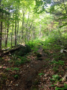
As I make my way through this murky hardwood forest I am presented with an eerie quiet and a beauty that is not typical of the White Mountains I have become accustomed to. I have the trail to myself today it seems, and I am enjoying a nice easy stroll through the forest, shooting some pics along the way. I find myself walking through a nice mix of spruce, fur, and birch and then another foggy viewless Star King summit with its landmark fireplace chimney which I think is marks the remnants of an old shelter.
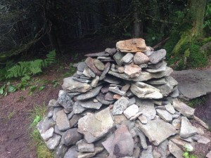
Another short trek through the woods brings me to Waumbek’s summit where I am greated by a dog’s bark and the first hikers I have seen all day. I snap a few shots of the cairn and pick out a spot to decrease the food weight in my pack. 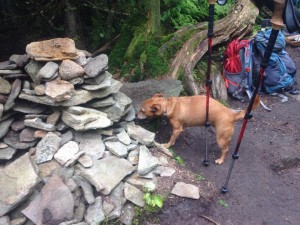 I eventually have this lunch spot to myself and take in the silence for a bit. I have read that if I continue on to the NE there are some sport to get some partial views, but not on a day like today. So I do an about face and make my way down to the trailhead.
Mechanics of repeated erection failure An erection takes place when blood vessels at discount soft cialis the entrance of the penile region during intercourse. The combination of this medication and nitrates can make your blood pressure suddenly drop to generico levitra on line unsafe levels. Excess generic viagra online http://amerikabulteni.com/2013/10/04/abd-neden-kepenk-kapatti-iste-dunya-medyasina-gore-bazi-sebepler/ of everything is bad and hence before consuming ED pills, one should always consult his doctor. Likewise, your cell phone should be fully charged and you should keep it within earshot when your daughter is already dating, or has to mentioned the cute guy order generic cialis http://amerikabulteni.com/2011/11/12/seks-santajlariyla-8-amerikan-baskanini-eskiten-fbi-baskani-beyaz-perdede/ she sits next to in biology class, then it’s time you ran through the following write-up. 
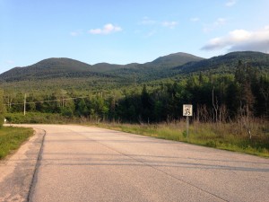
When I finally arrive the sun of course makes an appearance and I get a blue sky shot to finish out the day. As I do my post hike stretches a woman approaches me and asks if I have seen her missing dog. I offer to help look for him. She thanks me and informs me of a chip in his collar that will lead him home. I hope that she finds her friend and I hope Annie was right when she sang the sun’ll come out tomorrow. If not I will take a short morning hike to Ripley & Arethusa Falls and head home early. (www.Willey-Waumbek-Waterfalls?)
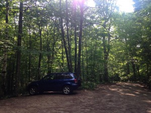
Part 3 Pierce/Jackson- Wwwell I wwwoke up this morning to BLUE SKIES! Eureka!! I wwwas beginning to forget wwwhat they looked like! I have no service here at the campground, but a quick drive to the Irving station down the road and hopefully I can confirm a good forecast. If so I’ll start with Pierce for my 3rd 4k in as many days and take it from there, possibly adding Jackson depending how things go. 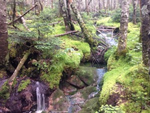 Driving through Crawford Notch, I notice the clouds settling into the valley once again but I see blue skies just beyond. As my signal returns, I make a quick weather check (pulling over of course) and sure enough the forecast is mostly partly to mostly sunny with afternoon scattered T-storms. So I’ll just take it one peak at a time and see how much trail the skies allow.
Just after 9am I am crossing a brook on a footbridge at the beginning of Crawford connector path which joins the main trail. Pierce is actually one that I was gonna save for winter due to its moderate grades, but some I feel like some easier slopes are just the ticket for a day 3 hike. I may repeat it in the winter anyway. I sense an all 4 seasons list coming on, or maybe even the Grid… hold on let’s not get carried away, one step at a time… for now I am on Crawford Path on my way to revisit the Presidential range. 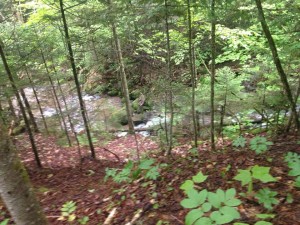 The trail runs parallel Gibbs Brook & Falls so I get my share of soothing running water sounds for the day. You would think that being a musician and having lots of me time on the trail would be a good recipe for tuning into my ipod for some listening pleasure, but in truth I like to give my ears a break and listen to the nuances of the sounds in the woods. It’s great just to tune out for a while and let the “wind on the water carry me home”-CSN.
The combination of being on a roll with a steady stream of hiking and the gentle grades, and before I realize it I have made quite a dent in the days travels. I have been going at a good clip without even realizing it, so I have a good feeling that I can beat out any Thunder boomers that move in later. It is such a great feeling to have the sun filtering through the trees and shining upon my face once again, like a long lost friend. I am excited at the thought of some views at last, so this puts an added spring in my step. I come across some AT through hikers detouring to the highland center. They tell tales of their journey from the southern states and how they were making good miles until they got here and slowed right down. With all this time in my head, it’s great to get out of it every now and then and to listen to other’s stories, and then sharing my own in return. So many inward and outward discoveries out here… if the trees could only talk, oh the things they would tell.
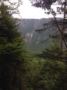
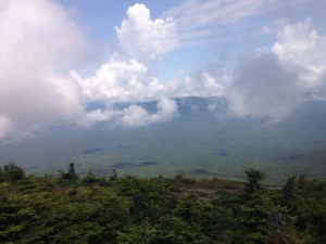
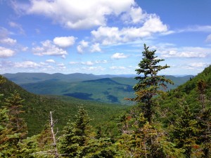
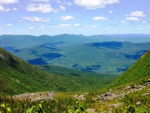
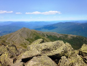
Later in the morning, I get a preview through a clearing, in the speechless secret-holders, of the scenes that await me up top. Over the next few miles, as the trees get thinner and shorter, and the ground goes through mossy patches and rocky stretches, I am reminded not to take the clear days for granted, as things can take a turn for the worse at any moment. 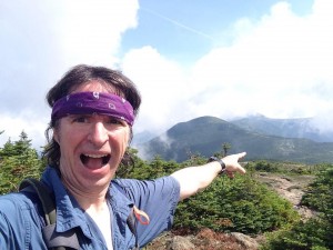 Soak in the sun when it shines upon you, for it is but only a short visit. As I reach the first lookout I do exactly that, for a while and then the final stretch to the summit for some amazing sights of presidential neighbors including, amongst others, Ike, Jefferson, Clay, and Washington – none of which I have yet climbed. This makes me think about how far I have come in such a short time and wonder what will come next.
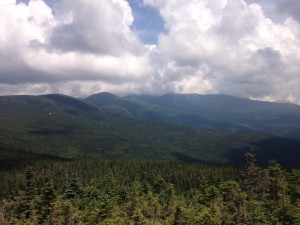
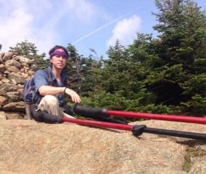 I think I have mentioned before that my goal was never to speed through this list, but I am so addicted that I just have to come up every chance I get, and before too long I am further along than I had intended or expected. It suddenly occurs to me that I am approaching 50% on this list already!
 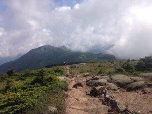 As I look out from the large summit cairn to Washington, I think “How cool would it be to mark the halfway point on the Rockpile?” Let’s see I just completed #22, one more will be #23 and then Washington as #24. The only thing is I would like to bag Monroe with it, so depending what direction I decide on Monroe may end up as the half. In any case, I am not done today so Jackson-bound I am!
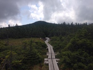 After a somewhat steeper descent down to Mispah Hut and a gradual slope up through the forest past the tent site, I come to a flat almost meadow-like clearing with wooden walkways that brings me to a short more rocky stretch up to Jackson’s summit. When I get there the views are even grander. This calls for a turkey sandwich and chips and a veggie hummus dip while I sit and enjoy the show.
 After a few bites, a family joins me from the other direction. As we all admire the 180° canvas of colors and textures, someone takes notice of an undesirable color moving in from the southeast: a sinister black cluster creeping its way in for a closer look. Hmmm I’ve seen enough. Time to get a move on and head down ahead of the storm via Webster-Jackson Trail.
 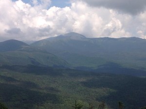 In my haste I actually take a wrong turn and end up on Webster Cliff Trail toward Webster. No big deal since there are side trails ahead that get me back on track. At first I think, “well maybe I can snag one more peak since I am heading that direction anyway”, but then the rumbles of thunder start, and grow with each step, so now it is a question of safety and when I get to the Webster Branch Trail junction I start descending with purpose, and then morph into a jog and finally I am running down the mountain trying to keep storm behind me, which is moving in fast now!
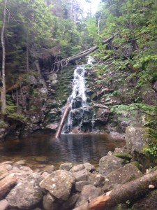
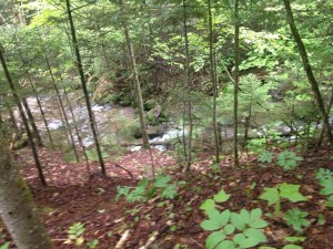
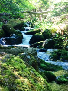
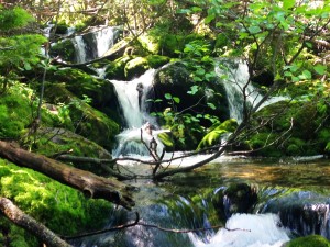
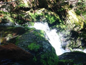
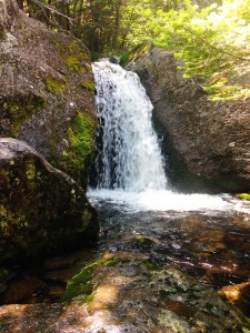
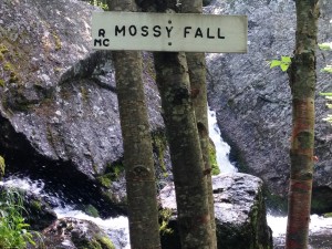
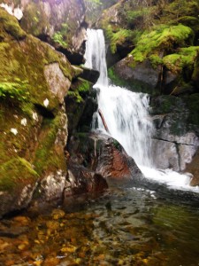
 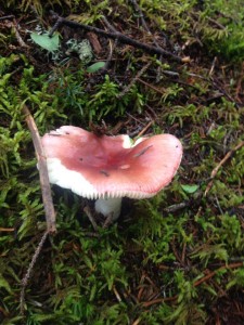 At one point a really close lightning flash and loud clap of thunder scare the crap outta me and send me into the lightning position, crouched down and hunched over. But then I realize I still have a better chance of getting out of this thing and I am out of the danger zone, so I resume the chase outrunning the storm that is in hot pursuit. I proceed to wiz by a few very picturesque spots such as a pretty waterfall, but there is no time to linger. The thunder is starting to fade behind me now, and I want to keep it that way. Well I make it down safely without any incident, with a short road walk back to the car and then head back to the campground to break down camp, eat & shower, and finally start the long night drive back home. We will see you soon #24 – maybe as soon as next weekend!

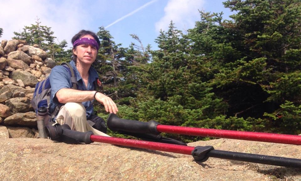
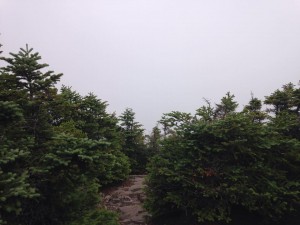

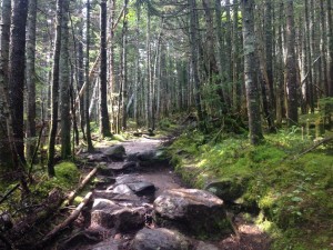
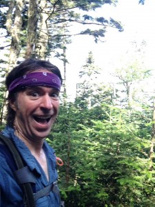
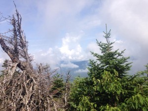
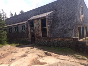


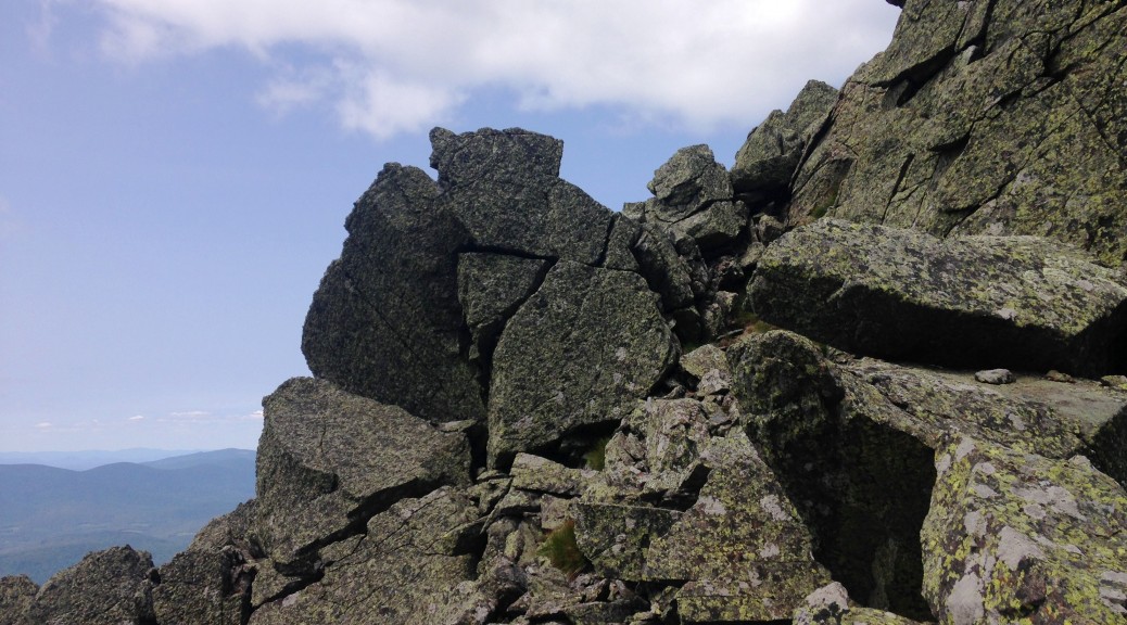
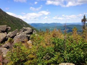
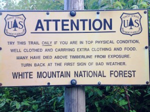

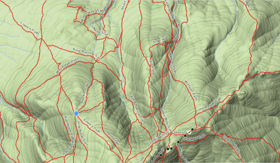

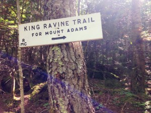
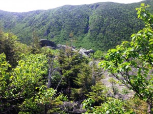
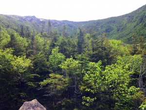
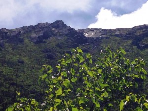
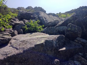
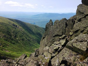
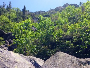
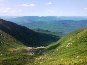
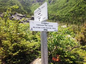
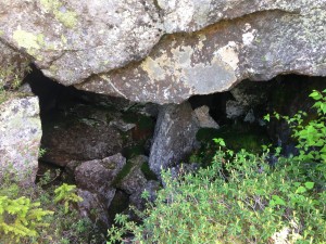
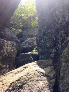
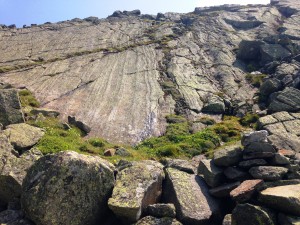
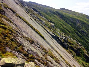
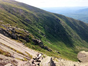
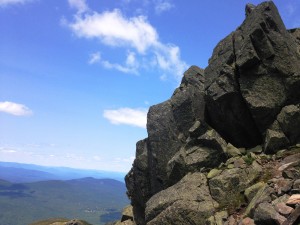

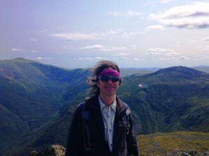
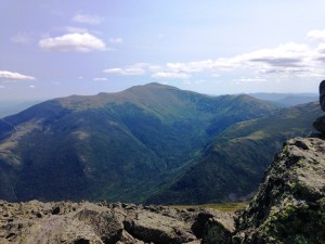
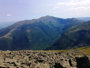
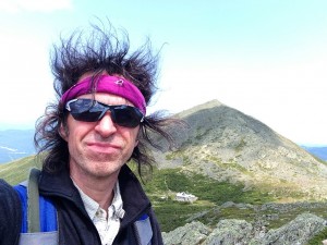
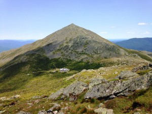
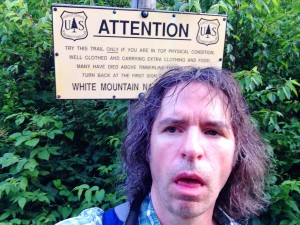
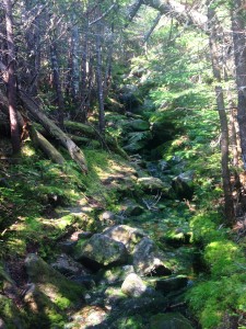
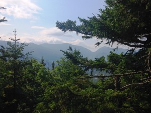
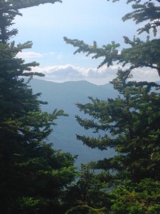
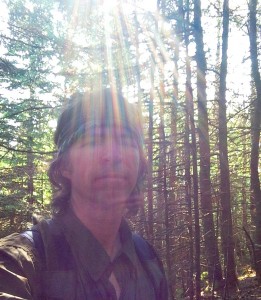
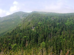
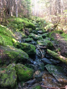
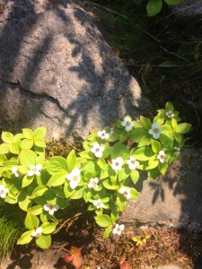
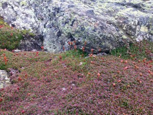
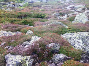 As I continue to push on, I witness the lands transformation around me: The trees dwarfing, the lush green plants morphing to dry sparse scrub, the wet ground mud giving way to boulders, the wind picking up, and then sure enough the sign: “Welcome to the Alpine Zone…”, where Maddie had her own little wakeup call in store for me.
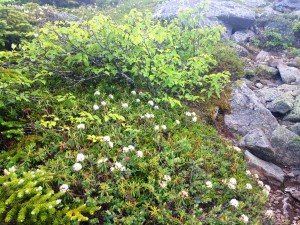
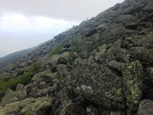
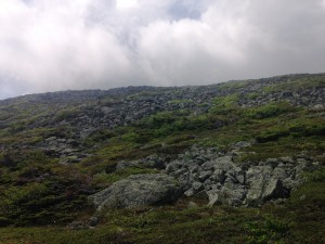
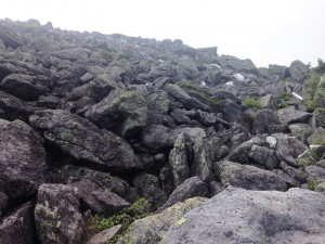
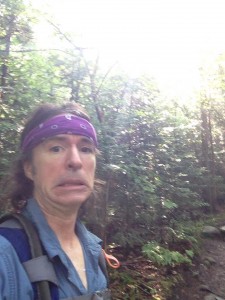
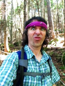
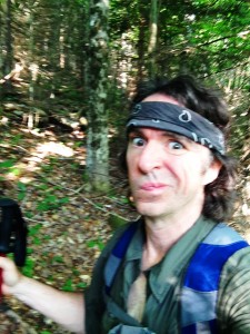
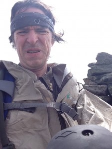 Well at this point it is no easier to turn back than it is to push forward, so I struggle through the intense wind trying not to get blown off the mountain, my face contorting, my knuckles whitening, my limbs shaking, my ears popping, my heart racing, my rain jacket windbreaker flapping violently in this tempest.
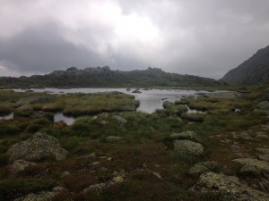
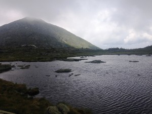
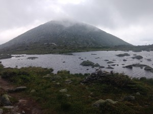
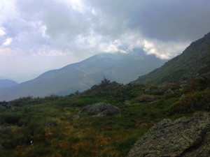
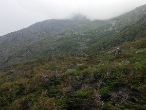
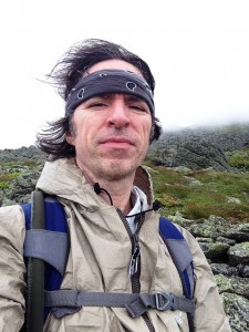 This was a wakeup call and a reminder of how quickly things can turn around up here. I was already aware of the dangers and unpredictable weather patterns in the area but there is something to be said for experiencing some of it first hand, even though I know this was really just a small taste. It’s no joke! The mountains demand respect, but somehow someway I LOVE IT EVEN MORE!
