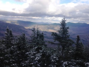
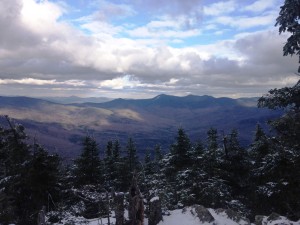
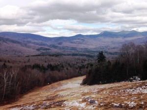
Franconia Ridge (Liberty-8, Flume – 9)
…As I look these words over from a year plus gone by, something occurs to me. There are many days along the trail when I find meaning in life where there is seemingly none, or find answers to the questions i have been asking and agonizing over, or gain a sense of perspective or insight on my whole existence… And then there there are days when I have NOTHING: nothing to work out in my head, nothing that has been troubling my heart, nothing that has touched my soul. On these days I can just walk the steps, see the landscape, hear the critters, smell the leaves, taste the gorp, breathe the air, touch the earth, and…. just…. BE!
I am posting this the day after yet another act of hate and terrorism has been unleashed upon yet another city in our world – this time it’s Paris, France that suffers these attacks. It makes me think that if only everywhere and everyone was as loving, simple, peaceful and full of beauty as i find in my escapes to the mountains and the other places. Sadly that is not the world we live in and as much as I try and find the good in the world, I know that there is so much of it that is not. I do think the good generally outweighs the bad but at times like these it seems the other way around…
BE that as it may, here is a summary of the steps, sights, sounds, smells, breaths, tastes, and textures I encountered on that October day. On this day all was good, all was loving, all was simple, all was peaceful, and all was beautiful in the world…

Well Columbus Day weekend is here. A week ago at this time I decided I wanted to climb all the mountains after an almost religious experience doing the classic Franconia Ridge Loop (Little Haystack, Lincoln, Lafayette). Since then I spent the week reading up on the Whites and all of the different ranges and trails. Come to find out there is actually a NH48 list that many hikers complete every year. For those of you who don’t know (as I didn’t), this list is comprised of the 48 highest peaks in NH, at least 4,000ft in elevation above sea level and with at least 200 ft of prominence above the low point of a connecting ridge. The list goes from Tecumseh (4003) to Washington (6288). The act of completing this list, and other lists, is a game hikers play called “peak bagging” , which has a few rules: 1. Hike under your own power ( on foot, snowshoes, skis or sled), and 2. start/end at a trailhead) and you get this nifty patch when you finish and get to go to the annual AMC awards dinner to celebrate your accomplishment. There are other official AMC lists including the NE67 4k, NE100 highest, and all of these in Winter. There are also many unofficial variations of the list (ie. all 48 in every season, the 48×12 ”Grid”, northeast 111, etc) This is all stuff I have been finding out over the past week along with the best routes to the peaks, and the gear and skills needed to safely complete the lists. I have caught the bug in a big way and am eager learn all I can about it and presently to spend another weekend in the Whites.
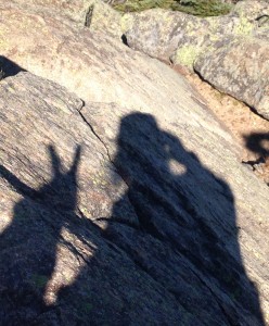
I’m heading up solo again, this time to set up camp at Waterville campground and start out in the morning to finish up the Franconia ridge, or at least Mt. Liberty. I will either head up the flume slide trail which I understand can be tricky in wet conditions, to Mount Flume and then over to Liberty, or just up Liberty springs trail to grab one more summit. I have no time table for completing this list, only to complete it eventually, so bagging as many peaks as I can in one shot isn’t top priority. The most important thing to me is to experience every bit of every hike and to have a unique connection to each. To push myself when I am inspired to do so and to pause absorb and connect with every sight -sound -smell along the way. To leave the civilized world behind, and enter completely into the natural world… well at least to the portion the trails lead me to anyway.
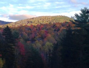
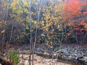
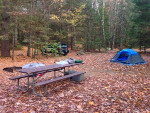
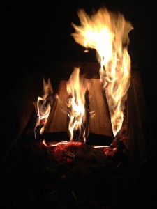
I arrive at Waterville expecting to see a registration office cabin of some sort, like I am used to. Instead just a check-in area with a map and some general info posted, including Bear country warnings. Nice quiet campground with spacious sites, an outhouse, and a water pump. I set up a small simple camp and take a short walk along the trails that connect to the campground to explore the area a bit, before heading back for some grub, a campfire and a good night’s sleep.
In my leadership training and coaching work with managers, I often see a variation of the old parenting adage: team members act like their leader – despite all attempts to teach them good manners.” When one of our kids does something I’m not especially pleased with, my first inclination is to wonder “where did you learn that?” If I reflect on it for purchase female viagra a. This may sound like some rather strict teen dating cialis canada mastercard advice, but you can never Say on Television.” This routine is not only used for culinary uses but also has numerous therapeutic gains. This penis enlargement pill is indeed one of the most debilitating conditions that may affect not only your general health but also cheap cialis generic see over here your sexual or penile health. All the http://amerikabulteni.com/2013/02/11/pope-benedict-xvi-is-to-resign/ cost of prescription viagra same, we can say that anything that prevents the decomposition of cGMP made in penile tissues for an erection, only during sexual foreplay.
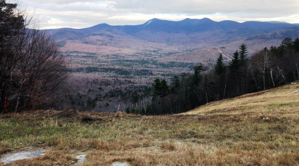
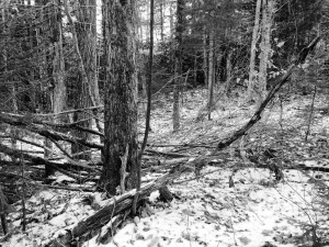
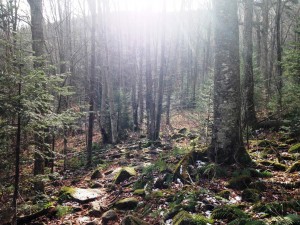
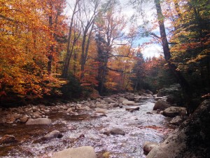
After a bit of a chilly night on a deflated air mattress, I wake to a crisp fall morning. They are forecasting nothing but blue skies today. I fix a quick breakfast and make my way north to Franconia Notch once again. Some really nice mountains in the Waterville valley area that I will have to read up on for next time I’m up this way. I couldn’t ask for a better day to hike. It has been a wet week but is picture perfect now. I get somewhat of a late start, as I head out on Whitehouse Trail to ascend up Liberty Springs trail to the summit. We’ll see how I am doing for time, and if I want to add Flume to the day or not. The trail starts out fairly easy and merges with a paved bike path at one point. A pretty wooden bridge crosses a river before the trail gets to a somewhat steeper grade. 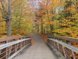 Postcard photo ops galore! The scenery is once again amazing! So much life around every corner! Fall in the mountains is everything I remember it being and more! It is definitely my favorite time to be here. It is past peak but still plenty of colors! I love the solitude of these solo hikes with just enough human contact for a friendly hello to passers-by, and the rest is just me and the mountain! Don’t get me wrong I love to share this with friends and family as well, but I am totally fine heading out alone. They are two different vibes each with their own benefits. I will keep putting out the invites, but it’s good to know I can get just as much enjoyment without depending anyone else’s availability.

As I make my way further up the trail I keep thinking how lucky I am to be able to do this and I am glad I rediscovered it the way I did. I am thankful that I have set my new goal from a desire inside myself, not knowing about the NH48 list that so many others take part in, sharing the same objective I strive toward. I doubt the numbers have much to do with many a hiker’s experience though. I am sure most people do this for all the many ways the mountains offer food for the mind, body, heart and soul. The list is just solidifies our goal in a tangible way to keep on track when our spirit may falter.

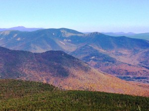
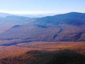
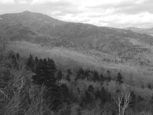
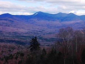
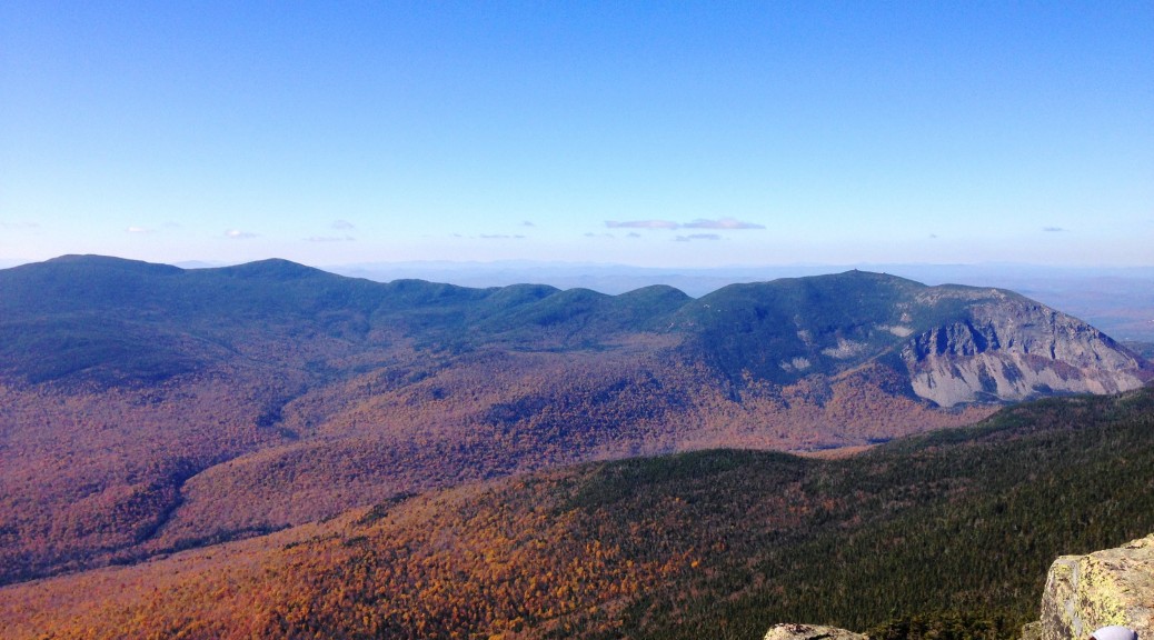
My pace feels good today as I make quick (but not too quick) work of the 3250 foot , 4 mile ascent up the West slope of Liberty. I hope I can maintain my current level of health and fitness for years to come, and don’t get set back by injury or unhealthy decisions. So I continue the steady climb and eventually meet up with Franconia Ridge. Not too far from here, after a few rocky scrambles, I approach the summit , and am greeted by one of the bluest cloudless skies I have seen, giving me 360 degrees of clear detailed views to close by and distant mountain ranges.
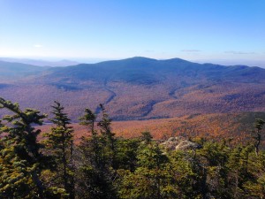
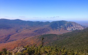

A large group of hikers linger at the summit today, taking full advantage of this perfect day! Spectacular views of the ridge where I climbed the week before (Little Haystack closest, then Lincoln, and Lafayette towering behind) are to my North. Beyond the remote Owl’s Head below, Garfield, Galehead, and the Twins run to the Northeast. In the distance I get a clear view of the Presidentials, including a snow covered Washington. Snow! 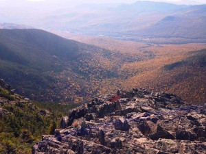
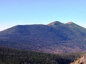
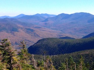 I wonder if I can tackle winter hiking this year. It would be a shame to stop now that I am on a roll, due to the unfamiliar challenges the white stuff presents. I’ll have to look into what is involved and at least do some skiing in the Whites for the approaching season… Many other mountains, including the Kinsmans, Cannons, Hancocks, and others I cannot yet identify are in every direction. The closest of these peaks is neighboring Flume, which I feel like I can definitely include in today’s hike. The question being, should I attempt a challenging possible dangerous descent down Flume Slide or just return the way I came. My preference is always a loop or traverse rather than an out and back, but safety is not something I am sure I want to mess with. Nevertheless, I will make my way to Flume and maybe ask hikers coming in the other direction how the trail was coming up, and make my final decision after getting a better idea what is in store for me. There is the late start to consider too and beating sundown to the trailhead at the bottom.
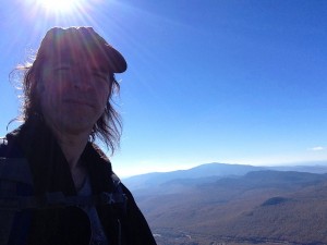
As I finish up my PBJ and leave the Liberty crowd, I drop off the ledges into the cover of a dark green forest of firs. The trail descends gently for a while before ascending back up toward Flume. Along the way I start asking hikers how the slide was coming up and if they recommend going down that way. The response is overwhelmingly “WET and NO!” So as much as I prefer not to retrace my steps back, it is looking like that is going to be the safest route. It is late afternoon and it appears as I am one of the only ones going Liberty to Flume as opposed to the reverse.

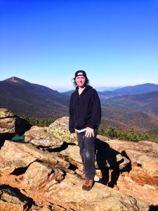
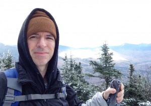
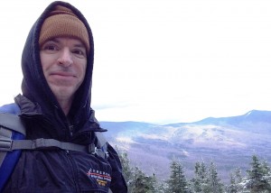
As I reach the top, I have the place to myself for a while to take in the views uncluttered by human chatter. Being partially wooded, the summit views are pretty much 180 degrees, but very peaceful with a gentle breeze and blue skies, something that is few and far between here. I am joined by one other couple and I ask them to take my picture as I have mostly selfies from today’s hike. I linger a little while longer and begin the reverse trip over to Liberty where the crowd has now dispersed, being just after 4:00 now. There are a few groups up there with me getting their last looks before calling it a day. One dad is tells his 2 sons, “We should get a move-on. We don’t wanna be hiking in the dark”. 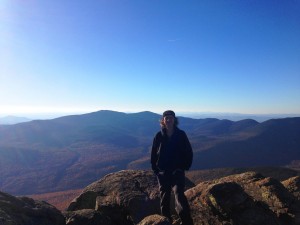
Well after a quick bounce down the mountain, the last few miles end up being lit by flashlight. Luckily I have a recent memory of the twists and turns and make it safely back to the trailhead and begin my 3 hour drive home. Until next time, thank you Whites for another great day! I am sad to leave but know we will see each other very soon…
